
10 Best Colorado Mountain Drives Reddit Says Belong on Your 2026 Bucket List
From Mount Blue Sky and Trail Ridge Road to Independence Pass and Cottonwood Pass, explore the 10 Colorado mountain drives Reddit drivers swear by in 2026.

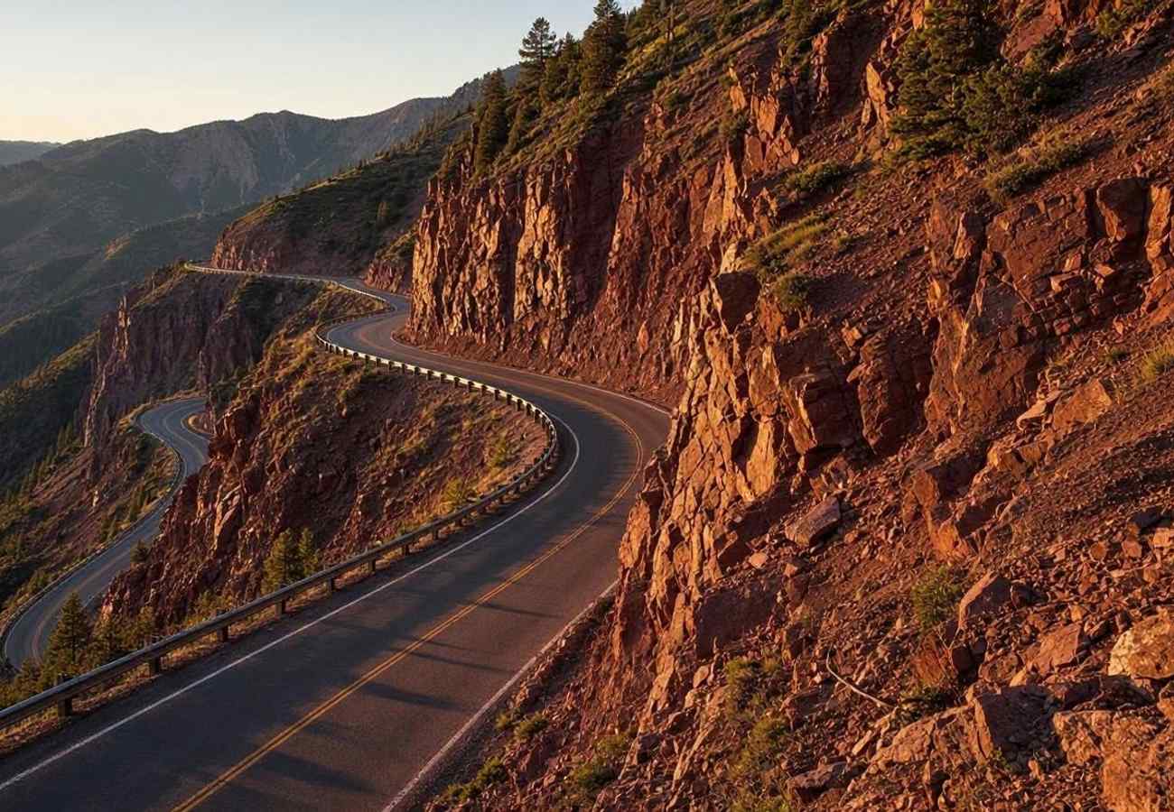
Image generated by AI
Ascending above 12,000 and 14,000 feet on a paved mountain road is one of the most heart-pounding driving experiences anywhere in the world. In Colorado, an extraordinary network of high-altitude passes, summit highways, and canyon corridors cuts directly through subalpine tundra, glacial cirques, and sheer granite walls.
On local motoring forums like r/Colorado, r/Denver, and r/roadtrip, community enthusiasts regularly debate which mountain corridors deliver the purest adrenaline, most dramatic vistas, and finest driving dynamics. Navigating these narrow switchbacks requires an appreciation for thin air, engine downshifting, and strict seasonal timing. Here are the 10 best Colorado mountain drives Reddit travelers say belong on your 2026 bucket list.
1. Mount Blue Sky Scenic Byway (Colorado Highway 5)
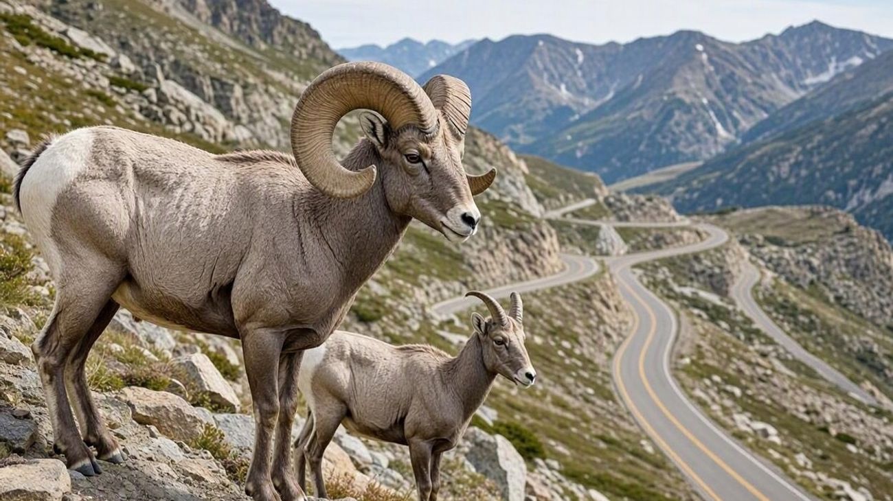 Image generated by AI
Climbing to an astonishing 14,130 feet above sea level, the Mount Blue Sky Scenic Byway (formerly known as the Mount Evans Highway) holds the title of the highest paved road in North America. Beginning at Echo Lake on Colorado State Highway 103, this 14-mile road ascends through ancient twisted bristlecone pines, past Mount Goliath and Summit Lake, before terminating just below the 14,265-foot summit.
Along the upper switchbacks above the treeline, motorists regularly encounter herds of Rocky Mountain bighorn sheep and mountain goats casually licking mineral salt from the asphalt. The panoramic vista from the summit encompasses the entire Front Range and Continental Divide.
Reddit drivers emphasize that vehicle timed-entry reservations through Recreation.gov are strictly enforced during the short summer operating season (Memorial Day through Labor Day). Dress warmly: even in July, summit temperatures hover near freezing with biting alpine winds.
2. Trail Ridge Road (Rocky Mountain National Park, US 34)
Spanning 48 miles between Estes Park and Grand Lake, Trail Ridge Road is the highest continuous paved highway in the United States, reaching an apex of 12,183 feet. For 11 continuous miles, motorists drive above the treeline across fragile alpine tundra reminiscent of the Arctic Circle.
Highlights include the dramatic drop-off at Many Parks Curve, crossing the Continental Divide at Milner Pass, and exploring the interactive exhibits at the Alpine Visitor Center. Massive bull elk with velvet antlers frequently graze in tundra meadows along the roadside.
Community members on r/NationalPark remind travelers that summer timed-entry permits are mandatory for vehicles entering Rocky Mountain National Park. The road typically opens by late May and closes for the season after the first major October blizzard.
3. The Million Dollar Highway (US Route 550: Ouray to Silverton)
Carved into the vertical cliffs of the Uncompahgre Gorge, the Million Dollar Highway is the most celebrated cliff-edge driving thrill in the American West. Over 25 miles, the road climbs from Ouray ("The Switzerland of America") over 11,018-foot Red Mountain Pass into the historic Victorian mining camp of Silverton.
The hallmark of the drive is its exhilarating exposure: two lanes of asphalt etched into sheer red canyon rock with zero guardrails, zero shoulders, and multi-thousand-foot drop-offs right beside your tires.
Reddit drivers consistently recommend driving Southbound (Ouray to Silverton) for maximum cliff-edge views, or Northbound if you prefer having your vehicle against the inner rock wall. Always check road conditions on the Colorado Department of Transportation portal before setting off.
4. Independence Pass (Colorado State Highway 82)
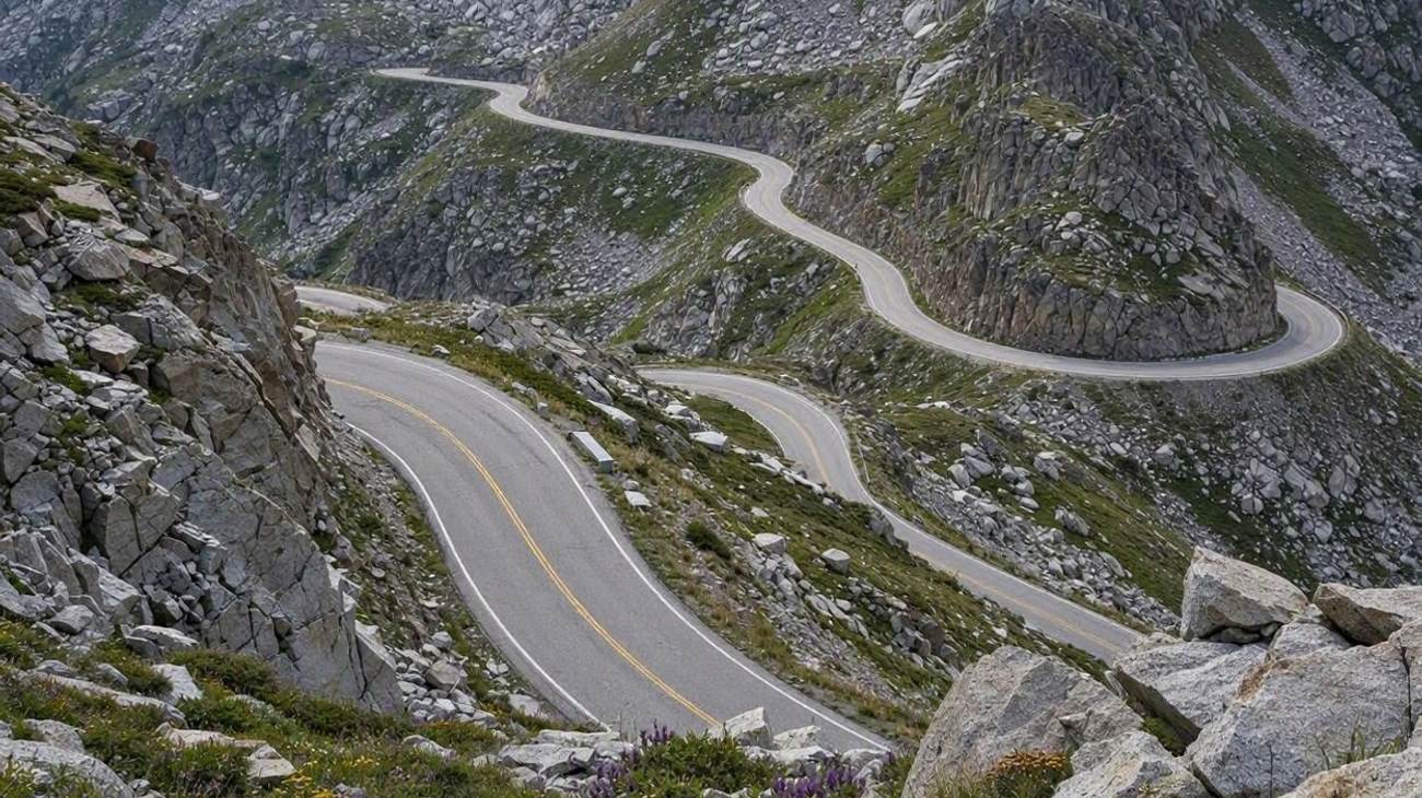 Image generated by AI
Crossing the Continental Divide between Twin Lakes and Aspen, Independence Pass reaches a dizzying elevation of 12,095 feet. Originally carved as a stagecoach route in the 1880s, the modern paved highway navigates tight, twisty hairpins beneath the towering peaks of Mount Elbert and Mount Massive.
Near the summit, the road narrows to a single lane where opposing vehicles must negotiate tight passing zones along sheer rock faces. Must-stop waypoints include the historic Independence Ghost Town and the scenic summit boardwalk overlooking rugged subalpine cirques.
Redditors note that commercial vehicles and any vehicle or trailer combination exceeding 35 feet in total length are strictly prohibited from driving Independence Pass, under threat of substantial fines.
5. Pikes Peak Highway (Cascade, Colorado)
Rising 7,400 vertical feet over 19 paved miles, the Pikes Peak Highway climbs from Cascade, Colorado, to the 14,115-foot summit of America’s most famous mountain—the very vista that inspired Katharine Lee Bates to pen "America the Beautiful" in 1893.
The drive features 156 curves, culminating in the harrowing switchbacks of the "W" curves near the summit. At the top, the state-of-the-art Pikes Peak Summit Visitor Center provides interpretive exhibits and world-famous freshly fried high-altitude donuts.
Travelers on r/Colorado highlight the mandatory brake check station located at the Glen Cove midpoint on the descent. Park rangers use infrared temperature guns on your brake rotors; if your brakes are overheating, you are directed to park until they cool down. Always shift into low gear to let your engine control vehicle speed.
6. Cottonwood Pass (Buena Vista to Taylor Park Reservoir)
Connecting Buena Vista in the Arkansas River Valley with Taylor Park Reservoir on the Western Slope, Cottonwood Pass (Chaffee County Road 306) climbs over the Continental Divide at 12,126 feet. Fully paved on both the eastern and western slopes in 2019, it is now the second-highest paved mountain pass in Colorado.
The highway winds through dense pine forests before breaking into sweeping alpine vistas surrounded by the towering 14,000-foot summits of the Collegiate Peaks (Mount Princeton, Mount Yale, Mount Harvard).
Reddit drivers praise Cottonwood Pass as a smoother, modern, and far less congested alternative to Independence Pass, offering wide turnouts and majestic hiking trails at the summit saddle.
7. Loveland Pass (US Route 6: Clear Creek to Summit County)
Reaching an elevation of 11,990 feet along the Continental Divide, Loveland Pass provides a thrilling, high-altitude detour off Interstate 70, bypassing the Eisenhower-Johnson Memorial Tunnel.
The road winds steeply past Loveland Ski Area and Arapahoe Basin, delivering classic alpine hairpins and panoramic vistas across Mount Sniktau and Cupid Peak. Because hazardous-materials trucks cannot use the Eisenhower Tunnel, they travel Loveland Pass, keeping the road plowed and open throughout the winter months except during severe blizzards.
Redditors recommend stopping at the Continental Divide marker sign at the pass summit for iconic photographs, but warn drivers to stay alert for heavy winter winds and drifting snow.
8. Kebler Pass (Gunnison County Road 12: Crested Butte to Paonia)
Connecting the historic ski enclave of Crested Butte with the fruit orchards of Paonia across 31 miles, Kebler Pass reaches 10,007 feet. While largely an unpaved, well-graded gravel road, it is easily passable by standard passenger sedans during summer and autumn.
Kebler Pass winds directly through the largest contiguous aspen forest in North America—a massive interconnected living organism. From late September through early October, the entire mountain pass glows with a brilliant canopy of golden, orange, and amber leaves framed against the jagged tooth-like spires of the Ruby Range.
Community members on r/roadtrip unanimously call Kebler Pass the single finest autumn foliage drive in the entire state of Colorado.
9. Guanella Pass Scenic Byway (Georgetown to Grant)
Connecting the historic Victorian silver-mining town of Georgetown with Grant along US 285, the 22-mile Guanella Pass Scenic Byway climbs to 11,670 feet. Fully paved along its entire length, the road winds through lush spruce-fir forests and subalpine willows beneath Mount Bierstadt (14,065 feet).
At the pass summit, broad boardwalk paths meander through fragile alpine wetlands, offering close-up looks at grazing bighorn sheep and yellow-bellied marmots. In autumn, the hillside above Georgetown turns into a tapestry of brilliant yellow aspens.
Reddit drivers recommend leaving early in the morning, as summit parking fills quickly with hikers attempting to summit Mount Bierstadt on sunny summer weekends.
10. Glenwood Canyon Highway (Interstate 70 Engineering Marvel)
While Interstate 70 is generally a high-speed transit artery, the 12.5-mile stretch through Glenwood Canyon is widely regarded as one of the greatest highway engineering achievements in human history. Completed in 1992 after 12 years of construction, the highway is cantilevered directly above the roaring Colorado River within sheer 1,000-foot canyon walls.
The roadway blends into the fragile canyon environment using 40 viaduct bridges, twin tunnels through granite walls, and four dedicated rest areas providing direct access to the paved Glenwood Canyon Recreation Trail and the world-famous Hanging Lake trailhead.
Travelers on r/Colorado advise slowing down and utilizing the scenic rest areas at Grizzly Creek or Bair Ranch to appreciate the canyon from the river's edge rather than rushing past at interstate speeds.
Top Colorado Mountain Drives: Comparison & Elevation Matrix
| Mountain Drive | State Highway | Peak Elevation | Surface Type | Seasonal Window | Reddit Insider Advice |
|---|---|---|---|---|---|
| Mount Blue Sky | CO Hwy 5 | 14,130 ft | Fully paved | Memorial Day – Labor Day | Highest paved road in N. America; book timed entry on Recreation.gov. |
| Trail Ridge Road | US Route 34 | 12,183 ft | Fully paved | Late May – late October | 11 miles above treeline; park pass and timed reservation required. |
| Million Dollar Hwy | US Route 550 | 11,018 ft | Fully paved | Year-round (weather permitting) | Zero guardrails over Red Mountain Pass; downshift on steep grades. |
| Independence Pass | CO Hwy 82 | 12,095 ft | Fully paved | Late May – early November | Strict 35-ft vehicle limit; single-lane pinch points near the summit. |
| Pikes Peak Highway | Toll Highway | 14,115 ft | Fully paved | Year-round (weather permitting) | Pass mandatory Glen Cove brake check; try the summit donuts. |
| Cottonwood Pass | CR 306 | 12,126 ft | Fully paved | Late May – late October | Fully paved in 2019; smoother, modern alternative to Independence. |
| Loveland Pass | US Route 6 | 11,990 ft | Fully paved | Year-round (weather permitting) | Best quick high-pass detour off I-70; winter snow plows run constantly. |
| Kebler Pass | Gunnison CR 12 | 10,007 ft | Graded gravel | June to late October | North America’s largest aspen grove; best fall color drive in Colorado. |
| Guanella Pass | Byway | 11,670 ft | Fully paved | Late May – late November | Fully paved; hike summit boardwalk beneath Mount Bierstadt. |
| Glenwood Canyon | Interstate 70 | 6,100 ft | Interstate highway | Year-round | Slow down through 40 cantilevered viaducts; stop at Grizzly Creek. |
Essential Reddit Tips for Mountain Pass Driving in 2026
Forum contributors across r/Colorado and r/roadtrip urge motorists to master three fundamental high-altitude driving principles. First, never ride your brakes on long descents. Shift your vehicle’s transmission into low gear ("L" or "2") or manual mode to harness engine compression. Overheated brakes lead to fluid boiling, brake fade, and complete stopping failure.
Second, respect high-altitude weather volatility. At elevations above 10,000 feet, sudden summer thunderstorms can drop ambient temperatures by 30°F within minutes, turning dry asphalt into slippery slush or pea-sized hail. Pack warm layers, gloves, and rain jackets in your vehicle regardless of how hot it feels in the valley.
Finally, keep your eyes on the road and use pullouts. If passengers want to photograph cascading waterfalls, mountain goats, or jagged peaks, safely pull all four vehicle tires completely off the roadway into a paved or gravel turnout before stopping.
Frequently Asked Questions About Colorado Mountain Drives
What is the highest paved road you can drive in Colorado?
The Mount Blue Sky Scenic Byway (Colorado Highway 5) is the highest paved road in Colorado and all of North America, terminating at an elevation of 14,130 feet just below the mountain summit.
Is driving the Million Dollar Highway scary?
For drivers with a severe fear of heights, the 25-mile stretch between Ouray and Silverton can be intimidating because it features sheer drop-offs without guardrails. However, millions of passenger vehicles, motorcyclists, and commercial trucks navigate it safely every year by maintaining a moderate speed and staying focused in their lane.
When is the best time to drive Colorado's high mountain passes?
July and August offer the most consistent weather, warm temperatures, and abundant alpine wildflowers. Late September is the prime window for golden aspen foliage, though early snowstorms can briefly close high passes.
Do high-altitude mountain drives affect vehicle engine power?
Yes. Naturally aspirated engines lose roughly 3% of their horsepower for every 1,000 feet of elevation gain due to lower air density. At 12,000 to 14,000 feet, standard combustion engines can experience a 35% to 40% reduction in power. Modern turbocharged vehicles experience much less power loss.
Related Travel Guides
Disclaimer
This article is for informational and educational purposes only. It does not constitute legal, financial, or professional advice. While we strive to provide accurate and up-to-date information, travel policies, regulations, and conditions change rapidly. Always verify information with official sources before making travel decisions. Nomad Lawyer makes no representations about the accuracy, reliability, completeness, or suitability of the information provided. Readers should consult qualified professionals for advice specific to their circumstances. The views expressed in this article are those of the author and do not necessarily reflect the views of Nomad Lawyer.
Kunal K Choudhary
Co-Founder & Contributor
A passionate traveller and tech enthusiast. Kunal contributes to the vision and growth of Nomad Lawyer, bringing fresh perspectives and driving the community forward.
Learn more about our team →