
10 Best Colorado Scenic Road Trips Reddit Travelers Recommend in 2026
From the San Juan Skyway and Trail Ridge Road to the West Elk Loop, discover the top 10 Colorado scenic road trips Reddit travelers recommend in 2026.

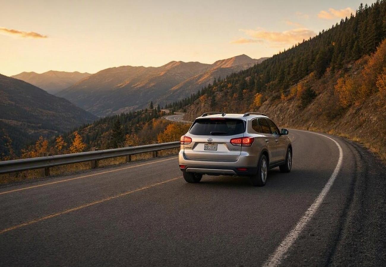
Image generated by AI
With 58 mountain peaks rising above 14,000 feet ("fourteeners"), deep glacial canyons, and historic Victorian mining hamlets, Colorado offers some of the most dramatic driving topography in North America. Navigating these soaring alpine landscapes requires moving beyond standard interstate corridors to discover the state's 26 federally and state-designated Scenic and Historic Byways.
On traveler communities like r/Colorado, r/roadtrip, and r/Denver, experienced mountain motorists consistently highlight routes that trade high-speed congestion for dramatic mountain passes, sweeping aspen groves, and pristine wilderness. Here are the 10 best Colorado scenic road trips Reddit travelers recommend in 2026, paired with essential high-altitude driving guidance.
1. The San Juan Skyway & Million Dollar Highway Loop
Commonly voted the most majestic road trip in North America, the 236-mile San Juan Skyway forms a complete loop through southwestern Colorado’s rugged San Juan Mountains.
Connecting Durango, Silverton, Ouray, and Telluride, the circuit features the world-famous Million Dollar Highway (US Route 550). This 25-mile stretch between Ouray and Silverton is carved straight into sheer canyon cliffs, climbing over 11,018-foot Red Mountain Pass without guardrails. The loop continues past the box canyon and bridal veil falls of Telluride, over Lizard Head Pass, and down through Dolores.
Reddit drivers emphasize taking this route clockwise (Durango to Ouray to Silverton) if you are wary of heights, or counter-clockwise if you want the sheer cliff drop-offs directly on your side. Budget at least 3 to 4 days to explore historic narrow-gauge railways, natural hot springs in Ouray, and Telluride’s mountain gondola.
2. Continental Divide High Rockies Loop: Trail Ridge Road to Steamboat
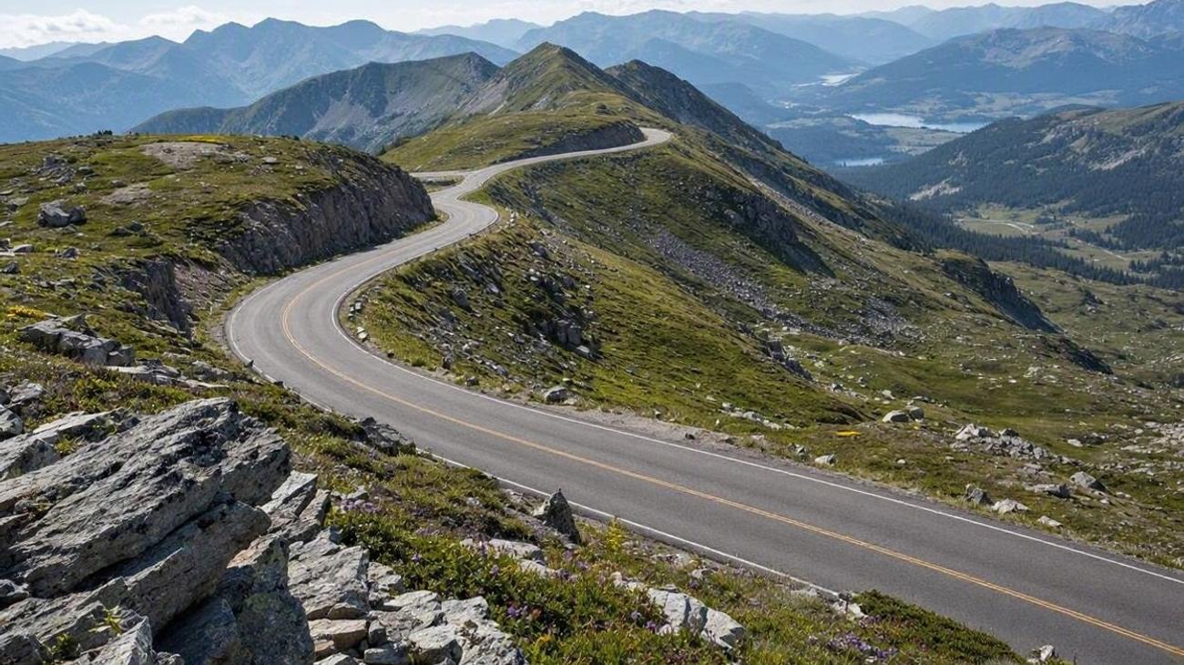 Image generated by AI
Linking Rocky Mountain National Park with northern Colorado's ski valleys, this alpine loop crosses the Continental Divide twice.
Starting from Denver, enter Rocky Mountain National Park from Estes Park and ascend Trail Ridge Road (US Route 34). Reaching a peak elevation of 12,183 feet, it is the highest continuous paved highway in the United States, offering miles of driving above the alpine treeline. Descend into Grand Lake, follow US 40 over Rabbit Ears Pass into Steamboat Springs, and return through the historic mining hub of Leadville and Loveland Pass.
Redditors note that Trail Ridge Road requires vehicle timed-entry reservations from May through October via Recreation.gov and typically closes for winter between late October and Memorial Day weekend.
3. The West Elk Loop Scenic Byway
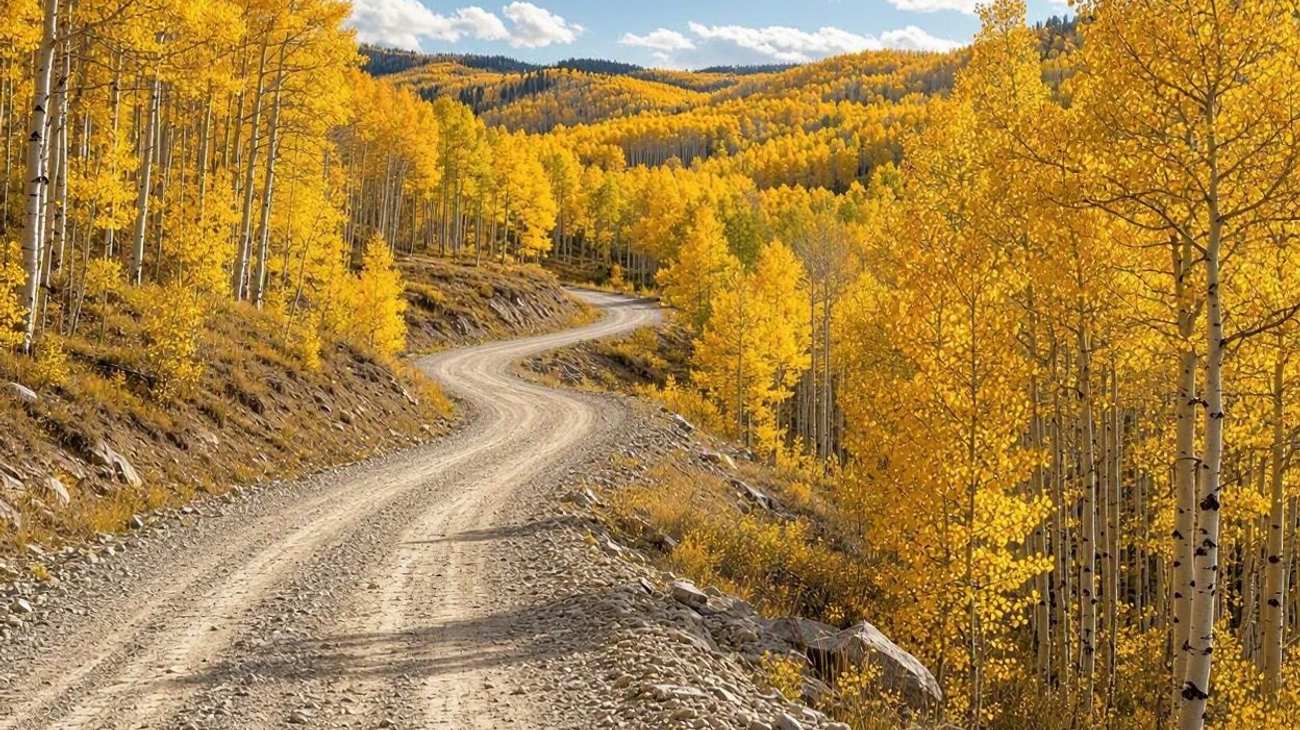 Image generated by AI
Tracing 205 miles around the West Elk Wilderness, this loop connects Carbondale, Paonia, Crested Butte, and Gunnison, showcasing the dramatic transition from fertile orchards to alpine peaks.
Beginning in Carbondale, follow the Crystal River past the historic coal town of Redstone and climb McClure Pass into the North Fork Valley, famed for organic peach orchards and boutique wineries in Paonia. Trace the dizzying 2,000-foot vertical painted walls of Black Canyon of the Gunnison National Park, and climb over Kebler Pass (gravel, suitable for sedans) through one of the largest contiguous aspen groves on Earth into Crested Butte.
Community members on r/Colorado advise timing this trip for late September, when Kebler Pass transforms into an uninterrupted golden sea of autumn foliage.
4. Top of the Rockies Byway & Independence Pass
Centering on the highest elevations in Colorado, this scenic byway circles the towering Collegiate Peaks and Mount Elbert, the highest summit in the Rocky Mountains at 14,440 feet.
Starting in the historic mining capital of Leadville (America's highest incorporated city at 10,152 feet), the route follows Colorado State Highway 82 past the turquoise waters of Twin Lakes. Ascend the hair-raising curves of Independence Pass at 12,095 feet before descending into the glamorous cultural haven of Aspen. Return east via Buena Vista along the Arkansas River, internationally famous for whitewater rafting.
Reddit contributors warn that Independence Pass strictly prohibits vehicles over 35 feet in length due to narrow single-lane choke points and sheer cliff faces.
5. Peak to Peak Scenic Byway & Front Range Foothills
Colorado’s oldest designated scenic byway, established in 1918, the 55-mile Peak to Peak Byway (State Highways 7, 72, and 119) runs parallel to the Front Range just an hour west of Denver and Boulder.
Connecting Estes Park with Central City and Black Hawk, the road navigates rolling mountain valleys beneath the towering granite face of Longs Peak. Must-visit stops include the historic Stanley Hotel in Estes Park, the quirky hippie mountain enclave of Nederland, and the subalpine trails of Golden Gate Canyon State Park.
Redditors praise the Peak to Peak as the best easy weekend day-trip from Denver, offering spectacular autumn colors and abundant wildlife without grueling multi-day drives.
6. The Highway of Legends Scenic Byway & Spanish Peaks
Showcasing the folklore and striking geology of southern Colorado, this 82-mile byway (State Route 12) loops around the volcanic summits of the East and West Spanish Peaks.
Beginning in Walsenburg, the road winds through the historic mining hamlets of La Veta and Cuchara, climbing over 9,995-foot Cuchara Pass. The route is famous for its "radial dikes"—gigantic vertical walls of hardened volcanic rock radiating outward from the Spanish Peaks like ancient fortress walls, prominent at the Stonewall formation. Conclude in the historic border city of Trinidad on the Santa Fe Trail.
Community contributors on r/roadtrip celebrate this route for quiet, uncrowded roads and fascinating tales of Native American legends, outlaw hideouts, and labor history.
7. The Great Sand Dunes & Silver Thread Scenic Byway
Connecting the high-desert basin of the San Luis Valley with the rugged San Juan Mountains, this route links unexpected ecological wonders.
Start at Great Sand Dunes National Park and Preserve, where the tallest sand dunes in North America (rising up to 750 feet) stand directly against the snow-capped Sangre de Cristo Mountains. From Alamosa, drive west along the Silver Thread Scenic Byway (State Highway 149) through South Fork and into the preserved 1890s silver mining boomtown of Creede. Climb over Slumgullion Pass, view the historic earthflow at Lake San Cristobal, and descend into Lake City.
Reddit travelers recommend packing sandboards to glide down the dunes in the morning, followed by hearty steaks and craft beer in Creede.
8. Flat Tops Trail Scenic Byway & White River Wilderness
For travelers craving true frontier wilderness without asphalt crowds, the 82-mile Flat Tops Trail Scenic Byway connects Meeker and Yampa across northwest Colorado.
The largely well-maintained gravel road crosses Ripple Creek Pass (10,343 feet) through the White River National Forest, providing sweeping views of the massive basalt cliffs of the Flat Tops Wilderness. Detour to Trappers Lake, the birthplace of the American wilderness preservation concept, where pristine alpine waters reflect towering jagged ridges.
Reddit drivers note that this route is best driven between July and early October using standard vehicles; always ensure you have a full tank of fuel before leaving Meeker or Yampa, as there are zero roadside services.
9. Colorado River Headwaters to Dinosaur Diamond Byway
Traversing western Colorado's red sandstone canyons, this itinerary traces the mighty Colorado River from alpine headwaters to high-desert mesas.
Begin at Grand Junction and drive the spectacular rim-hugging road of Colorado National Monument, gazing down 1,000 feet into red monolith canyons. Head northwest through the dinosaur fossil quarries of Fruita and Rangely, connecting with the Colorado section of the Dinosaur Diamond Scenic Byway toward Dinosaur National Monument, where hundreds of Jurassic dinosaur bones are embedded in an exposed rock quarry wall.
Travelers on Reddit recommend visiting in spring or autumn when daytime temperatures in western Colorado’s desert canyons are mild and comfortable.
10. The 7-Day Ultimate Colorado Rockies Grand Circuit
For road trippers with a week to experience the absolute finest scenery Colorado has to offer, Reddit contributors recommend this comprehensive circuit.
- Day 1: Arrive in Denver, drive to Estes Park, explore the Stanley Hotel and Rocky Mountain National Park.
- Day 2: Cross Trail Ridge Road above the treeline; drive through Grand Lake and Glenwood Canyon on I-70 to Glenwood Springs; soak in Glenwood Hot Springs.
- Day 3: Drive south through Redstone and over McClure Pass to Black Canyon of the Gunnison National Park; overnight in Montrose or Ridgway.
- Day 4: Drive the Million Dollar Highway from Ouray to Silverton; explore Victorian saloons; continue to Durango.
- Day 5: Drive west to Telluride; take the free mountain gondola to Mountain Village; hike Bear Creek Trail.
- Day 6: Drive east through Salida and Buena Vista along the Arkansas River beneath the Collegiate Peaks.
- Day 7: Return to Denver via US 285, crossing Kenosha Pass; evening departure.
Redditors emphasize that this itinerary covers the state's most dramatic mountain ranges while keeping daily driving legs between 3 to 4 hours.
Colorado Scenic Road Trips: Route Comparison Matrix
| Route Name | Distance | Suggested Duration | Best Travel Window | Primary Highlights | Reddit Insider Advice |
|---|---|---|---|---|---|
| San Juan Skyway | 236 miles | 3–4 days | July to October | Million Dollar Hwy, Telluride, Ouray | Downshift on steep grades; book Ouray hot springs ahead. |
| Continental Divide Loop | 280 miles | 2–3 days | July to Sept | Trail Ridge Road, Steamboat, Grand Lake | Trail Ridge sits above 12,000 ft; timed permits required. |
| West Elk Loop Byway | 205 miles | 2–3 days | Sept to Oct | Paonia orchards, Black Canyon, Kebler Pass | World's largest aspen grove on Kebler Pass; peak colors in late Sept. |
| Top of the Rockies | 115 miles | 2 days | June to Sept | Independence Pass, Leadville, Twin Lakes | Vehicles over 35 feet prohibited on Independence Pass. |
| Peak to Peak Byway | 55 miles | 1 day | Year-round (best fall) | Longs Peak views, Nederland, Golden Gate Canyon | Best quick day-trip from Denver; great fall foliage drive. |
| Highway of Legends | 82 miles | 1–2 days | May to October | Spanish Peaks, Stonewall volcanic dikes, Cuchara | Zero tourist crowds; rich mining folklore and geologic dikes. |
| Sand Dunes & Silver Thread | 170 miles | 2–3 days | May to October | Great Sand Dunes, Creede silver mines, Lake City | Rent sandboards in Alamosa; explore historic Creede Repertory. |
| Flat Tops Wilderness Byway | 82 miles | 1–2 days | July to Sept | Trappers Lake, Ripple Creek Pass, basalt cliffs | Unpaved gravel suitable for sedans; top off fuel in Meeker. |
| Colorado River & Dinosaur | 190 miles | 2–3 days | April–May, Sept–Oct | Colorado National Monument, fossil quarries | Spring and autumn offer comfortable canyon hiking weather. |
| 7-Day Grand Rockies Circuit | 780 miles | 7 days | July to early Oct | Trail Ridge, Million Dollar Hwy, Telluride, Black Canyon | Balances high alpine passes, hot springs, and historic towns. |
Essential Reddit Wisdom for Colorado High-Altitude Driving in 2026
The r/Colorado community highlights critical technical advice for motorists navigating mountain highways. First, master engine braking. On long, steep downhill passes like US 550 or Loveland Pass, shift your automatic transmission into low gear ("L", "2", or manual mode). Relying solely on your brake pedal causes brake pads to overheat, glaze over, and fail catastrophically.
Second, respect high-altitude acclimation. Several of these highways ascend above 11,000 and 12,000 feet, where the air contains substantially less oxygen. Drink plenty of water, limit alcohol consumption during your first 48 hours, and allow time to acclimatize in Denver or foothill towns before strenuous hiking.
Finally, check COtrip.org and download the official CDOT mobile app. Sudden high-altitude summer thunderstorms, rockslides, and seasonal paving projects frequently trigger temporary closures on two-lane mountain passes.
Frequently Asked Questions About Colorado Scenic Road Trips
What is the most scenic drive in Colorado?
The Million Dollar Highway section of the San Juan Skyway (US Route 550 between Ouray and Silverton) and Trail Ridge Road in Rocky Mountain National Park are universally cited by Reddit travelers as Colorado's two most spectacular scenic drives.
When do Colorado mountain passes open for the summer?
High alpine passes like Trail Ridge Road, Independence Pass, and Kebler Pass typically open between late May (Memorial Day weekend) and mid-June, depending on winter snowpack, and close with the first heavy winter snowstorms in late October.
What is the best month for fall colors on Colorado road trips?
Mid-September through early October offers peak aspen foliage. Northern passes (Steamboat, Trail Ridge) peak around the third week of September, while southern areas (San Juan Skyway, Kebler Pass) peak during the last week of September and first week of October.
Do I need an SUV or 4WD vehicle for these Colorado scenic road trips?
All routes listed above, including the unpaved sections of Kebler Pass and the Flat Tops Byway, are regularly maintained and easily passable by standard 2WD passenger sedans during summer and early autumn. High-clearance 4WD vehicles are only needed if you venture onto rugged off-road mining passes like Imogene Pass or Black Bear Pass.
Related Travel Guides
Disclaimer
This article is for informational and educational purposes only. It does not constitute legal, financial, or professional advice. While we strive to provide accurate and up-to-date information, travel policies, regulations, and conditions change rapidly. Always verify information with official sources before making travel decisions. Nomad Lawyer makes no representations about the accuracy, reliability, completeness, or suitability of the information provided. Readers should consult qualified professionals for advice specific to their circumstances. The views expressed in this article are those of the author and do not necessarily reflect the views of Nomad Lawyer.
Raushan Kumar
Founder & Lead Developer
Full-stack developer with 11+ years of experience and a passionate traveller. Raushan built Nomad Lawyer from the ground up with a vision to create the best travel and law experience on the web.
Learn more about our team →