
10 Best Alaska to Canada Road Trip Routes Reddit Travelers Recommend in 2026
Planning the ultimate subarctic overland journey between Alaska and Canada in 2026? Reddit travelers on r/alaska, r/Yukon, and r/roadtrip break down the 10 best routes, gravel passes, fuel planning, and border logistics.

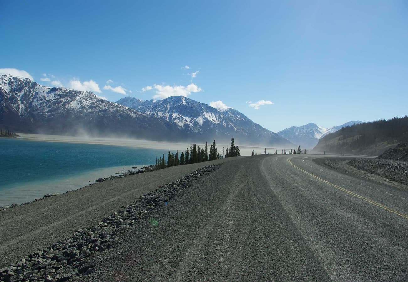
The glacial expanse of Kluane Lake framed by the St. Elias Mountains along the Alaska Highway
Connecting the vast wilderness frontiers of Alaska, the Yukon Territory, and Northern British Columbia, an overland expedition between Alaska and Canada represents the ultimate North American frontier road trip. Driving these northern corridors means navigating thousands of miles through untouched boreal forests, crossing permafrost mountain summits, watching grizzlies and wood bison forage alongside the pavement, and traversing some of the most remote international border crossings on Earth.
Drawing on real-world route conditions, gravel reports, and overland advice from active travelers across r/alaska, r/Yukon, r/overlanding, and r/roadtrip, here is the definitive guide to the 10 best Alaska to Canada road trip routes for 2026.
The glacial expanse of Kluane Lake framed by the St. Elias Mountains along the Alaska Highway in the Yukon.
1. The Classic Alaska Highway / ALCAN (Dawson Creek, BC to Delta Junction, AK)
Built during World War II across 2,232 kilometers (1,387 miles), the Alaska Highway (historically the ALCAN) is the foundational artery connecting mainland North America with the 49th US state. Starting at the iconic "Mile 0" monument in Dawson Creek, British Columbia, the paved highway cuts through the Northern Rockies, traverses the Yukon Territory, and crosses into Alaska near Tok.
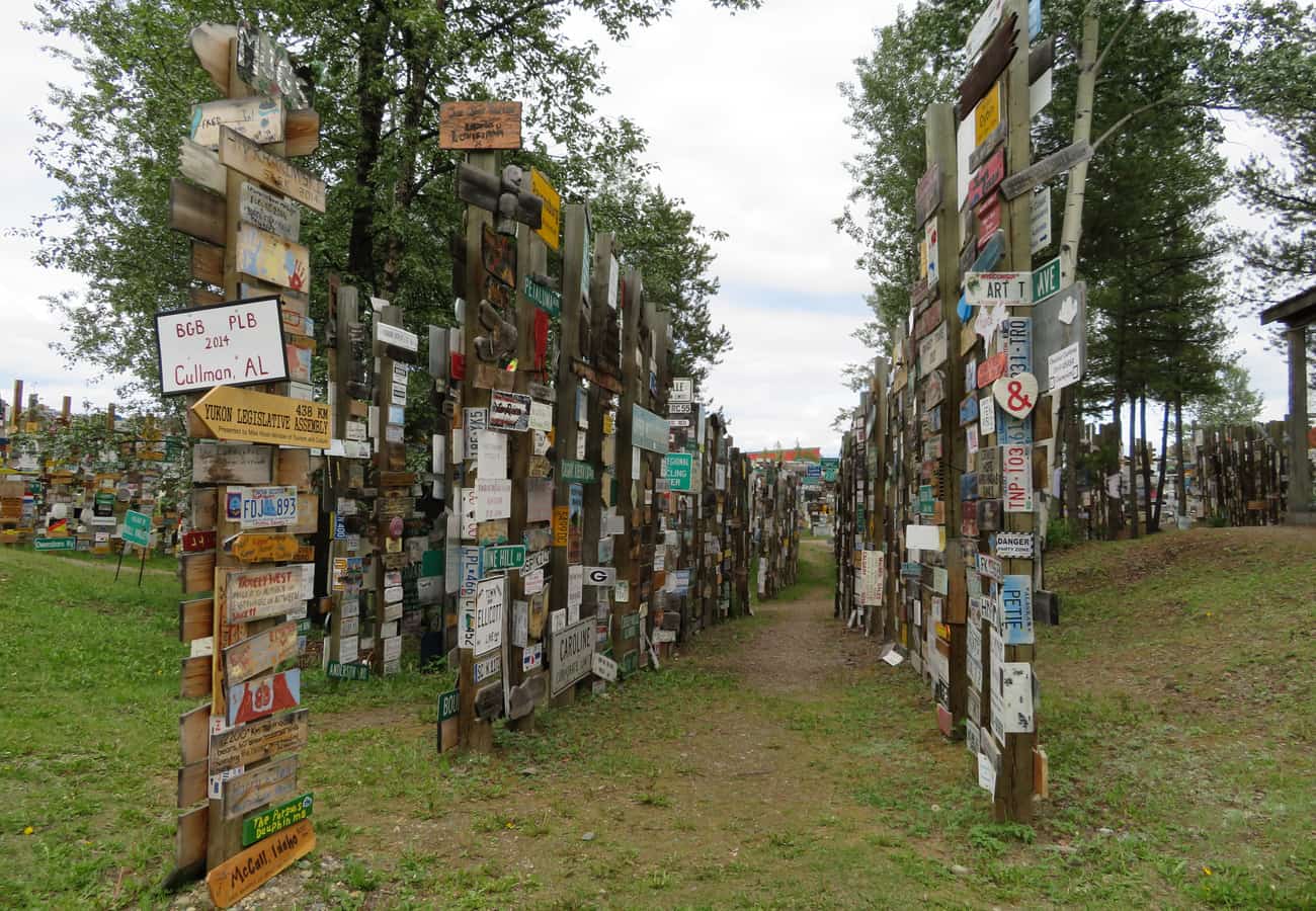 The historic Signpost Forest at Watson Lake along the Alaska Highway in the Yukon, home to over 100,000 international license plates and signs.
Reddit road-trippers emphasize that while the ALCAN is fully paved today, permafrost "frost heaves" require vigilant driving and realistic speed moderation. Must-stop highlights include soaking in the natural thermal mineral waters of Liard River Hot Springs (a favorite sanctuary for wild wood bison herds) and wandering through the famous Signpost Forest at Watson Lake, which now holds over 100,000 visitor-contributed signs from around the world.
2. The Klondike Highway & White Pass Gold Rush Corridor (Skagway to Whitehorse & Dawson City)
Paralleling the grueling 1898 Chilkoot Gold Rush trail, the Klondike Highway (Yukon Highway 2 / Alaska Route 98) links the cruise port of Skagway, Alaska, with Whitehorse and the historic gold-mining town of Dawson City. The 177-kilometer South Klondike section climbs from sea level in Skagway over the fog-draped White Pass Summit (1,003 meters / 3,290 feet) into subalpine moonscapes dotted with turquoise alpine tarns.
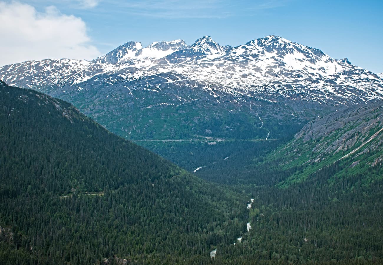 Glacier-carved granite peaks along the South Klondike Highway climbing out of Skagway, Alaska.
Reddit travelers celebrate the South Klondike as one of the most visually dramatic drives on the continent. Stop at the Carcross Desert (the world's smallest desert) and emerald-colored Emerald Lake before continuing north to Dawson City, where wooden boardwalks, saloon doors, and the eccentric "Sourtoe Cocktail" at the Downtown Hotel preserve 19th-century gold rush fever.
3. The Top of the World Highway & Boundary Ridge Route (Dawson City to Tok via Poker Creek)
Connecting Dawson City, Yukon, with the Taylor Highway in Alaska, the 127-kilometer (79-mile) Top of the World Highway is a legendary ridge-top drive that literally travels along mountain crests high above the tree line. At Poker Creek / Little Gold Creek, drivers pass through the northernmost international land border crossing in North America.
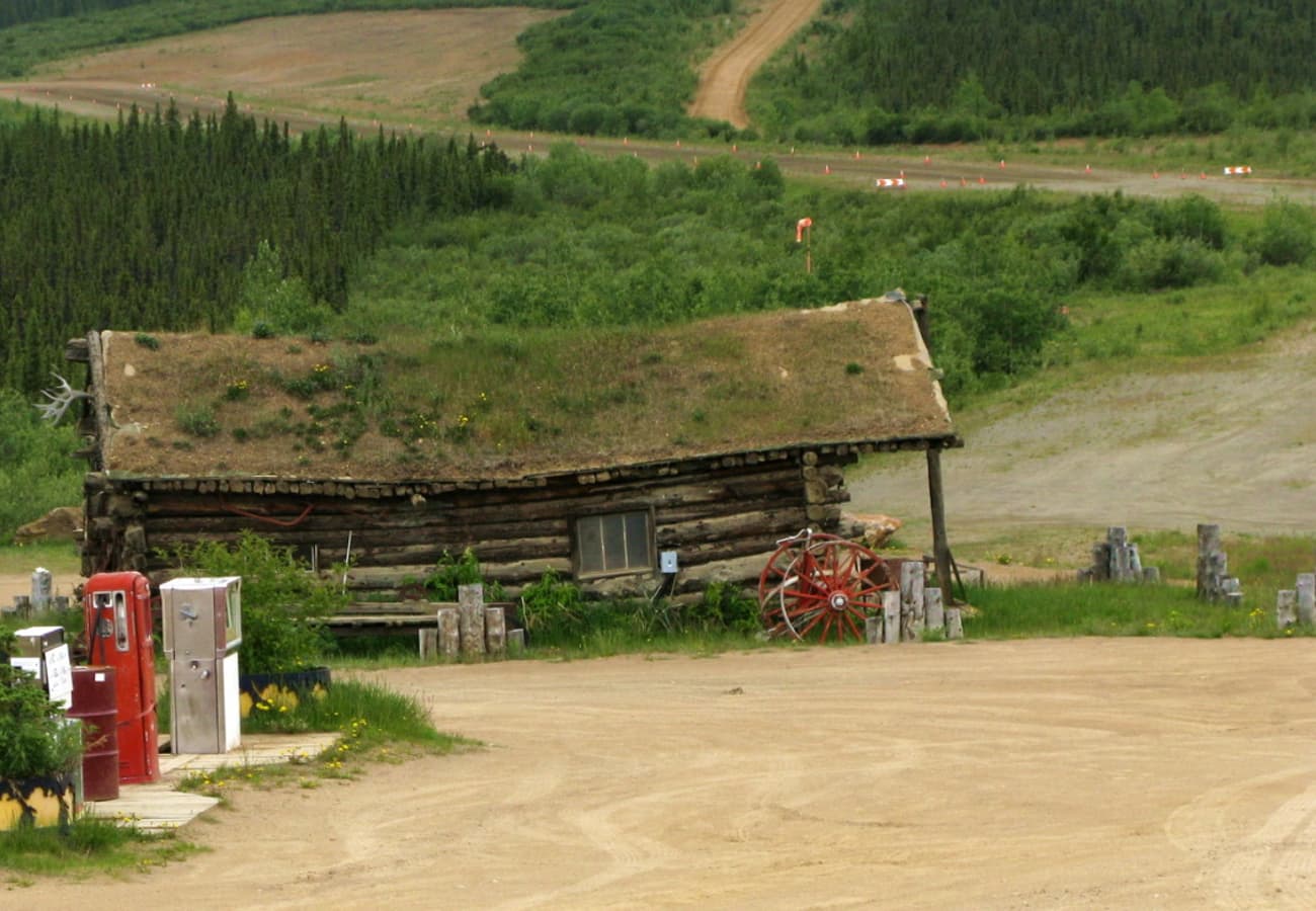 A remote outpost along the rugged Top of the World Highway traversing alpine tundra between Yukon and Alaska.
Reddit overland enthusiasts caution that the Top of the World Highway is mostly unpaved chip-seal and packed gravel, meaning heavy rain can turn surfaces slippery. The route operates only during summer (typically late May to mid-September) and the Poker Creek border post maintains strict seasonal daylight operating hours. Before embarking, cross the free George Black Ferry across the Yukon River at Dawson City.
4. The Haines Highway & Chilkat Bald Eagle Preserve (Haines, AK to Haines Junction, YT)
Winding 244 kilometers (152 miles) between coastal Haines, Alaska, and the Alaska Highway at Haines Junction, Yukon, the Haines Highway (Yukon Highway 3 / Alaska Route 7) traverses the dramatic Chilkat River Valley before ascending the sweeping tundra plateau of Chilkat Pass (1,070 meters / 3,510 feet).
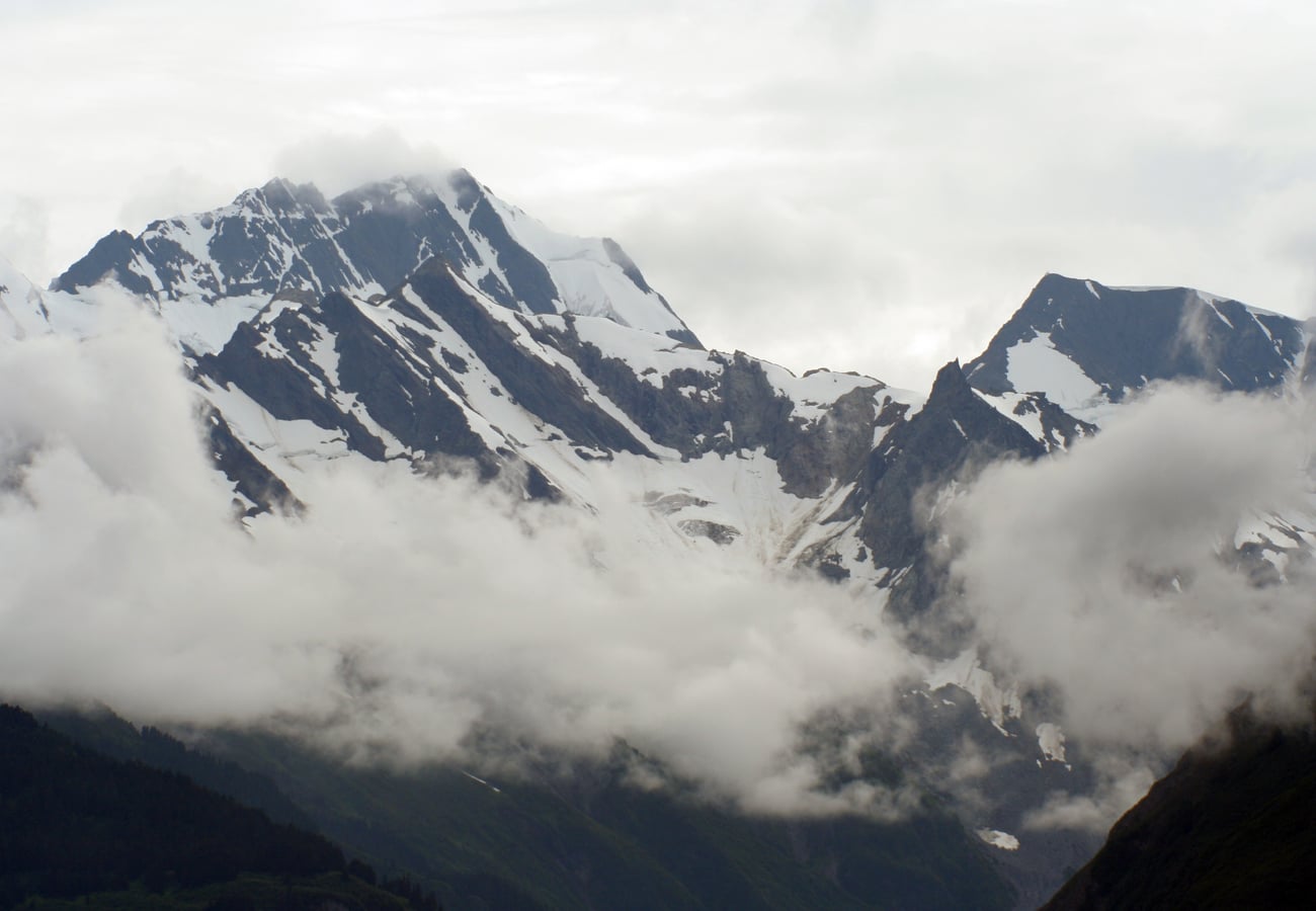 The dramatic coastal fjord and mountain vistas surrounding Haines, Alaska along the Haines Highway.
On r/alaska, frequent drivers widely regard the Haines Highway as more scenic than the ALCAN itself. Driving alongside the Chilkat Bald Eagle Preserve, motorists often spot hundreds of bald eagles nesting in river cottonwoods. The wide, gentle curves and open alpine vistas over the pass offer unobstructed views of glacier-capped summits flanking Tatshenshini-Alsek Provincial Park.
5. The Stewart-Cassiar Highway Wilderness Corridor (Highway 37)
For travelers driving between Washington/BC and Alaska who wish to avoid backtracking along the eastern Alaska Highway, British Columbia Highway 37 (the Stewart-Cassiar) offers a wild, remote 724-kilometer (450-mile) bypass through dense cedar-hemlock forests, rugged coastal fjords, and alpine valleys.
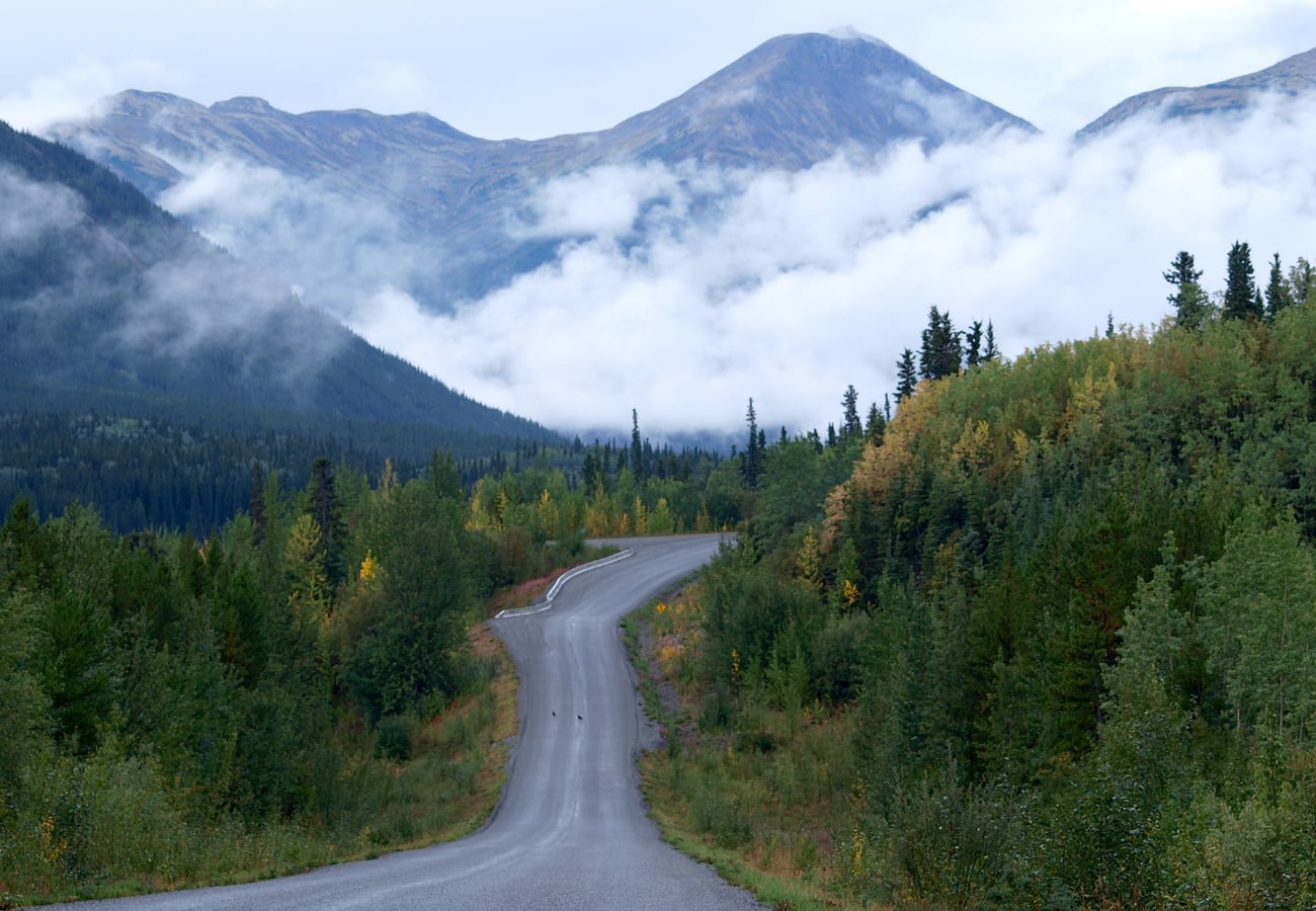 The uncrowded, pristine mountain wilderness along the Stewart-Cassiar Highway in northern British Columbia.
Reddit road-trippers emphasize taking the 65-kilometer side spur along Highway 37A to the twin border towns of Stewart, BC, and Hyder, Alaska. The road cuts through dramatic mountain gorges where Bear Glacier spills straight down to the roadside lake, and the Fish Creek Wildlife Observation Site in Hyder offers front-row wooden boardwalk views of coastal brown bears catching spawning salmon.
6. The Dempster Highway to the Arctic Circle & Ocean (Yukon to Tuktoyaktuk)
Starting 40 kilometers east of Dawson City and heading north across 736 kilometers (457 miles) of unpaved crushed rock and shale, the Dempster Highway (Yukon Highway 5 / NWT Highway 8) crosses the Arctic Circle and Mackenzie River delta to Inuvik and the Arctic Ocean at Tuktoyaktuk.
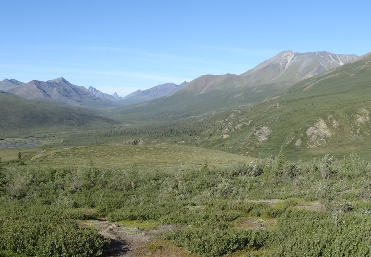 Jagged granite spires and tundra expanses in Tombstone Territorial Park along the Dempster Highway.
Reddit overlanders revere the Dempster as one of the world’s greatest wilderness driving challenges. Tombstone Territorial Park, known as Canada’s Patagonia, features jagged granite spires rising from golden tundra. Crossing the Arctic Circle at kilometer 405 is an unforgettable milestone. Reddit travelers stress carrying two mounted full-size spare tires, an emergency satellite communicator, and ample windshield chip repair supplies.
7. The Glenn Highway & Matanuska Glacier Scenic Byway (Glennallen to Anchorage)
Connecting Tok and the Canadian border with Anchorage, Alaska Route 1 (the Glenn Highway) cuts through the Chugach and Talkeetna mountain ranges along the turbulent Matanuska River valley.
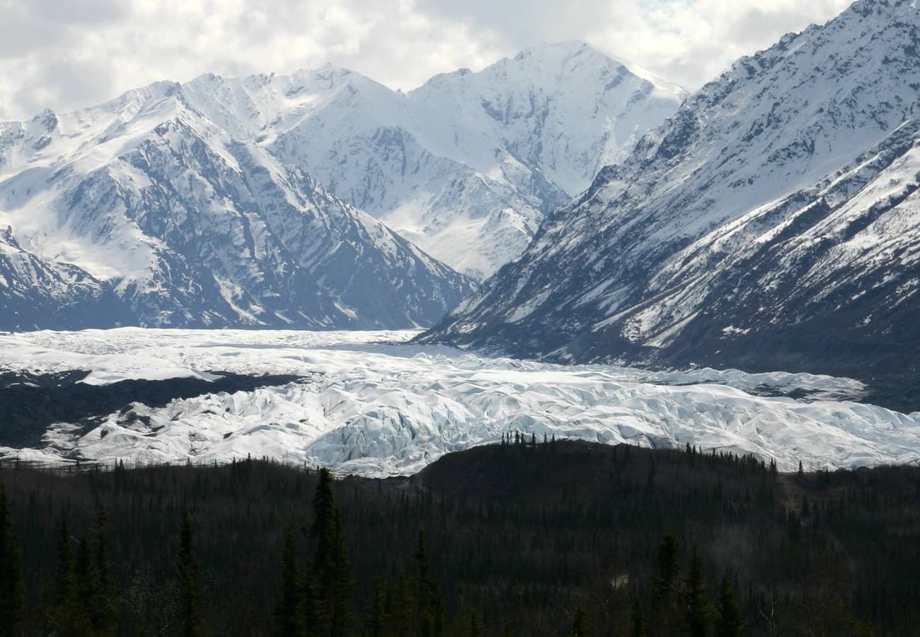 The massive white ice wall of Matanuska Glacier viewed from the scenic turnouts of the Glenn Highway.
Reddit drivers praise the western half of the Glenn Highway for its jaw-dropping approach to Matanuska Glacier—a 27-mile-long river of blue and white ice accessible directly from the roadside. The high elevation at Eureka Summit (3,322 feet) offers panoramic views over alpine tundra where caribou herds frequently migrate in autumn.
8. The Richardson Highway & Keystone Canyon Waterfalls (Valdez to Fairbanks)
Alaska’s oldest major road, the 583-kilometer (362-mile) Richardson Highway (Alaska Route 4) connects the ice-free Pacific port of Valdez with Fairbanks in the interior, crossing the jagged Chugach Mountains via Thompson Pass (2,678 feet).
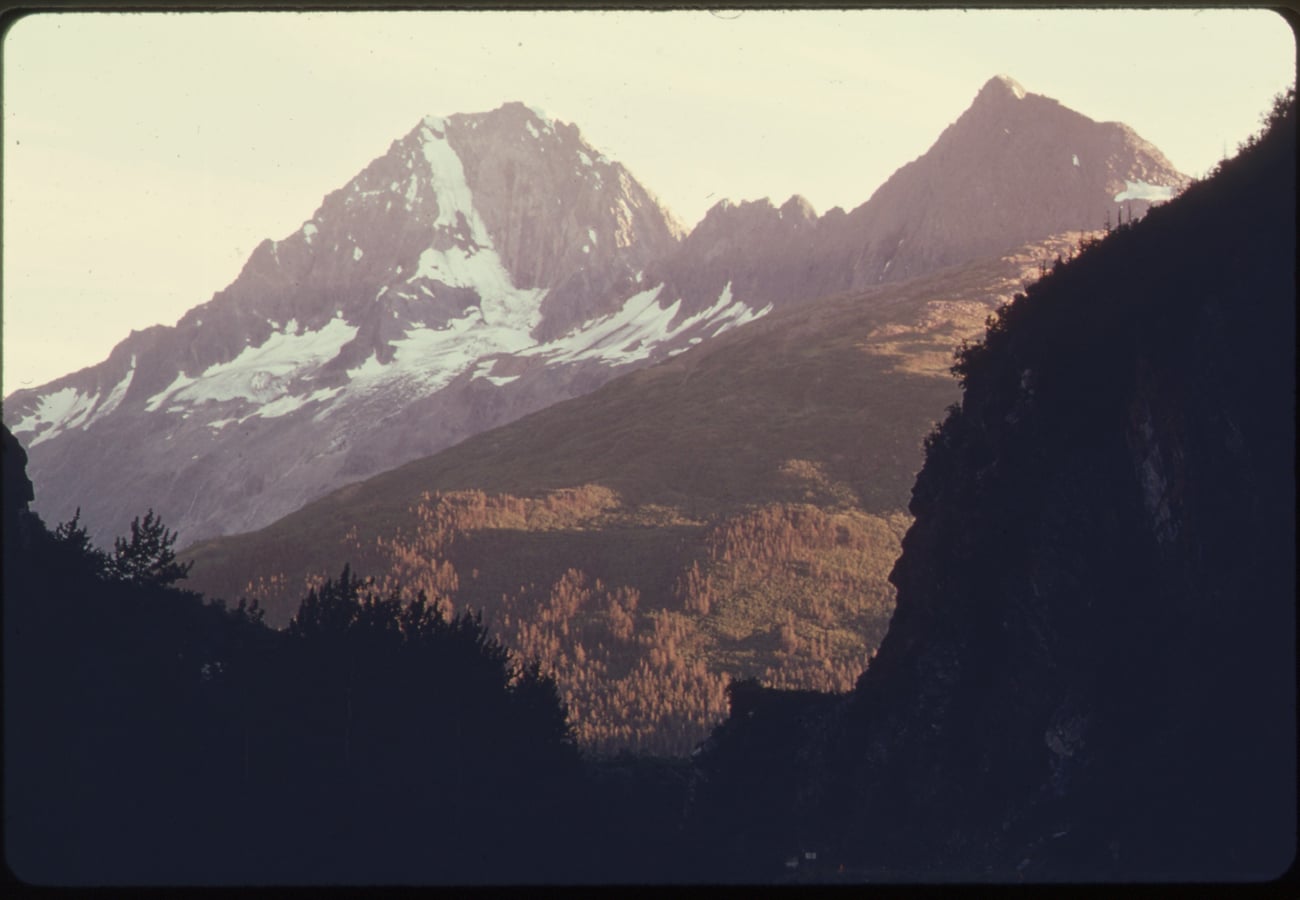 Sheer canyon cliffs and historic highway corridor winding through Keystone Canyon near Valdez, Alaska.
Reddit travelers consider the approach to Valdez through Keystone Canyon a masterclass in dramatic road engineering. Towering waterfalls like Bridal Veil Falls and Horsetail Falls plunge hundreds of feet straight down vertical rock walls right next to the roadway. Stop at Worthington Glacier State Recreation Site to walk within touching distance of terminal glacial moraines.
9. Kluane National Park & St. Elias Mountain Highway Corridor
Paralleling the southwestern Yukon section of the Alaska Highway between Haines Junction and Beaver Creek, this 200-kilometer drive skirts Kluane National Park and Reserve—a UNESCO World Heritage wilderness home to Canada's highest peak (Mount Logan, 5,959 meters) and the planet's largest non-polar icefield.
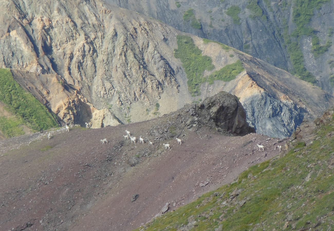 Native Dall sheep grazing high on the rocky slopes of Sheep Mountain overlooking Kluane Lake in the Yukon.
Reddit nature enthusiasts recommend stopping at the Thechàl Dhâl (Sheep Mountain) Visitor Centre to view white Dall sheep with high-powered spotting scopes. The highway hugs the shoreline of turquoise Kluane Lake, where fierce glacial katabatic winds generate dramatic whitecap rollers across pristine northern waters.
10. George Parks Highway & Denali Alaska Range Viewpoints (Anchorage to Fairbanks)
Stretching 520 kilometers (323 miles), the George Parks Highway (Alaska Route 3) is the primary transport spine of Southcentral and Interior Alaska, providing road access to Denali National Park and Preserve.
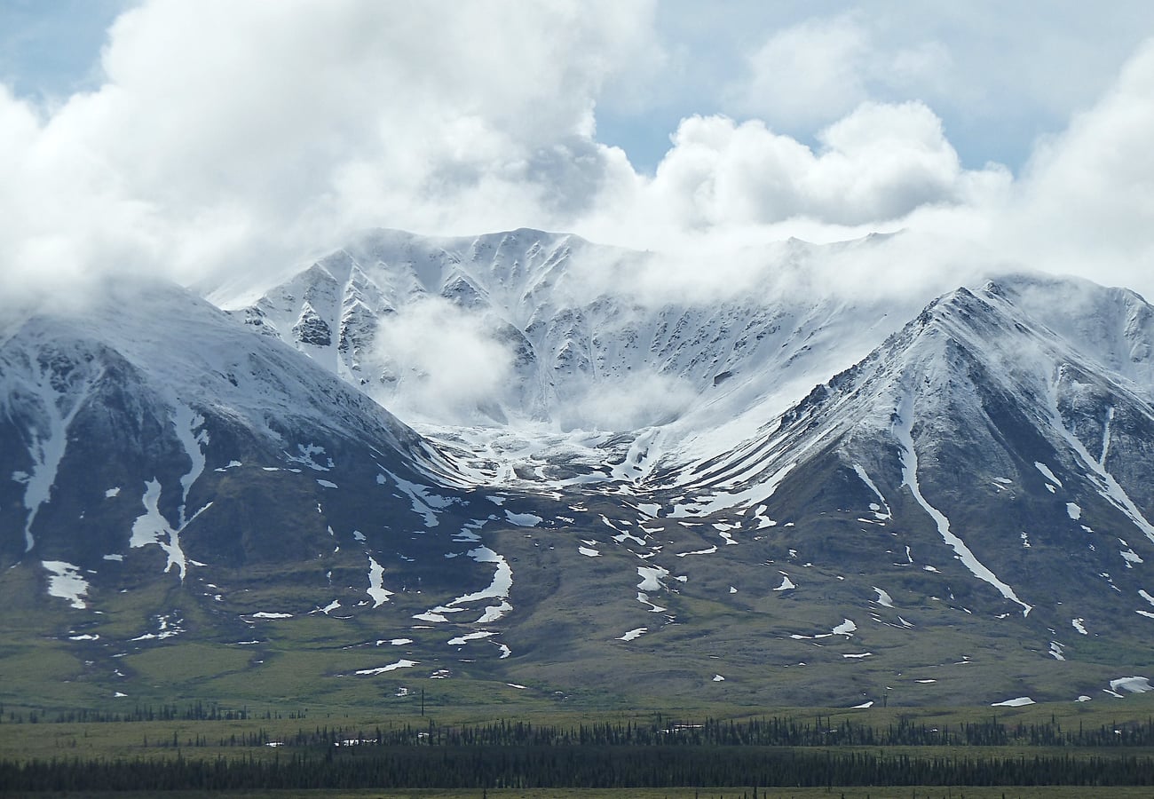 The snow-draped Alaska Range dominating the horizon along the George Parks Highway.
Reddit road-trippers point to the Denali View South and Denali View North rest areas as exceptional viewpoints for photographing Denali (20,310 feet) on clear days. Take time to stop in the eccentric artistic town of Talkeetna for local craft beer and sourdough breakfast before continuing north to Fairbanks, where winter travelers watch the aurora borealis dance across the subarctic sky.
Alaska-Canada Route Comparison: Distance, Surface & Logistics
| Route Name | Route Endpoints | Total Distance | Road Surface | Recommended Time | Standout Reddit Tip |
|---|---|---|---|---|---|
| Alaska Highway (ALCAN) | Dawson Creek, BC to Delta Junction, AK | 1,387 mi / 2,232 km | Fully Paved (Frost heaves) | 5–7 Days | Soak in Liard Hot Springs; watch for wood bison herds |
| South Klondike Highway | Skagway, AK to Whitehorse, YT | 110 mi / 177 km | Fully Paved | 1 Day | Stop at Carcross Desert & Emerald Lake; watch pass fog |
| Top of the World Hwy | Dawson City, YT to Tok, AK | 187 mi / 301 km | Gravel & Chip-Seal | 1–2 Days | Check Poker Creek border hours; bring spare tire |
| Haines Highway | Haines, AK to Haines Junction, YT | 152 mi / 244 km | Fully Paved | 1 Day | Eagle watching along Chilkat River; pristine pass views |
| Stewart-Cassiar (Hwy 37) | Kitwanga, BC to Upper Liard, YT | 450 mi / 724 km | Mostly Paved | 2–3 Days | Detour to Stewart/Hyder to view Bear Glacier & bears |
| Dempster Highway | Dawson City, YT to Tuktoyaktuk, NWT | 457 mi / 736 km | Crushed Gravel / Shale | 3–5 Days | Carry two mounted spare tires; book Arctic Circle tours |
| Glenn Highway | Glennallen, AK to Anchorage, AK | 187 mi / 301 km | Fully Paved | 1 Day | Photograph Matanuska Glacier from roadside turnouts |
| Richardson Highway | Valdez, AK to Fairbanks, AK | 362 mi / 583 km | Fully Paved | 2 Days | Drive through Keystone Canyon; walk to Worthington Glacier |
| Kluane Lake Highway | Haines Junction, YT to Beaver Creek, YT | 180 mi / 290 km | Paved with frost heaves | 1 Day | Spot Dall sheep on Sheep Mountain; take a glacier flight |
| Parks Highway | Anchorage, AK to Fairbanks, AK | 323 mi / 520 km | Fully Paved | 1–2 Days | Stop in Talkeetna; photograph Denali from south lookout |
Crucial Alaska-Canada Overland Driving Advice for 2026
- Vehicle & Tire Readiness: Subarctic highways subject tires to sharp shale rock and jagged pothole edges. Ensure all tires have robust all-terrain construction with deep tread. Always carry at least one full-size mounted spare tire, a heavy-duty tire plug kit, a 12-volt air compressor, and a can of starting fluid.
- Fuel Range Management: Distances between operating gas stations can exceed 250 kilometers (155 miles), especially along the Stewart-Cassiar, Dempster, and Top of the World highways. Never pass an open fuel pump without topping off, and consider carrying a certified 5-gallon jerry can of fuel.
- Border Logistics (US & Canada): You will pass through international customs at ports such as Beaver Creek / Alcan, Poker Creek, Skagway, or Haines. Carry a valid passport or NEXUS card. Note that radar detectors are illegal in the Yukon and Northwest Territories and will be confiscated at the border. Also review Canadian firearm restrictions and pet rabies vaccination mandates beforehand.
- Permafrost Frost Heaves: The freeze-thaw cycles of subarctic permafrost warp roadbeds into sudden, sharp dips known as frost heaves. When you spot bright roadside flags or "Bump" signs, slow down immediately to avoid bottoming out or damaging suspension components.
- Wildlife Encounters: Northern highways are major corridors for wood bison, moose, black bears, and grizzly bears. Bison frequently stand in the middle of the pavement at night to absorb residual road warmth. Never honk or crowd bison herds; wait patiently for them to clear the roadway.
Frequently Asked Questions
Can you drive to Alaska without going through Canada?
No. There is no continuous overland highway system connecting the lower 48 US states to Alaska that does not traverse Canadian territory. If you wish to avoid driving through Canada, you can take the Alaska Marine Highway System vehicle ferry from Bellingham, Washington, to ports in Southeast Alaska.
How long does it take to drive from the US border to Alaska?
Driving from the northern US border (e.g., Sweet Grass, Montana, or Blaine, Washington) to the Alaska border typically takes 5 to 7 days of steady 7-to-8-hour driving days covering roughly 2,200 to 2,500 miles.
Do I need a 4x4 or high-clearance truck to drive to Alaska?
For the main Alaska Highway (ALCAN), South Klondike, Glenn, and Parks highways, a standard two-wheel-drive passenger car in good mechanical condition is completely sufficient during the summer season. For gravel routes like the Dempster or Top of the World highways, an AWD or 4WD vehicle with high-clearance all-terrain tires is strongly recommended.
Related Travel Guides
- 10 Best Canadian Rockies Road Trips Reddit Travelers Recommend in 2026
- 10 Best USA-to-Canada Scenic Border Crossings Reddit Travelers Recommend in 2026
- 10 Best Cross-Border Road Trips From the United States to Canada Reddit Travelers Recommend in 2026
- 10 Best Vancouver to Banff Road Trip Routes Reddit Travelers Recommend in 2026
Disclaimer
This article is for informational and educational purposes only. It does not constitute legal, financial, or professional advice. While we strive to provide accurate and up-to-date information, travel policies, regulations, and conditions change rapidly. Always verify information with official sources before making travel decisions. Nomad Lawyer makes no representations about the accuracy, reliability, completeness, or suitability of the information provided. Readers should consult qualified professionals for advice specific to their circumstances. The views expressed in this article are those of the author and do not necessarily reflect the views of Nomad Lawyer.
Raushan Kumar
Founder & Lead Developer
Full-stack developer with 11+ years of experience and a passionate traveller. Raushan built Nomad Lawyer from the ground up with a vision to create the best travel and law experience on the web.
Learn more about our team →