
10 Ultimate Alaska Road Trips Reddit Travelers Recommend in 2026
Planning an unforgettable self-drive adventure across the Last Frontier in 2026? Reddit travelers on r/alaska and r/roadtrip break down the 10 ultimate Alaska road trips, gravel byways, glacier routes, and rental tips.

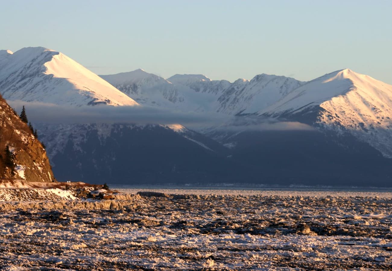
Turnagain Arm's dramatic glacial waters and sheer mountain slopes framed by the Chugach Range along the Seward Highway
With more than 663,000 square miles of untamed subarctic wilderness, Alaska is America's ultimate frontier for vehicular adventure. While less than twenty percent of the state is accessible by road, the highways that do cut through the Last Frontier deliver experiences found nowhere else on the continent: driving alongside glacier-fed fjords where beluga whales breach, ascending high tundra passes above the Arctic Circle, and cruising beneath North America’s tallest mountain peaks.
Drawing from active road-condition reports, local advice, and summer planning tips across r/alaska, r/Anchorage, r/overlanding, and r/roadtrip, here is the definitive guide to the 10 ultimate Alaska road trips for 2026.
Turnagain Arm's dramatic glacial waters and sheer mountain slopes framed by the Chugach Range along the Seward Highway.
1. The Seward Highway & Turnagain Arm (Anchorage to Seward / 127 Miles)
Designated an All-American Road and National Forest Scenic Byway, the 127-mile (204-kilometer) Seward Highway (Alaska Routes 1 and 9) connects Alaska’s largest city with the Pacific gateway of Seward on Resurrection Bay.
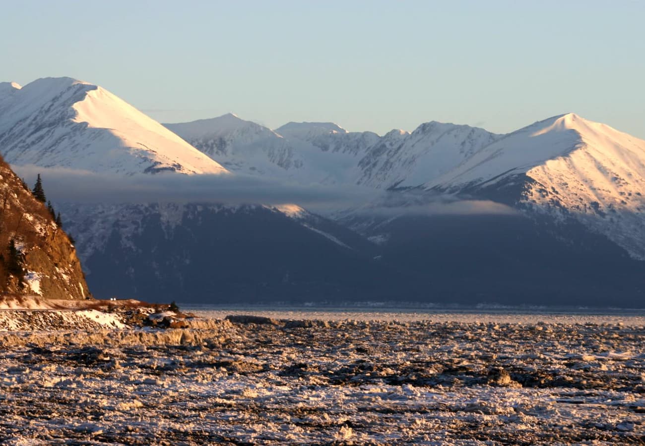 Turnagain Arm curving along the sheer rock faces of the Chugach Mountains.
Reddit travelers consider the first 50 miles along Turnagain Arm to be among the most scenic coastal stretches in the world. Pull over at Beluga Point to spot white beluga whales hunting salmon or Dall sheep perched on highway cliffs. After climbing through Turnagain Pass (988 feet), motorists enter the Kenai Peninsula, passing turquoise alpine lakes and the blue ice wall of Exit Glacier in Kenai Fjords National Park.
2. The George Parks Highway & Denali Corridor (Anchorage to Fairbanks / 323 Miles)
The primary transport spine between Southcentral Alaska and the Interior, the 323-mile (520-kilometer) George Parks Highway (Alaska Route 3) provides the only road access to the entrance of Denali National Park and Preserve.
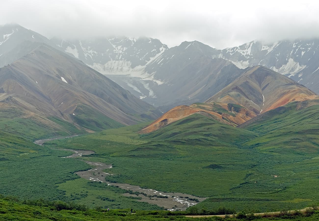 Vast glacial river valleys and distant peaks along the Denali National Park highway corridor.
Reddit road-trippers suggest dedicating 3 to 4 days to this route. Stop at the quirky artistic village of Talkeetna for mountaineering lore and Denali flightseeing tours, photograph Denali (20,310 feet) from the Denali View South rest area, and take the park transit bus into the heart of Denali National Park to spot grizzly bears, caribou, and wolves.
3. The Glenn Highway Scenic Byway & Matanuska Valley (Anchorage to Glennallen / 187 Miles)
Following the path of ancient glacial floods between the Chugach and Talkeetna mountains, the 187-mile (301-kilometer) Glenn Highway (Alaska Route 1) links Anchorage with the interior hub of Glennallen.
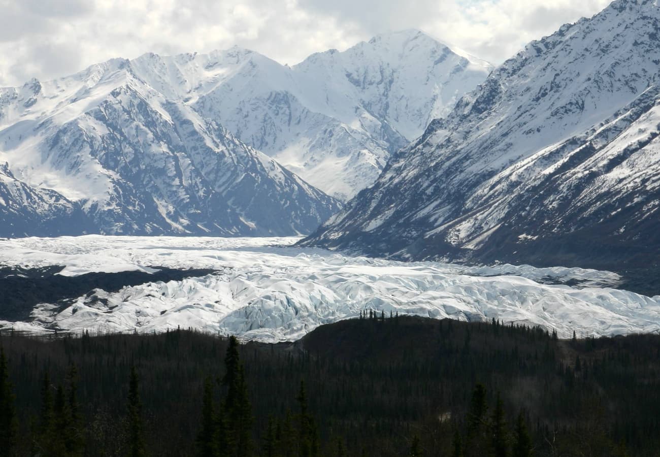 The massive river of ice of Matanuska Glacier seen from scenic turnouts along the Glenn Highway.
On r/alaska, frequent drivers emphasize that the eastern half of the Glenn Highway offers unmatched glacial accessibility. At Mile 102, motorists can gaze down upon the terminus of the 27-mile Matanuska Glacier or pull into Matanuska Glacier State Recreation Site to take guided glacier trekking tours with crampons. The highway's high point at Eureka Summit (3,322 feet) offers 360-degree views across four distinct mountain ranges.
4. The Richardson Highway & Thompson Pass Alpine Gateway (Fairbanks to Valdez / 362 Miles)
Alaska’s first major overland road, the 362-mile (583-kilometer) Richardson Highway (Alaska Route 4) links the subarctic interior at Fairbanks with the ice-free Pacific fjord port of Valdez on Prince William Sound.
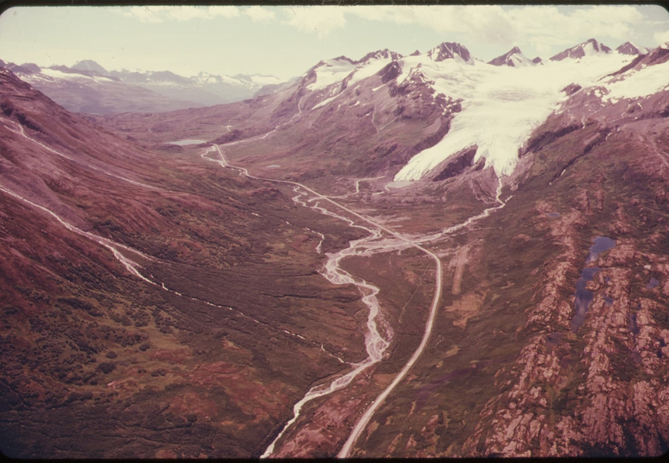 Worthington Glacier cascading toward the high alpine tundra of Thompson Pass.
Reddit travelers hail the approach into Valdez through Keystone Canyon as the most breathtaking canyon drive in Alaska. Bridal Veil and Horsetail Falls plunge hundreds of feet straight down vertical rock walls right next to the roadway. Crossing Thompson Pass (2,678 feet)—which receives an astounding average of 500 inches of snowfall each winter—provides intimate walking access to the blue ice of Worthington Glacier.
5. The Dalton Highway / Haul Road to the Arctic Ocean (Fairbanks to Deadhorse / 414 Miles)
Built in 1974 to support the Trans-Alaska Pipeline, the 414-mile (666-kilometer) Dalton Highway (Alaska Route 11) is one of the most remote and isolated wilderness roads in North America, stretching from north of Fairbanks across the Arctic Circle to Deadhorse / Prudhoe Bay.
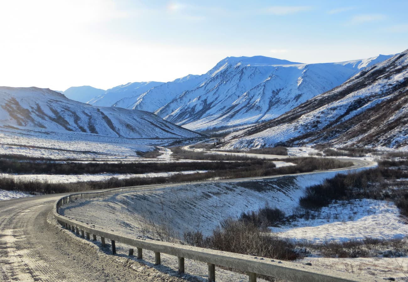 The gravel surface of the Dalton Highway carving through rolling tundra landscapes north of the Arctic Circle.
Reddit overlanders stress that the Dalton is an active industrial haul road dominated by speeding 18-wheelers. It requires absolute self-sufficiency: carry two mounted full-size spare tires, extra fuel, and windshield repair gear. Milestones include crossing the Yukon River Bridge, snapping a photo at the Arctic Circle monument (Mile 115), and crossing the jagged Brooks Range over Atigun Pass (4,739 feet / 1,444 meters).
6. The Taylor Highway & Historic Eagle on the Yukon River (Tetlin Junction to Eagle / 160 Miles)
Branching off the Alaska Highway at Tetlin Junction near Tok, the 160-mile (257-kilometer) Taylor Highway (Alaska Route 5) climbs through subalpine ridges to the Top of the World Highway junction before dropping into the historic gold-rush outpost of Eagle on the banks of the Yukon River.
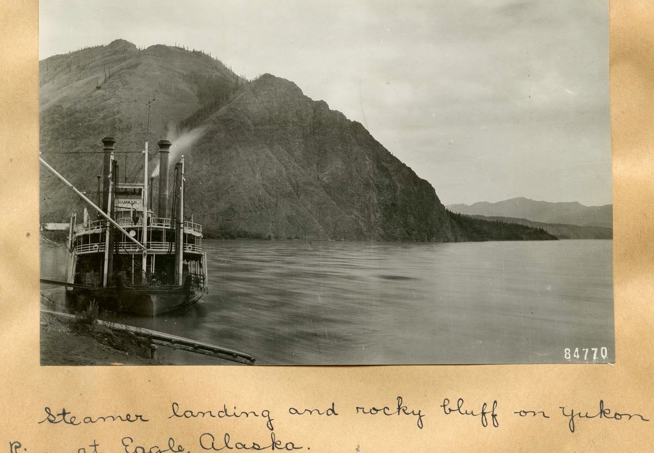 The historic river landing and sheer bluffs along the Yukon River in the remote frontier town of Eagle, Alaska.
Reddit history buffs celebrate Eagle as an authentic 1898 gold-rush preservation site where famed Arctic explorer Roald Amundsen walked to send telegraph messages announcing his successful transit of the Northwest Passage. The narrow gravel road is open only during the summer season and offers unmatched solitude and caribou viewing.
7. Hatcher Pass & Independence Mine Alpine Scenic Loop (Palmer to Willow / 49 Miles)
Connecting Palmer in the Matanuska Valley with Willow in the Susitna Valley across the Talkeetna Mountains, Hatcher Pass is a 49-mile high-elevation mountain pass rising above the subalpine tree line to 3,886 feet.
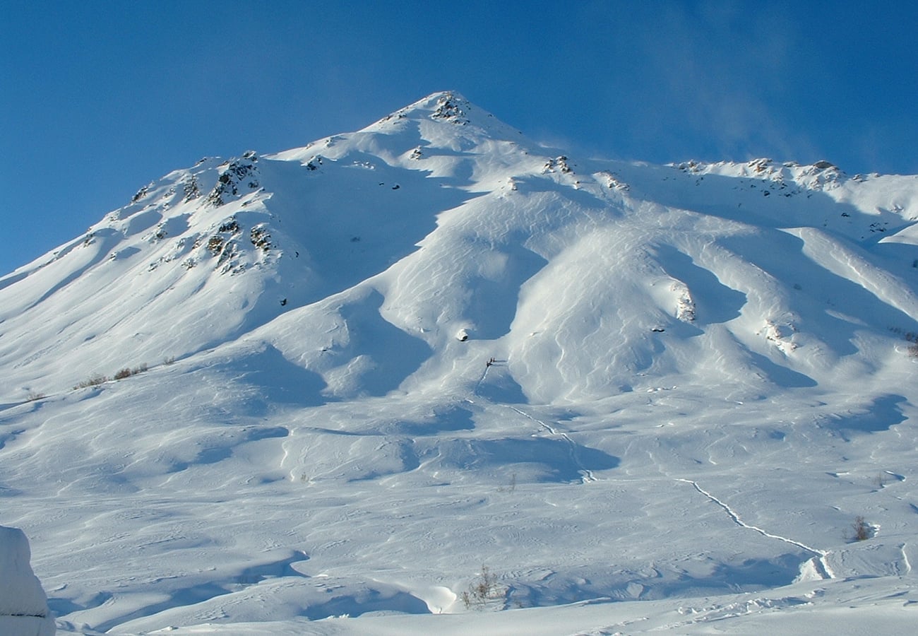 Dramatic alpine valleys and rugged granite ridges at Hatcher Pass in the Talkeetna Mountains.
Reddit locals recommend Hatcher Pass as the premier day-trip road trip from Anchorage. Walk among the preserved wooden bunkhouses and stamp mills of Independence Mine State Historical Park, hike up to turquoise Summit Lake, and pick wild blueberries across the alpine tundra slopes in late August.
8. The Denali Highway Wilderness Gravel Byway (Paxson to Cantwell / 135 Miles)
Opened in 1957 as the original route to Denali National Park, the 135-mile (217-kilometer) Denali Highway (Alaska Route 8) is a largely unpaved gravel road connecting Paxson on the Richardson Highway with Cantwell on the Parks Highway.
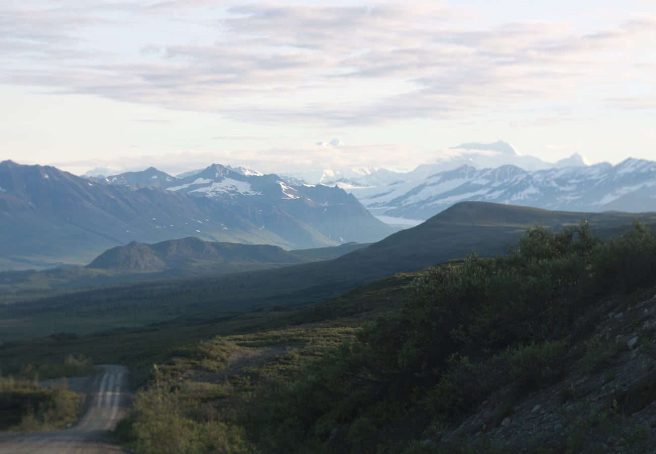 The rugged gravel expanse of the Denali Highway framed by the snowcapped peaks of the Alaska Range.
Travelers on r/alaska rank the Denali Highway as superior to the main national park road for unobstructed wilderness freedom. You travel along the crest of glacial eskers, cross the wild Maclaren River, and gaze upon massive glaciers flowing directly from Mount Hayes and the Amphitheater Mountains. Caribou, moose, and trumpeter swans are seen frequently along the roadside.
9. The Sterling Highway & Kenai Peninsula Halibut Route (Soldotna to Homer / 76 Miles)
Traversing the western coast of the Kenai Peninsula along Cook Inlet, the Sterling Highway (Alaska Route 1) links the world-famous salmon fishing waters of the Kenai River with the artistic maritime community of Homer.
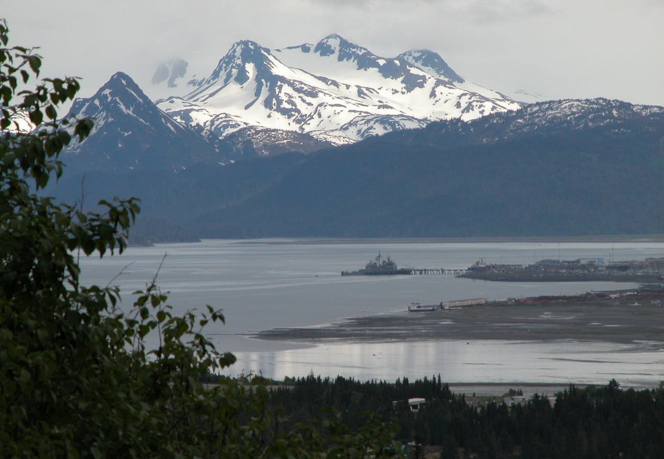 The maritime harbor and mountain backdrop of Kachemak Bay viewed from the iconic Homer Spit.
Reddit travelers highlight the jaw-dropping views of four active volcanoes across Cook Inlet (Mount Redoubt, Mount Iliamna, Mount Augustine, and Mount Spurr). The drive terminates at the famous Homer Spit—a narrow 4.5-mile finger of land jutting into Kachemak Bay where travelers eat fresh halibut fish and chips, watch sea otters raft in the harbor, and charter water taxis into Kachemak Bay State Park.
10. The McCarthy Road & Wrangell-St. Elias National Park (Chitina to Kennicott / 60 Miles)
Built over the historic railbed of the Copper River & Northwestern Railway, the 60-mile unpaved McCarthy Road ventures deep into Wrangell-St. Elias National Park and Preserve—the largest national park in the United States (six times the size of Yellowstone).
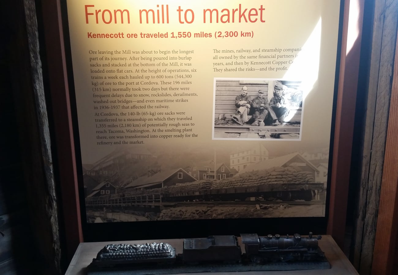 The historic red wooden concentrator building of the Kennecott Copper Mine against the mountains of Wrangell-St. Elias.
Reddit overlanders describe the McCarthy Road as a pilgrimage to a lost century. Motorists cross the high steel trestle over the Kuskulana River canyon (238 feet above the gorge), pass through historic Chitina, cross the footbridge into McCarthy, and tour the mammoth 14-story red wooden mill building of the abandoned Kennecott Copper Mine beneath the Root Glacier.
Alaska Road Trip Comparison: Pavement, Distance & Duration
| Road Trip Name | Route / Highway | Total Distance | Road Surface | Ideal Duration | Top Reddit Highlight |
|---|---|---|---|---|---|
| Seward Highway | Anchorage to Seward (Hwy 1/9) | 127 mi / 204 km | 100% Paved | 1–2 Days | Beluga whale watching; hike to Exit Glacier |
| Parks Highway | Anchorage to Fairbanks (Hwy 3) | 323 mi / 520 km | 100% Paved | 3–4 Days | Denali flightseeing; historic Talkeetna |
| Glenn Highway | Anchorage to Glennallen (Hwy 1) | 187 mi / 301 km | 100% Paved | 1–2 Days | Walk on Matanuska Glacier; Eureka Summit views |
| Richardson Highway | Fairbanks to Valdez (Hwy 4) | 362 mi / 583 km | 100% Paved | 2–3 Days | Keystone Canyon waterfalls; Thompson Pass |
| Dalton Highway | Fairbanks to Deadhorse (Hwy 11) | 414 mi / 666 km | Gravel & Chip-Seal | 4–6 Days | Cross Arctic Circle & Brooks Range (Atigun Pass) |
| Taylor Highway | Tetlin Junction to Eagle (Hwy 5) | 160 mi / 257 km | Mostly Gravel | 2–3 Days | Roald Amundsen gold-rush history on Yukon River |
| Hatcher Pass | Palmer to Willow | 49 mi / 79 km | Paved / Gravel Pass | 1 Day | Independence Mine ruins; alpine tundra hiking |
| Denali Highway | Paxson to Cantwell (Hwy 8) | 135 mi / 217 km | 85% Gravel | 2 Days | Untamed caribou wilderness; Maclaren River views |
| Sterling Highway | Soldotna to Homer (Hwy 1) | 76 mi / 122 km | 100% Paved | 2–3 Days | Homer Spit halibut charters; Cook Inlet volcanoes |
| McCarthy Road | Chitina to Kennicott | 60 mi / 96 km | Rough Gravel / Dirt | 2–3 Days | Historic Kennecott copper mill; Root Glacier hike |
Critical Alaska Driving Survival Rules for 2026
- Rental Car Gravel Restrictions: Standard rental car contracts from major airport agencies (Hertz, Avis, Enterprise) explicitly forbid driving on unpaved highways such as the Dalton, Denali, and McCarthy roads. Violating this voids your insurance. If planning gravel byways, rent through specialized local agencies (e.g., GoNorth Alaska, Alaska 4x4 Rentals).
- Windshield and Headlight Protection: Flying gravel thrown by commercial trucks is the number one cause of vehicle damage in Alaska. Purchase supplemental zero-deductible glass coverage, and keep a generous following distance behind large transport trucks.
- Fuel Planning in Wilderness Corridors: On highways like the Denali and Dalton, gas stops are separated by over 100 to 240 miles. Never pass an open fuel pump without topping off, and carry a certified 5-gallon reserve fuel can when tackling the Dalton Highway.
- Wildlife Protocols (Moose & Bears): Moose are far more dangerous to motorists than bears. A moose collision often shatters the windshield and collapses the vehicle roof into the passenger compartment. Slow down during dawn, dusk, and twilight, and scan roadside willow brush actively.
- Midnight Sun Driving Fatigue: In June and July, 24 hours of continuous daylight disrupts natural circadian rhythms. Set an alarm on your phone for bedtimes, avoid driving late into the night, and pull over when fatigue sets in.
Frequently Asked Questions
Do I need a 4x4 vehicle to road trip in Alaska?
For standard paved highways like the Seward, Glenn, Parks, Richardson, and Sterling highways, a standard two-wheel-drive sedan or compact SUV is completely adequate during the summer season (June to August). For unpaved routes like the Dalton, Denali, or McCarthy roads, an AWD or 4WD vehicle with all-terrain tires and high ground clearance is strongly recommended.
What is the best month for an Alaska road trip?
Late June through mid-August offers the warmest weather, peak salmon runs, fully accessible hiking trails, and operating tour services. For vivid golden autumn tundra foliage and fewer crowds, late August to early September is exceptional, with Northern Lights viewing possible by late August.
Can you drive all the way to the Arctic Ocean in Alaska?
Yes. You can drive the Dalton Highway to Deadhorse / Prudhoe Bay. Because the oilfields surrounding the Arctic Ocean coastline are restricted industrial zones, visitors must book an authorized commercial oilfield shuttle tour at least 24 hours in advance to access the Arctic Ocean shoreline.
Related Travel Guides
- 10 Best Alaska to Canada Road Trip Routes Reddit Travelers Recommend in 2026
- 10 Best Key West to Alaska Road Trip Stops Reddit Travelers Recommend in 2026
- 10 Best National Park Road Trips in America Reddit Travelers Recommend in 2026
- 10 Best Scenic Drives for a USA Bucket-List Road Trip Reddit Travelers Recommend in 2026
Disclaimer
This article is for informational and educational purposes only. It does not constitute legal, financial, or professional advice. While we strive to provide accurate and up-to-date information, travel policies, regulations, and conditions change rapidly. Always verify information with official sources before making travel decisions. Nomad Lawyer makes no representations about the accuracy, reliability, completeness, or suitability of the information provided. Readers should consult qualified professionals for advice specific to their circumstances. The views expressed in this article are those of the author and do not necessarily reflect the views of Nomad Lawyer.
Raushan Kumar
Founder & Lead Developer
Full-stack developer with 11+ years of experience and a passionate traveller. Raushan built Nomad Lawyer from the ground up with a vision to create the best travel and law experience on the web.
Learn more about our team →