
Severe Storms Sweep From Plains to Appalachians Through Sunday Threatening US Flights and Road Trips
Severe storms sweeping from the Plains to the Appalachians through Sunday threaten flights, road trips, and weekend travel across major US cities.

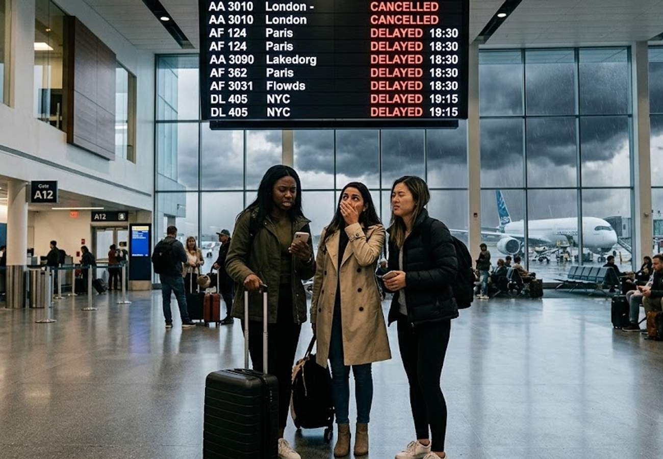
Image generated by AI
Severe storms sweeping from the Plains to the Appalachians through Sunday threaten flights, road trips, and weekend travel across major US cities.
Powerful thunderstorms are moving across a large swathe of the United States through Sunday. The weather system brings damaging winds, flash flooding, large hail, and isolated tornadoes. Millions of residents face rapidly changing conditions.
Meteorologists warn the severe weather will shift eastwards from the Great Plains into the Mississippi Valley, Ohio Valley, and Appalachian region. Different areas will experience the highest risk on successive days. The storm system will disrupt air travel, road transport, and outdoor events.
Key Facts Breakdown
- Friday Risk Zone: St. Louis (Missouri), Springfield (Missouri), Columbia (Missouri), Tulsa (Oklahoma), Little Rock (Arkansas), Memphis (Tennessee).
- Friday Threats: Damaging winds, large hail, flash flooding, isolated tornadoes.
- Saturday Risk Zone: Louisville (Kentucky), Lexington (Kentucky), Nashville (Tennessee), Knoxville (Tennessee), Cincinnati (Ohio), Birmingham (Alabama), Tupelo (Mississippi).
- Saturday Threats: Severe thunderstorms, flooding rain, damaging winds, hail.
- Sunday Risk Zone: Charleston (West Virginia), Beckley (West Virginia), Roanoke (Virginia), Asheville (North Carolina), Chattanooga (Tennessee), Atlanta (Georgia), Gainesville (Georgia).
- Sunday Threats: Damaging winds, heavy rain, flash flooding, isolated severe storms.
- Additional Friday Risk Cities: Amarillo, Texas; Pueblo, Colorado; Colorado Springs, Colorado; Lubbock, Texas; Midland, Texas; Wichita Falls, Texas.
- Gulf Coast Risk: New Orleans, Louisiana; Baton Rouge, Louisiana; Mobile, Alabama; Pensacola, Florida; Tallahassee, Florida; Jacksonville, Florida.
Airport Disruption Watch
Travelers should monitor flights if using these major airports:
- St. Louis Lambert International Airport (STL)
- Tulsa International Airport (TUL)
- Memphis International Airport (MEM)
- Nashville International Airport (BNA)
- Cincinnati/Northern Kentucky International Airport (CVG)
- Birmingham-Shuttlesworth International Airport (BHM)
- Hartsfield-Jackson Atlanta International Airport (ATL)
Weekend Storm Progression
| Day | Highest-Risk Cities | Main Threats |
|---|---|---|
| Friday | St. Louis (Missouri), Springfield (Missouri), Columbia (Missouri), Tulsa (Oklahoma), Little Rock (Arkansas), Memphis (Tennessee) | Damaging winds, large hail, flash flooding, isolated tornadoes |
| Saturday | Louisville (Kentucky), Lexington (Kentucky), Nashville (Tennessee), Knoxville (Tennessee), Cincinnati (Ohio), Birmingham (Alabama), Tupelo (Mississippi) | Severe thunderstorms, flooding rain, damaging winds, hail |
| Sunday | Charleston (West Virginia), Beckley (West Virginia), Roanoke (Virginia), Asheville (North Carolina), Chattanooga (Tennessee), Atlanta (Georgia), Gainesville (Georgia) | Damaging winds, heavy rain, flash flooding, isolated severe storms |
Why This Matters
From a logistical perspective, this means airlines will likely implement ground stops at major hubs like Hartsfield-Jackson Atlanta International Airport (ATL) when lightning moves within five miles. Our analysis of the route map suggests connecting flights through Cincinnati/Northern Kentucky International Airport (CVG) and Nashville International Airport (BNA) face the highest risk of cascading delays. For travelers on this route, the real impact is the potential for multi-hour tarmac delays and sudden cancellations. Road trippers should expect reduced visibility on interstates, particularly across the Mississippi Valley on Friday.
The severe weather will also impact outdoor tourism. Mountain communities, hiking destinations, and scenic driving routes across the Appalachians could experience sudden weather deterioration on Sunday. Tourists visiting national forests, state parks, and mountain resorts should review local weather forecasts before setting out.
Industry Outlook
Market trends suggest post-storm recovery will take 24 to 48 hours for airline schedules to normalize. Travelers should expect residual delays on Monday morning as crews reposition aircraft. We recommend checking flight statuses directly with carriers and building extra buffer time for any road travel through the affected regions.
Stay ahead of the storm and adjust your weekend plans accordingly.
Related Travel Guides
Disclaimer
This article is for informational and educational purposes only. It does not constitute legal, financial, or professional advice. While we strive to provide accurate and up-to-date information, travel policies, regulations, and conditions change rapidly. Always verify information with official sources before making travel decisions. Nomad Lawyer makes no representations about the accuracy, reliability, completeness, or suitability of the information provided. Readers should consult qualified professionals for advice specific to their circumstances. The views expressed in this article are those of the author and do not necessarily reflect the views of Nomad Lawyer.
Raushan Kumar
Founder & Lead Developer
Full-stack developer with 11+ years of experience and a passionate traveller. Raushan built Nomad Lawyer from the ground up with a vision to create the best travel and law experience on the web.
Learn more about our team →