Severe Thunderstorms Trigger Major Flight Delays at Newark Liberty International Airport in September 2026

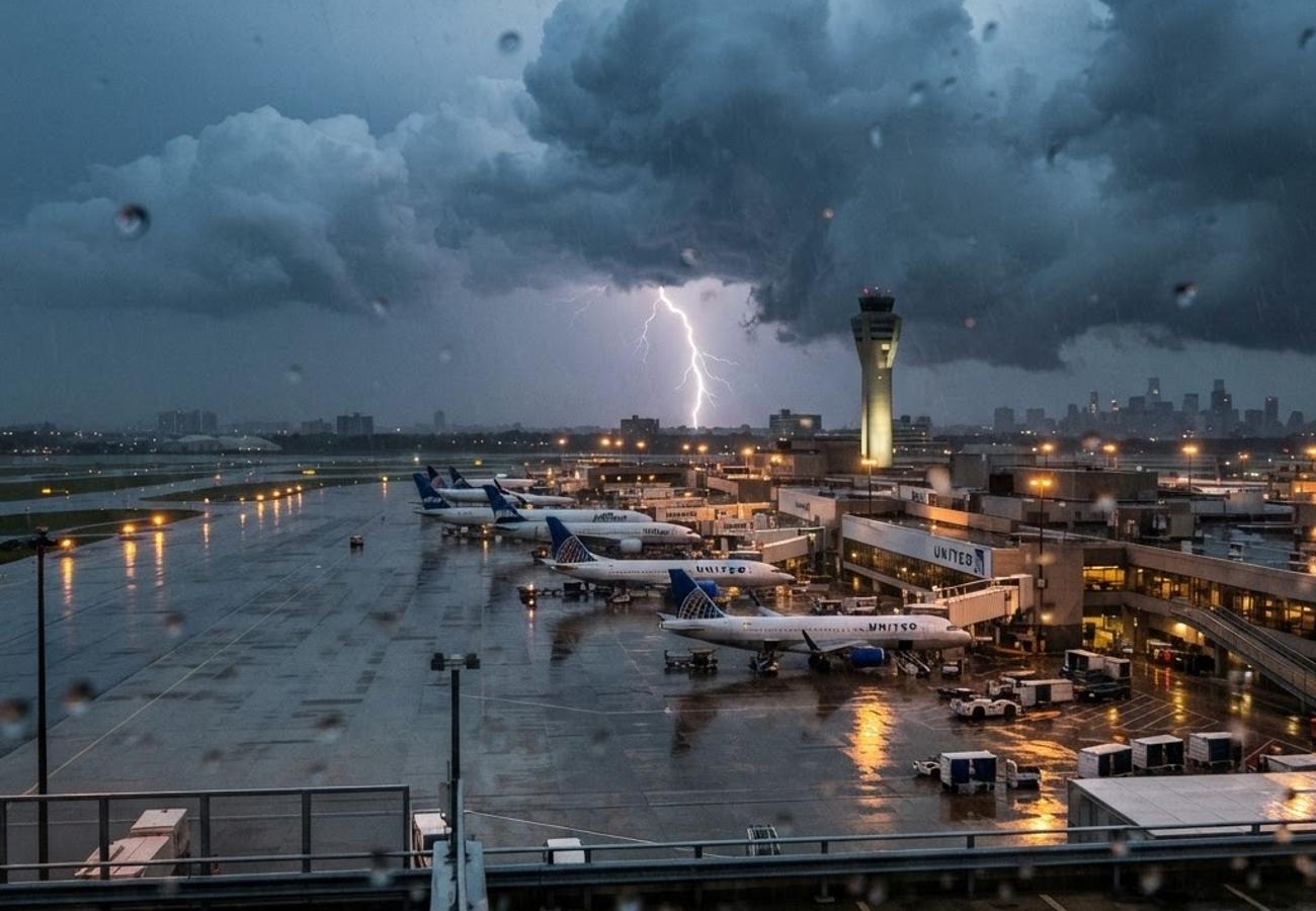
Image generated by AI
Severe thunderstorms across New Jersey on September 1 triggered significant operational shutdowns at Newark Liberty International Airport (EWR), resulting in airborne delays of up to 90 minutes and over 1,100 utility customers losing power.
Severe Weather Disruptions at Newark Liberty International Airport
On the evening of September 1, 2026, a series of severe thunderstorms moved through northern New Jersey, bringing heavy rainfall, lightning, and high wind gusts. The Federal Aviation Administration (FAA) responded by activating a traffic management program for Newark Liberty International Airport to handle the resulting congestion and safety risks.
The impact was felt most acutely during the evening peak. According to FAA real-time status data, aircraft arriving at Newark faced average airborne delays ranging from 1 hour 16 minutes to 1 hour 30 minutes. Departure traffic destined for the hub experienced even steeper delays, averaging approximately 1 hour 42 minutes.
These disruptions were not isolated to Newark. Similar weather-related delays of one hour or more were reported at other major Northeast hubs, including New York’s JFK and LaGuardia airports, as well as Washington Reagan National.
Storm Intensity and Infrastructure Impact
The National Weather Service (NWS) had placed northeast New Jersey under a severe thunderstorm watch through late Tuesday night. Radar data confirmed clusters of intense storms moving through Essex County, with some areas recording one to two inches of rain within a single hour.
At the airport, aviation weather observations noted reduced visibility and cloud tops extending above 6,000 feet. While surface winds remained light, the turbulence aloft forced air traffic controllers to meter arrivals more cautiously, sharply reducing the airport's hourly capacity.
Beyond the tarmac, the storm system triggered scattered power outages. A regional utility outage map indicated that just over 1,100 customers were without electricity at the height of the event, with Essex County being among the hardest-hit regions. The combination of saturated ground and gusty winds led to downed tree limbs and power lines, complicating the local infrastructure surrounding the transit hub.
Newark Liberty Operational Status & Delay Metrics
| Metric | Reported Value (Sept 1, 2026) | Impact Level |
|---|---|---|
| Avg. Arrival Delay | 1h 16m – 1h 30m | High |
| Avg. Departure Delay | 1h 42m | Severe |
| Peak Rainfall | 1–2 inches per hour | Localized Flooding |
| Power Outages | 1,100+ Customers | Moderate |
| Cloud Top Height | Above 6,000 feet | Aviation Hazard |
Traveler Logistics Guide: Navigating EWR During Weather Events
From a ground-level perspective, the best way to navigate Newark during convective weather events is to prioritize digital agility over traditional scheduling. Because EWR operates under strict scheduling limits to manage chronic congestion—a policy set to remain in place through late 2027—even minor weather cells can cause a cascade of delays.
Optimal Connection Strategies:
- Layover Buffers: When routing through Newark during the summer and early autumn thunderstorm season, avoid "tight" connections. A minimum of 3 hours is recommended to account for airborne holding patterns.
- Digital Transit Tools: Use the official airline app for real-time gate changes and "same-day change" options. During the September 1 event, airlines activated flexible travel waivers; checking these via app is significantly faster than waiting in airport customer service lines.
- Baggage Management: Carry-on luggage is highly advised. When flights are rerouted or cancelled due to weather, checked bags often remain trapped at the hub, whereas carry-on passengers can be re-accommodated on alternative flights more efficiently.
Customs and Digital Policy: Travelers arriving from international destinations should monitor the FAA's real-time status page before leaving their hotel or residence to avoid unnecessary congestion in the airport terminals during ground holds.
Regional Connectivity Assessment
This event highlights the persistent vulnerability of the New York metropolitan airspace to convective weather. The FAA has repeatedly cited Newark's high congestion profile as a primary reason for capping operations. When weather forces a reduction in capacity, the "knock-on" effect ripples across the national network, as Newark serves as a critical link for both domestic and international traffic.
As the thunderstorm season continues into September, travelers should expect frequent advisories. The intersection of dense flight schedules and volatile weather patterns means that early arrivals and constant monitoring of NWS forecasts are no longer optional but necessary for successful transit through the Northeast corridor.
Navigating the Northeast hub requires a shift from rigid itineraries to flexible, data-driven travel planning.
Related Travel Guides
This article is for informational purposes. Flight routes, passenger regulations, visa rules, and transit advisories are subject to change by airlines and aviation authorities. Readers are advised to verify schedules and travel documentation with relevant carriers and border agencies before departure.
Related Stories

South End Surf 'N Paddle Sunset Tours: Navigating Long Beach Island's 2026 Water Sports Market

South Africa's Addo Elephant National Park Welcomes Woman-Owned Epitome Spa to Boost Inclusive Tourism 2026