
Nattai and 10 NSW Reserves Face Weekday Closures for Aerial Pest Control in October 2026
NPWS enforces temporary weekday closures across Nattai National Park and 10 Southern Highlands reserves from 12 to 23 October 2026 for aerial pest management.

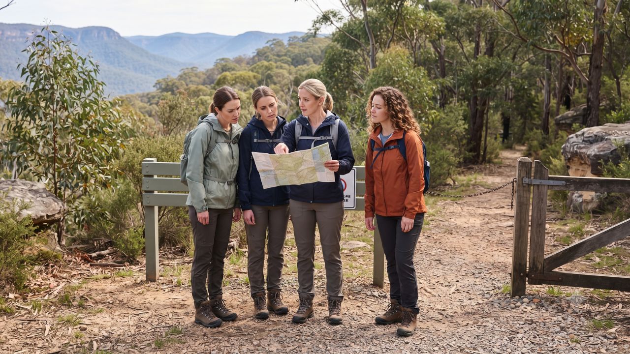
Covering eleven contiguous conservation reserves and managed catchment lands across the Southern Highlands, a coordinated 10-weekday closure enacted by the NSW National Parks and Wildlife Service (NPWS) from 12 to 23 October 2026 has halted outdoor recreation across key sectors of the Greater Blue Mountains World Heritage Area. Enforced from midnight on Monday, 12 October, until 7:00 pm on Friday, 23 October, to conduct low-altitude aerial pest control operations, the temporary weekday exclusion affects iconic wilderness corridors including Nattai National Park, Joadja Nature Reserve, and the Wollondilly River. The restrictions disrupt independent bushwalkers and commercial tour operators across a regional visitor economy that generates A$19.5 billion in annual expenditure and supports 62,000 regional jobs across New South Wales.
The environmental shutdown presents immediate route-planning challenges for travelers exploring regional hubs around Picton, Mittagong, Bargo, and the Wollondilly basin. Because the closure order encompasses eleven distinct state conservation areas, flora reserves, and WaterNSW catchment holdings, hikers cannot simply bypass boundaries into adjoining public lands. With statutory penalties applying to unauthorized entry, navigating this pristine Dharawal and Gundungarra country requires distinguishing temporary weekday shooting exclusions from long-term feral-predator eradication programs and summer park fire bans.
Coordinated Biosecurity Shutdown Across Eleven Southern Highlands Reserves
The aerial culling operation targets invasive pest species to safeguard vulnerable native biodiversity, particularly within wilderness valleys that serve as catchment buffers for Sydney's primary water supply. The official closure calendar divides the operational period into two five-day working blocks: 12 to 16 October and 19 to 23 October. Weekends (17–18 October) and public holidays are excluded from the aerial operation, though earlier spring public holidays—such as NSW Labour Day on 5 October—leave ten full working weekdays under complete recreation bans.
The scope of the order reaches far beyond Nattai's central wilderness trails. The complete list of restricted units comprises Nattai National Park, Nattai State Conservation Area, Burragorang State Conservation Area, Joadja Nature Reserve, Jellore Flora Reserve, Wollondilly River Nature Reserve, Bangadilly National Park, Guula Ngurra National Park, Mount Penang Part 11 managed lands, Upper Nepean State Conservation Area (specifically Stage 2 lands north of Tourist Road), and Barrallier WaterNSW freehold territory.
This wide operational perimeter directly impacts signature day hikes and multi-day treks. The popular Couridjah Corridor walk—a demanding 14-kilometer, grade-four return track spanning four to six hours across Nattai and Thirlmere Lakes—cannot be completed during restricted weekdays because its western reaches cross directly into the closed reserve. Similarly, access to the Starlights trail, the Wollondilly lookout, and remote river campsites is entirely suspended during operational hours.
Jurisdictional Breakdown: Closed Lands, Approved Alternatives, and Tourism Metrics
Managing regional itineraries requires comparing closed conservation lands with verified, open alternatives in adjacent districts.
| Conservation Area / Asset | Official Status (12–23 Oct 2026) | Geographical Scope & Sector | Recommended Alternative / Operational Guidance |
|---|---|---|---|
| Nattai National Park & SCA | Closed weekdays (midnight to 7pm) | Core Southern Highlands wilderness | Divert to Thirlmere Lakes loop or Morton National Park |
| Burragorang State Conservation Area | Weekday closure enforced | Lake Burragorang catchment rim | Burragorang Lookout open weekends (7am–7pm; A$4 fee) |
| Guula Ngurra & Bangadilly Parks | Closed weekdays during operation | Southern escarpments & gorge country | Do not use as alternate routes; full entry prohibited |
| Joadja & Jellore Reserves | Closed weekdays during operation | Heritage mining ruins & flora zones | Exclude entirely from regional heritage road itineraries |
| Wollondilly River Nature Reserve | Closed weekdays during operation | River corridor and remote rapids | Cancel kayak, canoe, and riverside hiking excursions |
| Thirlmere Lakes Walking Track | Open with vehicle detour | 6km grade-four loop (1.5–2.5 hours) | Access via Slades Road; Pumphouse Road closed to vehicles |
| Bargo SCA (Little River Area) | Open; subject to fire restrictions | Bushwalking near Buxton railhead | Access via West Parade and Wilson Drive; check fire bans |
| Morton NP (West Rim Track) | Fully accessible; no track alerts | Fitzroy Falls gorge (3.5km return) | Standard parking fees apply; 1.88M annual park visitors |
| Statewide NSW Park Visitor Economy | 65.59M domestic visits (2024–25) | A$19.5B annual economic contribution | 44% visit parks as sole reason; 17% as main reason |
To preserve regional travel bookings without breaching biosecurity perimeters, the NPWS has identified three authorized walking alternatives outside the closure envelope. Thirlmere Lakes National Park offers a 6-kilometer grade-four wetland circuit; however, motorists must access trailheads via Slades Road due to ongoing vehicle closures along Pumphouse Road. Further south, the Little River trail area within Bargo State Conservation Area provides accessible woodland trails near Buxton. For panoramic waterfall scenery, Morton National Park's West Rim walking track at Fitzroy Falls remains fully open, delivering 3.5 kilometers of cliff-edge viewpoints overlooking dramatic escarpment gorges.
The economic importance of these access corridors is demonstrated by the NSW Park Visitor Survey, which recorded 65,590,112 domestic visits in 2024–25 (comprising 53,091,099 adults and 12,499,013 children). Furthermore, 72% of all international tourists visiting New South Wales visited at least one national park, generating approximately 4.6 million overseas visits. Morton National Park alone welcomed 1,889,384 visitors during the 2024–25 survey cycle, underscoring how secondary escarpment trails absorb diverted traveler flows.
The Triple-Layer Restriction: Aerial Operations, Feral Cat Eradication, and Summer Fire Bans
A primary trap for travelers and outdoor guides is assuming that all access restrictions terminate when the aerial pest control operation ends at 7:00 pm on 23 October. In reality, travelers must navigate three distinct, overlapping environmental protection regimes across the Southern Highlands.
First, an independent feral-cat management program operates across southern Nattai from 14 September through 13 November 2026. Encompassing the sensitive habitat between Warrels Fire Trail, O'Brien's Road, and the W4 Fire Trail, this operation utilizes automated Felixer grooming traps deploying 1080 poison cartridges to eradicate feral predators threatening the endangered brush-tailed rock-wallaby (Petrogale penicillata). Hikers planning trips in late October or early November must recognize that southern Nattai remains legally off-limits weeks after the aerial cull concludes.
Second, the statutory Hawkesbury–Nattai park fire ban took effect on 1 October 2026 and remains in force through 31 March 2027. Under these rules, all open campfires and solid-fuel combustion stoves (including wood, charcoal, and heat beads) are strictly banned across all park boundaries. Only liquid-fuel or gas cookers with dedicated shut-off valves are permitted in designated cleared zones. During declared Total Fire Bans, even gas cookers are illegal, requiring multi-day backpackers to carry no-cook food rations.
Expert Analysis: The Complexity of Overlapping Biosecurity, Fire Bans, and Commercial Licensing
The October closures across the Southern Highlands illuminate the operational friction that arises when critical wildlife conservation intersects with high-density nature tourism. While state authorities have invested more than A$352 million into national park walking trails, lookouts, and camping infrastructure, biological asset protection routinely overrides recreational access.
For travelers booking this route, the direct consequence is that spontaneous trail substitutions carry significant legal and safety risks. Attempting to swap Nattai for Guula Ngurra or Bangadilly achieves nothing, as both alternate parks are shut under the same aerial pest control decree. Furthermore, attempting to bypass closed trailheads by bushwalking along unmarked ridgelines exposes hikers to active aerial shooting zones and terrain subject to 1080 toxic baiting, triggering severe statutory fines under the NSW National Parks and Wildlife Act.
The pricing pressure this creates means that commercial tour operators face complex contractual liabilities. Under statutory Parks Eco Pass licensing conditions managed by Destination NSW and NPWS, licensed outdoor guides are legally restricted to specific pre-approved trails and activity types. Operators cannot legally reroute commercial groups into alternative reserves—such as Bargo or Morton—without securing formal administrative site amendments from NPWS, a bureaucratic process requiring at least two weeks of advance notice.
Consequently, tour operators unable to obtain emergency license variations must either absorb short-notice cancellation costs or reschedule itineraries into non-park cultural attractions. With 61% of park visitors stating that national parks represent either the sole reason (44%) or primary reason (17%) for their journey, replacing a remote wilderness hike with an urban cafe tour frequently triggers customer refund disputes. Professional operators must communicate revised walking grades, gear mandates, and water carrying minimums (at least two liters per person) to maintain customer trust and regulatory compliance.
Key Takeaways
- Eleven Reserves Closed Weekdays: NPWS enforces complete weekday visitor closures across Nattai, Burragorang, Joadja, and eight other reserves from 12 to 23 October 2026 for aerial culling.
- Weekend Access Windows: Weekends (17–18 October) are excluded from the aerial cull, allowing access to sites like Burragorang Lookout (open 7am–7pm with an A$4 vehicle entry fee).
- Feral Cat Exclusion Through November: Southern Nattai between Warrels Fire Trail and W4 Fire Trail remains sealed through 13 November 2026 for Felixer 1080 rock-wallaby protection.
- Strict Summer Fire Ban: The Hawkesbury–Nattai fire ban prohibits all campfires and solid-fuel stoves through 31 March 2027, requiring gas or liquid-fuel equipment.
- Approved Open Alternatives: Bushwalkers can divert to Thirlmere Lakes (via Slades Road), Bargo SCA Little River trails, or Morton National Park's West Rim track at Fitzroy Falls.
FAQ: Nattai National Park Closures and NSW Bushwalking 2026
Are Nattai National Park and nearby reserves open on weekends during October 2026?
Yes. The aerial pest control closure applies only on weekdays from 12 to 23 October. Weekends (17–18 October) are open, but visitors must check independent trail alerts and the southern Nattai Felixer cat closure.
Can hikers walk the Couridjah Corridor trail during the closure?
No. Because the Couridjah Corridor walk crosses into Nattai National Park, the full 14-kilometer return track is closed on weekdays. Hikers should use the 6-kilometer Thirlmere Lakes loop instead.
What equipment is required for alternative hiking tracks in the Southern Highlands?
Hikers should carry at least two liters of drinking water per person, offline GPS maps, sturdy hiking boots, weather-appropriate clothing, and a Personal Locator Beacon (PLB) for remote trails.
Can campers light campfires in Nattai after the aerial culling ends on 23 October?
No. The Hawkesbury–Nattai park fire ban prohibits all open campfires and solid-fuel stoves until 31 March 2027. Only gas or liquid-fuel stoves are permitted in cleared areas.
In the rugged escarpments of the Southern Highlands, successful wilderness travel depends on recognizing that a park map is worthless unless matched against live biosecurity and fire management decrees.
Related Travel Guides
Disclaimer
This article is for informational and educational purposes only. It does not constitute legal, financial, or professional advice. While we strive to provide accurate and up-to-date information, travel policies, regulations, and conditions change rapidly. Always verify information with official sources before making travel decisions. Nomad Lawyer makes no representations about the accuracy, reliability, completeness, or suitability of the information provided. Readers should consult qualified professionals for advice specific to their circumstances. The views expressed in this article are those of the author and do not necessarily reflect the views of Nomad Lawyer.
Naina Thakur
Contributor & Travel Specialist
Travel enthusiast and legal writer covering visa regulations, responsible tourism, and cultural journeys across global destinations.
Learn more about our team →