Minnesota, Iowa, and Texas Face Severe Travel Chaos as Midwest Tornado Outbreak and Rising Floods Trigger Massive Airport Disruptions and Flight Cancellations
A multi-state severe weather outbreak is causing widespread travel chaos across the US Midwest and Plains, impacting Minnesota, Iowa, Wisconsin, and Texas. Get the latest aviation updates.
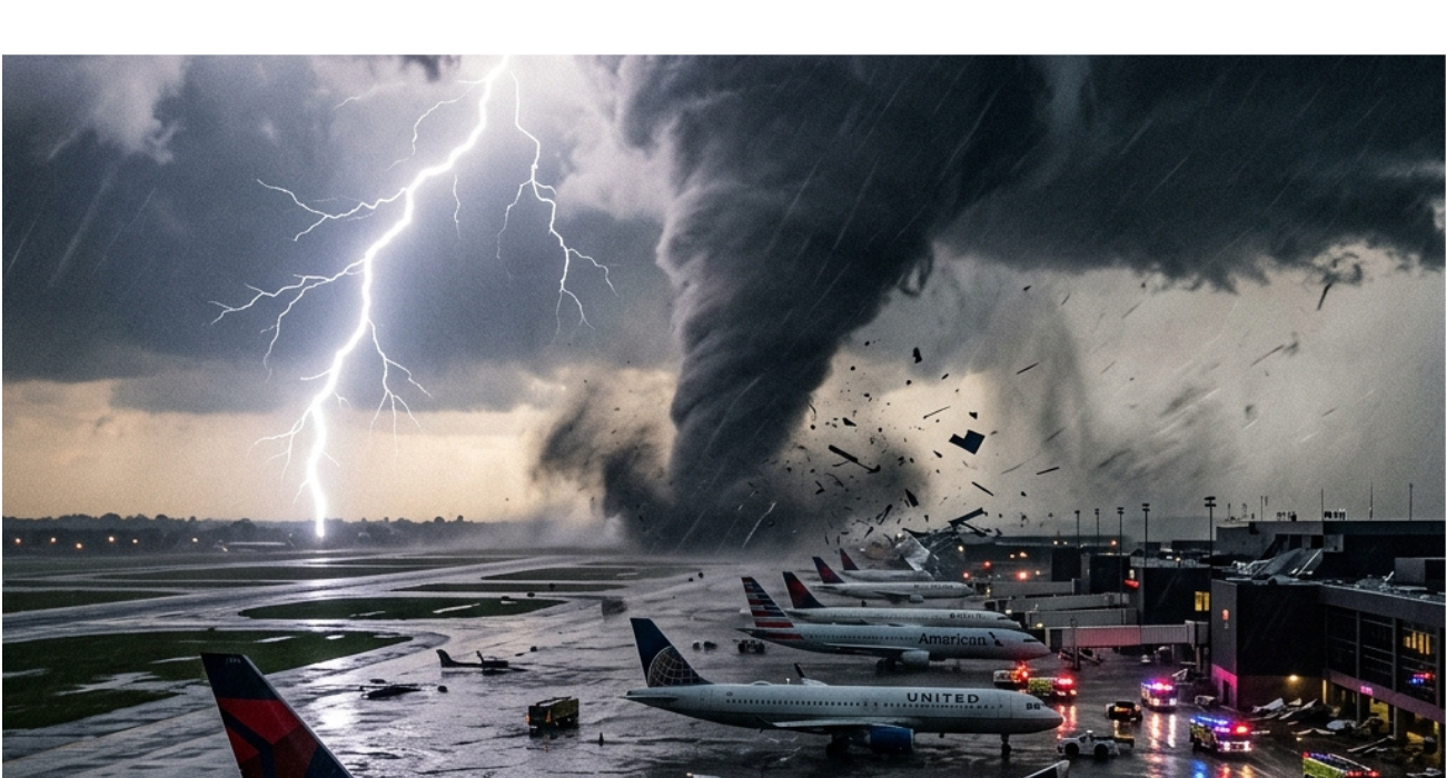
Image generated by AI
The vast expanse of the US Midwest and Plains is currently grappling with unprecedented travel chaos and paralyzing airport disruptions as a relentless, multi-state severe weather outbreak triggers devastating tornadoes, major hail, and intensified flooding. From Minnesota newly joining the expanding crisis down to the plains of Texas, Oklahoma, Missouri, and Arkansas, major travel hubs and ground transit networks are buckling under the pressure. As the storm system intensifies, travel authorities are reporting mounting flight cancellations and severe delays, sending shockwaves through the national aviation network and prompting urgent aviation updates.
Context and Background: An Atmospheric Collision Course
The ongoing crisis across the United States is fundamentally driven by a highly volatile atmospheric collision over the central part of the nation. Unseasonably warm, moisture-rich air surging northward from the Gulf of Mexico has aggressively intersected with an advancing wall of cold, excessively dry air diving out of the north. According to meteorological analysis from AccuWeather, this aggressive mixture is creating extreme atmospheric instability, rapidly generating explosive and intense thunderstorm activity across a massive geographic corridor.
While dynamic spring weather patterns are historically common in this region, forecasters emphasize that the current combination of powerful jet stream dynamics and deepening surface low-pressure systems is magnifying the storm severity far beyond typical seasonal expectations. As a direct result, this extreme weather event is an extensive, multi-state emergency rather than an isolated incident. The sweeping scale of the system is actively generating a steady stream of airline news as major travel hubs throughout the Midwest scramble simultaneously to navigate the sprawling threat zone.
Breaking Down the Geographic / Commercial Impact
The storm’s impact zone covers an extraordinarily vast geographic corridor, stretching ominously from Texas up through the Plains into Wisconsin, and progressively branching into portions of the Northeast. States bearing the immediate brunt of the repeated storm activity now include Minnesota, Iowa, Illinois, and Missouri, alongside Oklahoma and Arkansas.
Major metropolitan areas positioned within these states are confronting direct hits to their infrastructure. Cities such as Chicago and Kansas City are explicitly highlighted due to their heightened urban vulnerability. The regional cascading effects are profound: hundreds of severe weather incidents have already been logged, including confirmed tornado sightings on the ground and reports of catastrophic straight-line winds capable of downing power lines and blocking critical transportation arteries. Across the board, airports are struggling with visibility issues and hazardous airspace conditions, leading directly to the widespread flight cancellations plaguing current aviation updates.
Passenger Impact: Navigating the Travel Chaos
For the millions of residents and passengers caught in the escalating crosshairs of this weather system, the immediate reality is one of sheer logistical frustration and uncertainty. Travelers passing through major Midwestern aviation hubs are encountering severe delays, abrupt ground stops, and the daunting prospect of missed connecting flights as airlines scramble to adjust crew schedules and aircraft repositioning.
The chaos is not confined exclusively to the skies. On the ground, highways and interstate arteries are experiencing sudden water pooling, flash flooding, and hazardous debris fields, complicating the journeys of those attempting to bypass airport delays via rental cars or regional transit. Tourism activities across the affected states are being abruptly curtailed as emergency alerts ring out and local municipalities prioritize public safety advisories over continued commerce. The sudden halt in scheduled programming leaves many hotel guests stranded and local businesses grappling with last-minute cancellations.
The Role of Tornadoes and Destructive Hail
Tornadoes and massive hailstones are serving as the primary drivers of the escalating property and operational damage within this outbreak. Experts from the Storm Prediction Center (SPC) have explicitly identified a substantial high-risk zone stretching over key Midwest territories, warning intensely of the terrifying potential for nighttime tornadoes. These nocturnal twisters pose outsized life-threatening risks simply due to the visual obscurity and the delayed reaction times of sleeping populations when warnings are finally issued.
Simultaneously, the widespread reporting of enormous, destructive hail presents a crippling operational threat to exposed infrastructure. Aviation hubs must scramble to secure ground support equipment and potentially reposition aircraft to avoid catastrophic damage to fuselages and cockpit glass, while everyday motorists face shattered windshields and dented vehicles. The simultaneous presence of both tornadoes and major hail deeply complicates ongoing emergency response efforts and compounds the fundamental danger facing anyone caught outdoors.
Flooding Escalates the Severity of the Situation
Compounding the wind-driven terrors of the storm front is the devastating secondary threat of widespread flooding. Relentless, heavy rainfall is rapidly overwhelming local drainage networks and saturating the soil throughout the Upper Midwest. River systems in several localized regions, notably including vital waterways across Wisconsin and Michigan, are swelling precariously toward major flood stages, with some forecast tracking models predicting record-breaking crests before the week concludes.
This deluge of water is physically disrupting transport networks, occasionally forcing emergency evacuations in low-lying communities, and significantly expanding the overarching footprint of the travel chaos. As floodwaters linger and roadbeds wash out, the logistical recovery time for regional supply chains and local commuter networks stretches dramatically. Even after the primary violent thunderstorms clear a specific region, the resulting flood conditions stubbornly persist, creating prolonged economic suppression and forcing the travel industry to adopt deeply extended contingency plans.
Industry Analysis: Adapting to the Outbreak
The sheer synchronization of these disruptions is forcing a sweeping recalibration within the travel sector. Because the storm system inherently represents a multi-state emergency impacting millions simultaneously, airlines are preemptively enacting widespread schedule adjustments. Protective measures—such as moving aircraft away from the most heavily targeted airports and issuing sweeping travel waivers—are vital steps to ensure broader fleet safety, despite immediately causing higher rates of airport disruptions.
The current environment demonstrates the vulnerability of highly interconnected travel systems to extreme weather events. The fundamental reason this situation escalates so fiercely is the lack of buffer zones; with Minnesota, Iowa, Wisconsin, Arkansas, Texas, Missouri, and Oklahoma impacted simultaneously, redirected flights have far fewer safe alternate routing options. Thus, the industry is entirely reliant upon early alert systems and the flexibility of its passenger base.
Weekend Forecast: How the Storm System Will Evolve
Friday stands uniquely classified as the most critical and dangerous phase of the outbreak due to the absolute peak in atmospheric energy and maximum alignment of the differing storm systems. Looking forward into the weekend, meteorological models predict the main storm front will physically shift eastward as a cold front steadily advances across the country.
By Saturday, the core threat zone is projected to stretch directly into Ohio, Pennsylvania, and localized parts of New York state. While the localized risk for significant tornado formation may technically decrease as the system pushes east, the distinct threats associated with damaging straight-line winds and large hail will unquestionably remain primary concerns for both residents and regional aviation sectors. By Sunday, the broader intensity of the system is finally forecast to begin declining, though lingering impacts, including gusty winds, sudden coastal downpours, and scattered thunderstorms, will undoubtedly continue to hamper the Northeast and Southeast.
What Guests Get
If you are navigating the current storm front, airlines are generally offering the following immediate provisions:
- Widespread Travel Waivers: Major carriers are issuing comprehensive fee waivers, allowing passengers to immediately rebook their flights out of the affected Midwest hubs without enduring traditional change penalties.
- Real-time Rerouting: For those caught mid-transit, operations teams are attempting proactive rerouting, though standard alternate hubs may also be experiencing heavy congestion.
- Safety Over Schedule: Expect abrupt delays and rolling ground stops; airlines are prioritizing fleet and passenger safety over strictly adhering to their published timetables during peak storm hours.
What This Means for Travelers
The ongoing sloggy weather outbreak and its resulting travel chaos necessitate immediate action for anyone with itineraries tied to the Midwest, Plains, or advancing eastern front. Flexibility is no longer optional; it is absolutely essential. Always verify your flight status directly via your specific airline’s official mobile application long before departing for the airport, as airport disruptions can trigger abrupt terminal changes and security delays.
If your travel requires regional driving, continuously monitor localized flood warnings and absolutely avoid attempting to cross water-covered roadways, as debris and washed-out asphalt pose hidden life-threatening risks.
FAQ: Midwest Severe Weather Outbreak 2026
Why are there so many flight cancellations this week? A massive, highly volatile atmospheric collision is generating an expansive severe weather outbreak across the Midwest and Plains, forcing airlines to proactively ground flights due to dangerous winds, hail, and zero-visibility storms.
Which states are facing the worst of the current travel chaos? The geographic impact zone is incredibly broad, heavily affecting Minnesota, Iowa, Wisconsin, Illinois, Missouri, Arkansas, Oklahoma, and Texas with repeated thunderstorm activity and localized flooding.
Will the severe weather impact weekend travel plans? Yes. While Friday is projected as the most intense period, the advancing cold front will actively shift the severe weather threat eastward over the weekend, expanding potential disruptions into Ohio, Pennsylvania, and New York.
Related Travel Guides
Disclaimer
This article is for informational and educational purposes only. It does not constitute legal, financial, or professional advice. While we strive to provide accurate and up-to-date information, travel policies, regulations, and conditions change rapidly. Always verify information with official sources before making travel decisions. Nomad Lawyer makes no representations about the accuracy, reliability, completeness, or suitability of the information provided. Readers should consult qualified professionals for advice specific to their circumstances. The views expressed in this article are those of the author and do not necessarily reflect the views of Nomad Lawyer.

Raushan Kumar
Founder & Lead Developer
Full-stack developer with 11+ years of experience and a passionate traveller. Raushan built Nomad Lawyer from the ground up with a vision to create the best travel and law experience on the web.
Learn more about our team →