US Severe Weather Alert: Texas Joins Kansas, Missouri, Iowa, Illinois, Wisconsin, and Minnesota as Powerful Tornadoes, Flash Flooding, and Destructive Storms Trigger Massive Travel Chaos Across 1,200-Mile Corridor
A massive severe weather outbreak is sweeping across the United States, with Texas and the Midwest facing catastrophic tornadoes and flooding that have paralyzed travel and grounded flights.
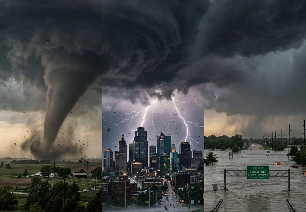
Image generated by AI
United States Gripped by Severe Weather Outbreak: Tornadoes and Flooding Explode Across a 1,200-Mile Corridor from Texas to Minnesota
CHICAGO – The United States is currently battling a catastrophic and rapidly evolving severe weather crisis that has sent shockwaves through the nation’s transportation network. Today, April 16, 2026, Texas has officially joined a growing list of states—including Kansas, Missouri, Iowa, Illinois, Wisconsin, and Minnesota—in facing "unprecedented travel chaos" as a massive storm system unleashes powerful tornadoes, life-threatening flash flooding, and destructive straight-line winds.
The sheer scale of the disruption is staggering. According to the latest meteorological updates, this volatile weather pattern has already generated over 400 severe weather incidents, spanning a vast geographic corridor that stretches more than 1,200 miles across the American heartland. With major aviation hubs like Chicago O'Hare and Kansas City International directly in the line of fire, the industry is bracing for a wave of cancellations and operational gridlock.
A Perfect Atmospheric Collision: The Driving Force Behind the Chaos
Aviation and weather experts point to a "potent atmospheric collision" as the primary driver of this unfolding crisis. High-pressure, moisture-rich air flowing from the Gulf of Mexico has slammed into a powerful cold front sweeping across the central United States. This clash has created a volatile cocktail of instability and energy, fueling supercell thunderstorms and long-track tornadoes that are capable of historic destruction.
"The alignment of atmospheric conditions is nearly perfect for extreme storm development," noted a senior meteorologist. "The system is dynamic and evolving, meaning the threat level can escalate from a standard thunderstorm to a deadly tornado event within minutes."
Section-Wise Breakdown: Regional Centers of the Outbreak
Texas and the Southern Plains: The Expanding Front
Texas has seen a rapid intensification of storm activity over the last few hours. Dangerous supercells have begun to track across the northern and central parts of the state, bringing threats of large hail and tornadoes. For travelers at Dallas/Fort Worth (DFW) and other Southern hubs, the uncertainty is rising as storm lines move eastward, threatening to pinch off major flight paths.
Kansas and Missouri: The Heart of the Tornado Zone
The threat is particularly acute in the central Plains. Cities like Kansas City are facing elevated risks of destructive wind gusts and nocturnal tornadoes. The National Weather Service has warned that the timing of these storms is especially dangerous, as tornadoes occurring late at night are harder to detect and often prove more deadly due to delayed public response and reduced visibility.
Iowa, Illinois, and Wisconsin: The Midwest Stronghold
This trio of states has already recorded significant storm activity. In Illinois, particularly around the metropolitan Chicago area, aviation officials are monitoring a convergence of maximum atmospheric instability. The formation of organized storm systems, such as squall lines, is creating sustained high winds that threaten to ground short-haul and international flights alike.
Minnesota and the Upper Midwest: The Flooding Crisis
While the southern end of the system deals with wind and tornadoes, the north is facing a hydrological emergency. In Minnesota and Wisconsin, repeated heavy rainfall has saturated the soil, overwhelming river systems and leading to moderate to major flooding.
Hydrological Impact: Rivers on the Rise
Flooding has emerged as a significant secondary hazard, compounding the damage caused by high winds. Rivers including the Mississippi and Wabash are experiencing prolonged elevated levels.
- Flash Flooding: USGS experts warn that flash floods are occurring rapidly with little warning, particularly in urban drainage systems and near small streams.
- Infrastructure Stress: Saturated ground and inundated roads in the Upper Midwest are expected to persist for days, even after the main rain system moves out, complicating long-term travel recovery.
Passenger Impact and Travel Disruptions
The human cost of this 1,200-mile storm system is visible at airports across the Midwest. Thousands of passengers are currently facing:
- Massive Flight Cancellations: Major carriers are proactively cancelling flights into and out of the high-risk zones to avoid stranding aircraft in the path of storms.
- Missed Connections: The rippling effect of delays in Chicago and Kansas City is being felt in the Northeast and Southeast, as international flights are held back.
- Rising Costs: Stranded travelers are dealing with surging hotel prices and the logistical nightmare of rebooking on already-crowded routes.
Industry Analysis: Friday Marks the Peak Danger
Aviation analysts believe that Friday will mark the peak of this severe weather event. The convergence of maximum instability, strong wind shear, and the advancing cold front creates the "perfect storm" for widespread tornado development.
"Friday is the most dangerous day of the outbreak," explains an industry expert. "We are likely to see organized systems like squall lines producing hurricane-force wind gusts up to 80 mph. This isn't just a weather event; it’s a systematic stress test for the entire US aviation network."
Conclusion: A Broader Impact on Global Recovery
This multi-day outbreak is expected to shift eastward toward Ohio, Pennsylvania, and New York by the weekend. While the system may weaken slightly by Sunday, the residual instability will likely trigger gusty conditions and thunderstorms along the Atlantic coast.
The broader aviation recovery outlook depends on how quickly these major hubs can resume operations after the "peak danger" window passes. For now, the message to travelers is clear: maintain sustained vigilance, follow official guidance, and check airline status every hour.
Key Takeaways: US Severe Weather Crisis
- 1,200-Mile Corridor: Impact spans from the Plains to the Midwest, stretching into the Southeast and Northeast.
- 400+ Incidents: Record number of severe weather events including tornadoes, hail, and damaging winds.
- Critical Hubs Under Threat: Major travel chaos at airports in Chicago, Kansas City, Madison, and Dallas.
- Friday Peak: Maximum atmospheric instability forecasted for Friday, marking the highest risk for tornadoes.
- Flooding Alert: The Mississippi and Wabash rivers are seeing moderate to major flooding, impacting Upper Midwest transit.
- Wind Speeds: Destructive gusts up to 80 mph recorded, causing infrastructure and power disruptions.
Related Travel Guides
- Managing Flight Disruptions: A Guide for Intercontinental Travelers
- How to Stay Safe During Tornado Season in the US
- Lufthansa Strikes Ground Flights in Europe: April 2026 Update
Disclaimer: Weather conditions are based on real-time meteorological reports as of April 16, 2026. Travelers should verify all flight statuses directly with their airlines and monitor local NWS alerts.
Disclaimer
This article is for informational and educational purposes only. It does not constitute legal, financial, or professional advice. While we strive to provide accurate and up-to-date information, travel policies, regulations, and conditions change rapidly. Always verify information with official sources before making travel decisions. Nomad Lawyer makes no representations about the accuracy, reliability, completeness, or suitability of the information provided. Readers should consult qualified professionals for advice specific to their circumstances. The views expressed in this article are those of the author and do not necessarily reflect the views of Nomad Lawyer.

Kunal K Choudhary
Co-Founder & Contributor
A passionate traveller and tech enthusiast. Kunal contributes to the vision and growth of Nomad Lawyer, bringing fresh perspectives and driving the community forward.
Learn more about our team →