
Gulf Islands Ferry Expands Anna Maria Island Access with New Coquina Beach Stop in 2026
The Gulf Islands Ferry has introduced a third stop at Coquina Beach to reduce bridge congestion and enhance car-free transit to Anna Maria Island.

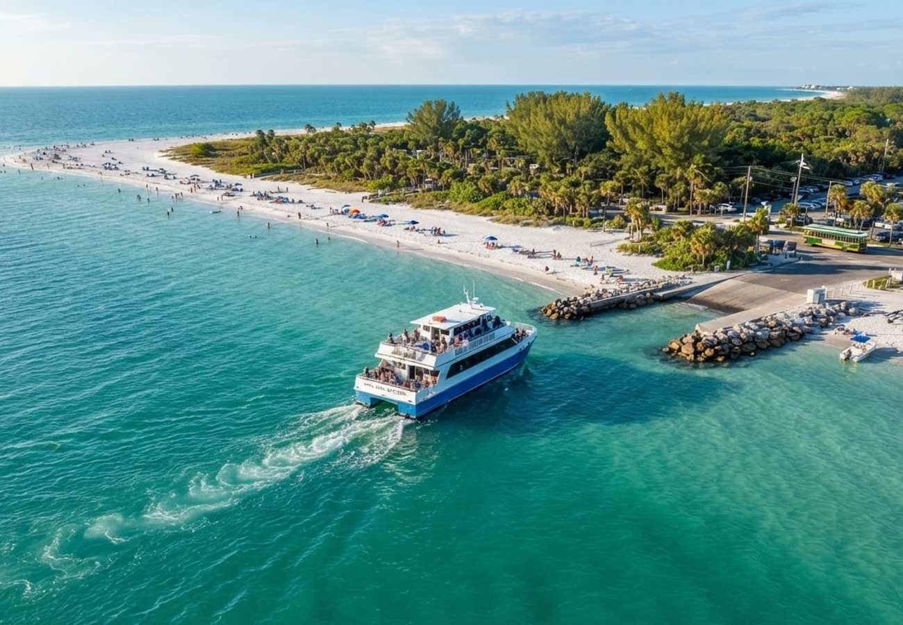
Image generated by AI
The Gulf Islands Ferry has officially integrated a third stop at the Coquina Beach boat ramp, creating a strategic waterborne link to reduce heavy vehicle congestion on Anna Maria Island’s primary bridges.
Expansion of the Gulf Islands Maritime Network
The Gulf Islands Ferry has expanded its operational reach by adding Coquina Beach to its existing route system. This new stop complements the established connections between downtown Bradenton, the Anna Maria City Pier, and the Bradenton Beach City Pier.
Our analysis of the network indicates that this is not a standalone line but an integration into existing routes. Passengers can now travel directly from the Manatee River waterfront in downtown Bradenton to the Gulf of Mexico shoreline at Coquina Beach.
The fleet currently utilizes vessels including the Downtown Duchess and Miss Anna Maria. The service is positioned as a cost-effective alternative for visitors, allowing them to utilize downtown parking facilities and bypass the island's limited road infrastructure.
Infrastructure and Transit Integration
Coquina Beach, located at the southern tip of Anna Maria Island within the city of Bradenton Beach, was selected as a hub due to its existing high-capacity infrastructure. The site features a public boat ramp, extensive parking, and renovated park facilities including restrooms and shaded picnic areas.
For the passenger, the primary advantage is the creation of a multimodal transit node. The Coquina Beach stop serves as the southern terminus for the free Anna Maria Island trolley.
Transit Connection Details:
- Trolley Route: Operates along Gulf Drive between Coquina Beach and the City Pier in Anna Maria.
- Frequency: Typically every 20 minutes throughout the day.
- Operator: Manatee County Area Transit.
- Key Stops: Includes Bridge Street and Manatee Public Beach.
This integration allows travelers to transition from ferry to trolley without the need for a private vehicle, effectively linking the mainland to the northernmost points of the island.
Impact on Regional Traffic and Environment
Anna Maria Island is constrained by two primary access points: the Cortez Bridge and the Anna Maria Island Bridge. Regional transportation data highlights severe seasonal congestion during weekends and winter/spring holidays.
By diverting a portion of the visitor volume to the ferry, local authorities aim to achieve the following:
- Reduced Bridge Pressure: Lowering the volume of private vehicles crossing the two main bridges.
- Parking Mitigation: Reducing the demand for limited street parking in residential areas further north on the island.
- Environmental Protection: Lowering vehicle emissions in sensitive coastal zones by promoting walking, cycling, and water transit.
Passenger Advisory: Navigating the New Route
For travelers planning a visit to Anna Maria Island, the recommended transit flow is as follows:
- Arrival: Park in downtown Bradenton.
- Transit: Board the Gulf Islands Ferry at the downtown dock.
- Disembarkation: Exit at the Coquina Beach boat ramp landing point.
- Island Distribution: Walk directly into the beach park or transfer to the free island trolley for travel north along Gulf Drive.
Our analysis of the local transit policy suggests that this model is most effective during peak tourism months. Travelers are encouraged to avoid private vehicle entry via the bridges to bypass common delays and full parking lots.
The expansion of the Gulf Islands Ferry represents a shift toward "managed growth" in coastal tourism. By concentrating infrastructure at well-equipped sites like Coquina Beach, Manatee County is attempting to balance economic drivers with environmental sustainability.
The move toward multimodal connectivity—linking downtown hubs, maritime transit, and free shuttle services—is a scalable model for other barrier island destinations facing similar infrastructure bottlenecks.
A strategic shift toward car-free coastal access.
Related Travel Guides
Disclaimer
This article is for informational and educational purposes only. It does not constitute legal, financial, or professional advice. While we strive to provide accurate and up-to-date information, travel policies, regulations, and conditions change rapidly. Always verify information with official sources before making travel decisions. Nomad Lawyer makes no representations about the accuracy, reliability, completeness, or suitability of the information provided. Readers should consult qualified professionals for advice specific to their circumstances. The views expressed in this article are those of the author and do not necessarily reflect the views of Nomad Lawyer.
Preeti Gunjan
Contributor & Community Manager
A passionate traveller and community builder. Preeti helps grow the Nomad Lawyer community, fostering engagement and bringing the reader experience to life.
Learn more about our team →