
Georgia and US East Coast Enter Peak Atlantic Hurricane Season 2026 Amid Strong El Niño Influence
Georgia, Florida, and the Carolinas enter the critical September peak of the Atlantic hurricane season as a strong El Niño pattern creates conflicting atmospheric conditions for storm development.
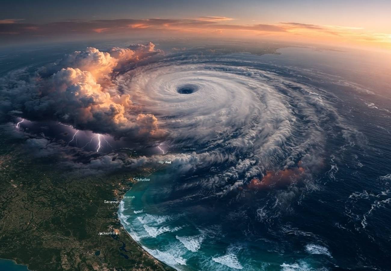
Image generated by AI
The US East Coast is entering the most volatile window of the Atlantic hurricane season, with activity traditionally peaking around September 10. While a strengthening El Niño may suppress overall storm counts, a developing tropical wave from Africa currently threatens Caribbean and US coastal corridors.
Current Tropical Activity and Regional Risks
Meteorological data indicates a well-organized tropical wave has emerged from Africa and is moving westward. AccuWeather analysts report that this system is more organized than previous disturbances this season and could potentially develop into a tropical depression within the current week.
The system's trajectory puts the Leeward Islands, Puerto Rico, and the western Atlantic under observation. While a landfall forecast is not yet in place, the timing coincides with the historical peak of tropical activity, creating significant uncertainty for travel corridors serving Georgia, Florida, the Carolinas, and Virginia.
2026 Seasonal Outlook: The El Niño Factor
A dominant climate feature of the 2026 season is the strengthening El Niño pattern in the tropical Pacific. Our analysis of NOAA’s Climate Prediction Center data confirms a 90% probability of a very strong El Niño event during the Northern Hemisphere autumn and winter of 2026-27.
This pattern typically increases vertical wind shear across the Atlantic, which inhibits the organization of tropical cyclones. Consequently, NOAA has issued the following probability breakdown for the 2026 season:
- Below-Normal Activity: 75% probability
- Near-Normal Activity: 20% probability
- Above-Normal Activity: 5% probability
Projected Storm Statistics for 2026:
- Named Storms: 7–13
- Hurricanes: 2–6
- Major Hurricanes: 0–2
Despite the "below-normal" seasonal forecast, individual storm events during the September peak can cause systemic failures in aviation and maritime logistics. Passengers should monitor the following high-risk zones:
- Primary Hubs: Major airports in Florida, Georgia, and the Carolinas are susceptible to preemptive closures or significant diversions.
- Caribbean Corridors: While conditions have been hostile to storm formation, any system surviving the transit to the western Atlantic will likely disrupt flights to Puerto Rico and the Leeward Islands.
- Cruise Itineraries: Cruise operators are currently adjusting routing to avoid the projected path of the African tropical wave.
Passenger Rights & Advisory
For the affected passenger, a "below-normal" seasonal forecast is not a guarantee of stability. Weather-related disruptions fall under specific legal and regulatory frameworks.
Flight Cancellations and Rebooking Under US DOT guidelines and EU261/2004 (for applicable flights), severe weather is generally classified as an "extraordinary circumstance." This means airlines are typically not required to pay monetary compensation for delays caused by hurricanes. However, the airline is still obligated to:
- Rebook you on the next available flight to your destination.
- Provide a full refund if the flight is canceled and you choose not to travel.
Cruise Line Contingencies Our analysis of maritime policies suggests that cruise lines have broad discretion to alter itineraries for safety. Passengers should verify if their travel insurance specifically covers "Trip Interruption" due to named storms, as standard policies may have exclusions for forecasted events.
Actionable Steps for Travelers:
- Prioritize Official Data: Ignore social media speculation. Rely exclusively on the National Hurricane Center (NHC) and NOAA updates.
- Verify Flexibility: Ensure hotel bookings in coastal Georgia or Florida are refundable or changeable up to 48 hours before arrival.
- Monitor Wind Shear: If reports indicate weakening wind shear in the western Atlantic, the probability of the current tropical wave strengthening increases significantly.
The 2026 season highlights a critical tension in travel planning: the conflict between long-term climate signals (El Niño) and short-term meteorological events. While the macro-trend suggests fewer storms, the climatological peak of September 10 remains a high-risk window.
The aviation and tourism industries have shifted toward "operational flexibility." This means instead of canceling entire schedules, operators are utilizing real-time tracking to pivot routes. For the traveler, this results in fewer total cancellations but a higher frequency of last-minute itinerary changes.
Preparedness remains the only effective hedge against Atlantic volatility.
Related Travel Guides
Disclaimer
This article is for informational and educational purposes only. It does not constitute legal, financial, or professional advice. While we strive to provide accurate and up-to-date information, travel policies, regulations, and conditions change rapidly. Always verify information with official sources before making travel decisions. Nomad Lawyer makes no representations about the accuracy, reliability, completeness, or suitability of the information provided. Readers should consult qualified professionals for advice specific to their circumstances. The views expressed in this article are those of the author and do not necessarily reflect the views of Nomad Lawyer.