Central US Faces Catastrophic Easter Weekend Weather: Multi-Day Tornado and Hail Threat Spreads
Travelers face severe peril as a violently expanding multi-day weather system unleashes severe tornado warnings, massive hail, and extreme flash flooding across the Central United States.
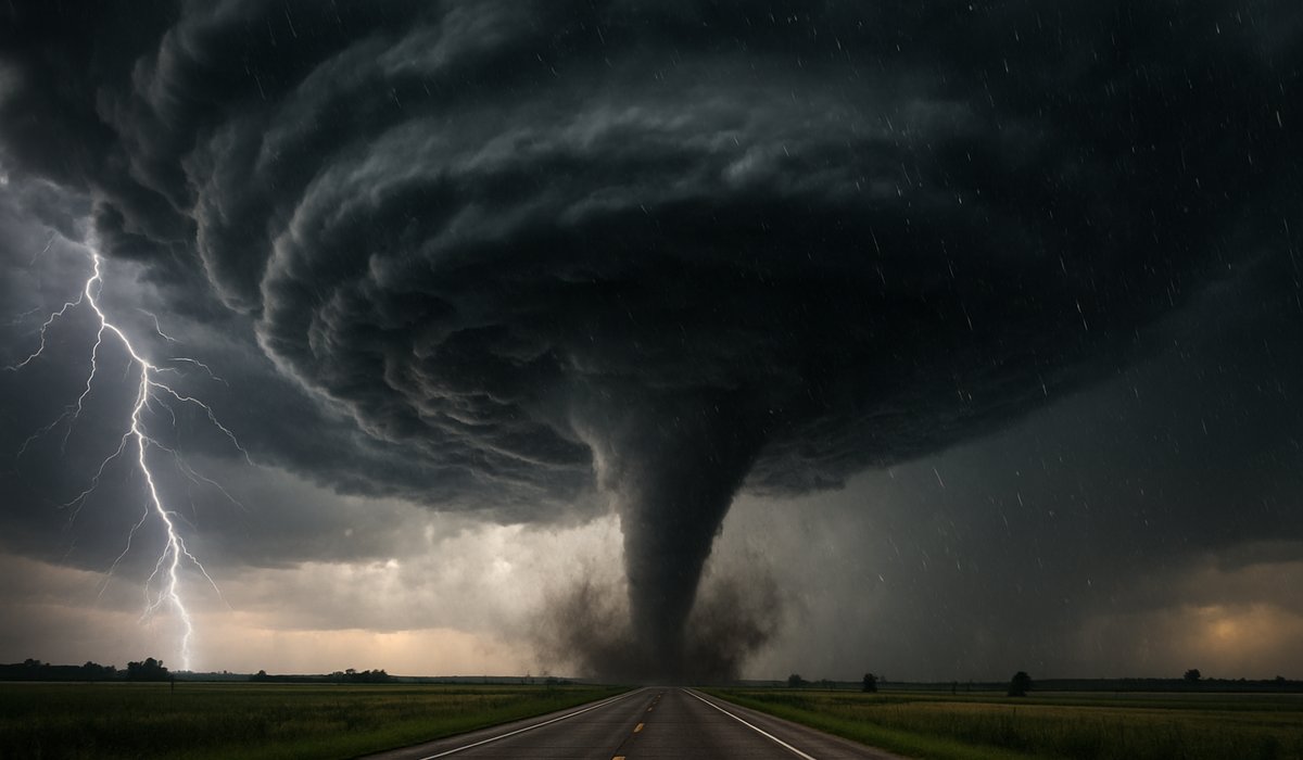
Image generated by AI
Brutal Multi-Day Storm System Tracks Relentlessly Eastward
Annihilating holiday travel schedules and triggering massive infrastructure warnings, a highly volatile, multi-day severe weather pattern has aggressively locked onto the Central United States, violently exposing Missouri, Illinois, Michigan, Indiana, and Wisconsin to extreme atmospheric destruction over the Easter weekend. As millions of Americans hit the interstate highways for family gatherings, the National Weather Service (NWS) has effectively sounded the alarm regarding the imminent, widespread threat of deadly nighttime tornadoes, catastrophic flash flooding, and vehicle-destroying hail.
The storm system is feeding ferociously off high-pressure gradients and immense atmospheric moisture sweeping up from the Gulf of Mexico. This specific thermodynamic cocktail is highly notorious for spawning "supercell" thunderstorms capable of dropping large-wedge tornadoes entirely wrapped in heavy rain, meaning highway drivers physically cannot see the tornado approaching until it is far too late to execute evasive maneuvers.
The Deadly Reality of Nighttime Severe Weather
While severe thunderstorms are a terrifying staple of the American Midwest, the explicit danger of this Easter weekend system lies in its nocturnal timing.
Weather experts are intensely warning that the most destructive rotational cells are mathematically projected to strike after sunset. Nighttime tornadoes are statistically twice as deadly as daytime events because local populations are asleep, unable to hear outdoor sirens, and frequently completely disconnected from digital emergency alerts. For travelers currently residing in unfamiliar hotels or visiting rural family homes lacking subterranean basements, the threat matrix is exponentially magnified.
Central US Severe Threat Breakdown
| State Under Threat | Primary Weather Danger | Critical Travel Consequence |
|---|---|---|
| Missouri & Illinois | Nighttime Tornadoes | Highway closures; total structural collapse danger |
| Indiana & Michigan | Flash Flooding / Severe Hail | Instant vehicle damage; roads washed out |
| Wisconsin | High Straight-Line Winds | Massive regional power outages; airport shutdowns |
What Guests Get
- Actionable storm survival psychology — understanding that an overpass is mathematically the most dangerous, deadly place to hide during a tornado while driving on an interstate.
- Meteorological baseline reality — grasping why the American Midwest specifically breeds the most violently destructive supercell storms on the entire planet during the spring.
- Travel rerouting strategy — learning how to aggressively read the radar to deliberately outrun a storm path before getting trapped entirely by downed power lines.
What This Means for Travelers
If you are driving the Central US Interstates (I-70, I-80, I-55) this weekend: You must physically turn on the Wireless Emergency Alerts (WEA) deeply embedded in your smartphone's settings. If a Tornado Warning is issued for your geographical polygon, your phone will emit a blaring, screeching alarm. Do not ignore it, and do not attempt to "out-drive" a heavy rain-wrapped storm. If a tornado is spotted while you are driving, pull over immediately, abandon the vehicle, and lie completely flat face-down in the lowest drainage ditch you can find, covering your neck.
For Aviation Passengers: Anticipate continuous "ground stops" at massive national aviation hubs such as Chicago O'Hare (ORD) and Dallas/Fort Worth (DFW). When lightning strikes within five miles of an airport, federal law mandates that all tarmac ramp workers immediately retreat indoors, completely halting all baggage loading, fueling, and aircraft pushbacks for a minimum of 30 minutes, causing massive cascading delays globally.
FAQ: Surviving Midwest Easter Storms
Can a tornado hit a major city like Chicago or Detroit? Yes. The long-standing myth that tornadoes "avoid" massive urban centers or are stopped by skyscrapers is entirely false. A powerful tornado will effortlessly carve through high-density urban geography.
Why is hail a severe threat to travel? Supercells in this Easter system are capable of producing hail the size of baseballs or grapefruits. When impacting a vehicle traveling at 70 miles per hour, deep midwestern hail will instantly shatter the windshield, blinding the driver and causing massive catastrophic pileups on the interstate.
Will flights actually be canceled for rain? Planes can easily fly through rain. However, airlines forcefully cancel flights when facing convective activity (severe thunderstorms containing immense updrafts, downdrafts, and hail) which can literally rip the wings off a commercial airliner mid-flight.
Related Travel Guides
The Highway Survival Guide: What to Do If You Drive Into a Tornado
Understanding Aviation Ground Stops: Why Your Plane Won't Move
Disclaimer
This article is for informational and educational purposes only. It does not constitute legal, financial, or professional advice. While we strive to provide accurate and up-to-date information, travel policies, regulations, and conditions change rapidly. Always verify information with official sources before making travel decisions. Nomad Lawyer makes no representations about the accuracy, reliability, completeness, or suitability of the information provided. Readers should consult qualified professionals for advice specific to their circumstances. The views expressed in this article are those of the author and do not necessarily reflect the views of Nomad Lawyer.

Raushan Kumar
Founder & Lead Developer
Full-stack developer with 11+ years of experience and a passionate traveller. Raushan built Nomad Lawyer from the ground up with a vision to create the best travel and law experience on the web.
Learn more about our team →