
Typhoon Bavi Hits Eastern China in 2026: Severe Flooding and Transport Disruptions Across 5 Provinces
Typhoon Bavi triggers red rainstorm alerts and Level Four emergency responses across eastern China, causing widespread aviation delays and railway disruptions in 2026.

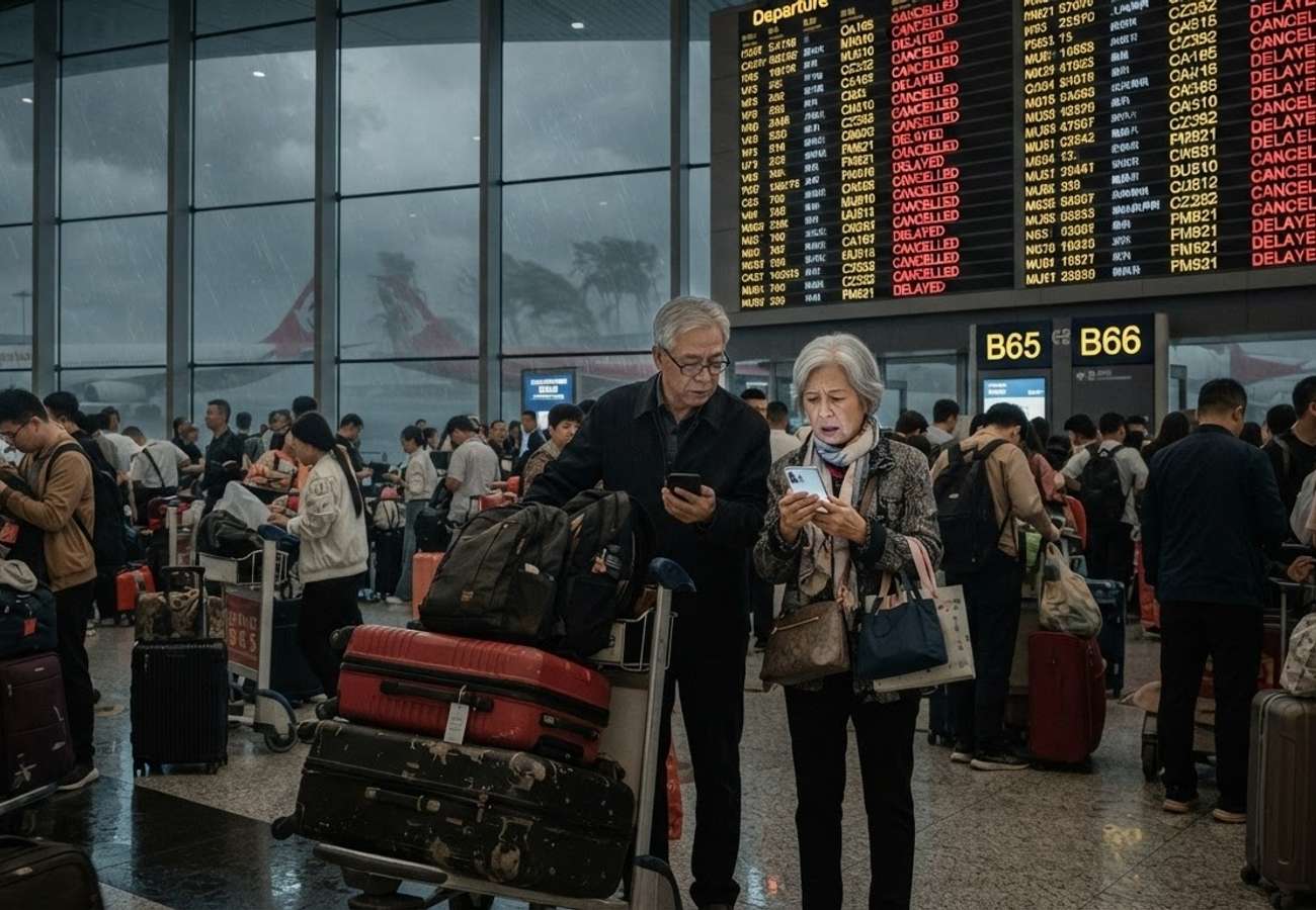
Image generated by AI
Typhoon Bavi has triggered a state of high alert across eastern China, bringing a combination of destructive winds and torrential rain that threatens to paralyze transport networks and overwhelm urban infrastructure. After crossing the western Pacific, the system made landfall in Zhejiang province, though its expansive circulation continues to push tropical moisture deep into the mainland.
The storm represents the ninth named typhoon to impact China in 2026. To manage the risk, Chinese authorities have deployed high-level warnings and emergency protocols, leaving travelers to navigate a volatile environment of fluctuating flight schedules, slowed rail services, and closed coastal attractions.
The Path of Typhoon Bavi: From Category 5 to Mainland Landfall
The storm's intensity was fueled by exceptionally warm western Pacific waters, with NASA satellite data recording sea surface temperatures near 30 degrees Celsius. This thermal energy allowed Bavi to rapidly strengthen into a Category Five tropical cyclone—one of only three such systems recorded globally in 2026. At its absolute peak, wind speeds near the center reached approximately 290 kilometers per hour as it approached Guam and the Northern Mariana Islands.
As the system tracked west, passing north of Taiwan, it began to weaken before hitting the mainland. On Saturday morning, official forecasts placed Bavi roughly 460 kilometers southeast of the provincial boundary between Zhejiang and Fujian. At that stage, maximum sustained winds were clocked at 42 meters per second (approximately 151 kilometers per hour). While the wind speeds diminished upon landfall, the storm's broad rainbands remained a primary threat to inland regions.
Government Emergency Response and Warning Tiers
In response to the approaching system, China’s State Flood Control and Drought Relief Headquarters activated a Level Four emergency response. This mandate, confirmed by the Ministry of Emergency Management, extended beyond the immediate landfall zone to include five key regions:
- Shanghai
- Jiangsu
- Anhui
- Jiangxi
- Sichuan
The National Meteorological Center utilized the national four-color warning system to communicate risk. A red rainstorm alert—the highest possible tier—was issued to signal an extremely serious rainfall threat, while an orange typhoon alert remained in effect to warn of dangerous coastal conditions and wind speeds.
Aviation and Infrastructure Impact
The intersection of high crosswinds and heavy precipitation has severely compromised airport operating capacities. Airlines have initiated preemptive flight cancellations to ensure the safety of crews and passengers, though these decisions often lead to "cascading" disruptions, leaving aircraft and crews stranded far from their scheduled bases.
Ground transport is facing similar instability:
- Railways: Operators have implemented temporary speed restrictions, particularly on elevated sections and bridges vulnerable to high winds. Flooding threatens critical signaling equipment and electrical systems.
- Road Networks: Heavy rain has increased the risk of landslides on mountain routes and created hazardous standing water on highways.
Strategic Safety Protocol for Travelers
Given the volatility of the weather, travelers are advised to prioritize official government sources over social media, which often circulate outdated imagery. Because conditions can shift between a hotel departure and airport arrival, constant monitoring is essential.
Essential Precautions:
- Connectivity: Maintain fully charged devices and download offline maps for all destinations.
- Documentation: Store passports, medications, and travel insurance documents in waterproof casings.
- Movement: Avoid all waterfront promenades, seawalls, and underground tunnels. Never attempt to drive through flooded roads, as currents can hide structural damage.
- Verification: Confirm all rail and air bookings through official platforms immediately before departing for the terminal.
Persistent Risks Beyond the Storm Center
A critical danger of Typhoon Bavi is that the threat does not vanish as wind speeds drop. The system has transported a massive volume of tropical moisture inland, which can interact with regional weather patterns to produce heavy rain in northern and northeastern China.
Flooding often lags behind the rain; rivers may rise hours or days after the storm has passed as upstream runoff reaches lower elevations. Saturated slopes also remain prone to collapse, meaning authorities may keep scenic areas and mountain roads closed even if the weather appears to have cleared.
Official Weather Data and Travel Implications
The following table outlines the specific alerts and the corresponding impact on travel operations.
| Alert Level / Metric | Official Status | Practical Travel Impact |
|---|---|---|
| Rainstorm Warning | Red (Highest) | Extreme flooding risk; likely suspension of local transport |
| Typhoon Warning | Orange (High) | Dangerous winds; coastal closures and flight delays |
| Emergency Response | Level Four | Active government intervention in 5 provinces |
| Peak Wind Speed | 290 km/h (Pacific) | Extreme structural risk (pre-landfall) |
| Landfall Wind Speed | 42 m/s (~151 km/h) | Significant wind damage and transit interruptions |
| Sea Temperature | ~30°C | Fueled rapid intensification to Category 5 |
Travelers are urged to follow evacuation orders immediately and preserve all receipts for future insurance claims.
Related Travel Guides
Disclaimer
This article is for informational and educational purposes only. It does not constitute legal, financial, or professional advice. While we strive to provide accurate and up-to-date information, travel policies, regulations, and conditions change rapidly. Always verify information with official sources before making travel decisions. Nomad Lawyer makes no representations about the accuracy, reliability, completeness, or suitability of the information provided. Readers should consult qualified professionals for advice specific to their circumstances. The views expressed in this article are those of the author and do not necessarily reflect the views of Nomad Lawyer.
Kunal K Choudhary
Co-Founder & Contributor
A passionate traveller and tech enthusiast. Kunal contributes to the vision and growth of Nomad Lawyer, bringing fresh perspectives and driving the community forward.
Learn more about our team →