
Thailand Issues Severe Monsoon Alert: 4-Metre Waves and Flash Flood Risks July 10-15 2026
Thailand warns of dangerous sea conditions and heavy rainfall from July 10-15, 2026, as a strengthened southwest monsoon threatens the Andaman Sea and Gulf of Thailand.

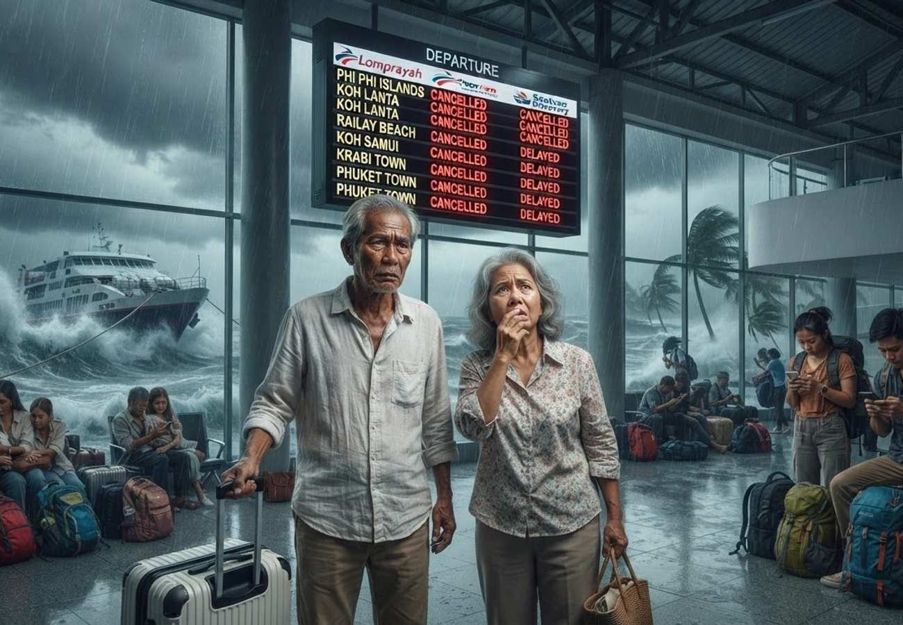
Image generated by AI
The Thai Meteorological Department (TMD) has issued a comprehensive weather advisory for the period of July 10 to July 15, 2026, warning of a significantly strengthened southwest monsoon. The system is expected to trigger hazardous maritime conditions, intense rainfall, and an elevated risk of flash floods and landslides across multiple provinces.
This alert coincides with a peak travel window, placing millions of international and domestic tourists at risk, particularly those engaged in island-hopping, diving, and ferry transit. While the region is not facing a direct hit from Typhoon Bavi, the storm's peripheral influence is intensifying the monsoon's strength, creating a volatile environment for coastal operations.
Critical Weather Forecast Data (July 10-15)
The following table outlines the primary hazards and peak periods for the current weather system.
| Weather Element | Forecast Detail |
|---|---|
| Advisory Period | July 10-15, 2026 |
| Peak Rainfall Window | July 11-14 |
| Maximum Wave Height | Up to 4 metres |
| Highest Risk Waters | Upper Andaman Sea |
| High-Risk Land Zones | South West Coast, Central West, Eastern Thailand |
| Primary Hazards | Heavy rain, rough seas, flash floods, landslides |
Maritime Hazards and Wave Projections
The Andaman Sea and the Gulf of Thailand are expected to experience severe turbulence. The TMD warns that the upper Andaman Sea is the most volatile zone, with wave heights potentially reaching four metres.
Thunderstorm activity may push wave heights even higher, creating life-threatening conditions for small craft and recreational vessels. Marine operators are being urged to conduct rigorous weather assessments before any departure.
Projected Wave Heights by Region:
| Marine Region | Expected Wave Height |
|---|---|
| Upper Andaman Sea | 2-4 metres |
| Lower Andaman Sea | 2-3 metres |
| Upper Gulf of Thailand | Approx. 2-3 metres |
| Thunderstorm Zones | Exceeding 3 metres |
Safety Directives for Vessel Operators
Due to the volatility of the sea state, the TMD has issued specific mandates for different classes of maritime traffic:
- Fishing Vessels: Advised to delay departures wherever possible.
- Tourist Operators: Must only operate following a comprehensive weather risk assessment.
- Private Boat Owners: Strongly urged to remain ashore.
- Ferry Services: Required to monitor official TMD updates in real-time to adjust schedules.
Inland Risks: Flooding and Landslides
Beyond the coast, the intensified monsoon is delivering heavy to very heavy rainfall, particularly across Thailand's western corridors. The risk of rapid runoff and overflowing waterways is high, especially between July 11 and July 14.
Vulnerable areas include mountain slopes, riverbanks, and low-lying coastal communities. Travelers trekking in mountainous regions or staying in valley-based resorts should remain vigilant for signs of landslides or sudden flash floods.
The Indirect Influence of Typhoon Bavi
Meteorologists have clarified that Typhoon Bavi is tracking toward Taiwan and eastern Fujian, China. While Thailand will not experience a direct landfall, the storm acts as a catalyst, enhancing the southwest monsoon's intensity. This "indirect effect" is responsible for the increased wind speeds and precipitation levels currently affecting the kingdom.
Regional Weather Breakdown
The impact of the monsoon varies by geography, though thunderstorms are expected nationwide.
- Southern West Coast: Most severe impact; frequent thunderstorms and dangerous seas.
- Eastern Thailand: Heavy rainfall concentrated in coastal provinces.
- Central Thailand: Persistent afternoon and evening showers.
- Northern & Northeastern Thailand: Scattered thunderstorms and isolated heavy rain.
- Bangkok Metropolitan Area: Afternoon thunderstorms with peak temperatures around 37°C.
Impact on International Tourism and Logistics
Visitors to major hubs such as Phuket, Krabi, Phang Nga, Trang, and Satun should expect significant disruptions. The tourism sector is currently adjusting operations to prioritize safety over scheduling.
Expected Disruptions:
- Island Transfers: Frequent delays or cancellations of speedboats and ferries.
- Marine Activities: Temporary bans on snorkeling, diving, and sightseeing excursions.
- Coastal Logistics: Potential restrictions on beach access in high-surf zones.
Travelers are advised to maintain flexible itineraries and ensure their travel insurance covers weather-related disruptions.
Stay informed and prioritize safety over sightseeing during this volatile weather window.
Related Travel Guides
Disclaimer
This article is for informational and educational purposes only. It does not constitute legal, financial, or professional advice. While we strive to provide accurate and up-to-date information, travel policies, regulations, and conditions change rapidly. Always verify information with official sources before making travel decisions. Nomad Lawyer makes no representations about the accuracy, reliability, completeness, or suitability of the information provided. Readers should consult qualified professionals for advice specific to their circumstances. The views expressed in this article are those of the author and do not necessarily reflect the views of Nomad Lawyer.
Kunal K Choudhary
Co-Founder & Contributor
A passionate traveller and tech enthusiast. Kunal contributes to the vision and growth of Nomad Lawyer, bringing fresh perspectives and driving the community forward.
Learn more about our team →