
Missouri Flash Flood Emergency 2026: National Weather Service Data Reveals Survival Lessons for Campgrounds in Iron and Reynolds Counties
Analysis of the 1-in-1,000-year flash flood event in southeastern Missouri, detailing critical rescue operations by the Reynolds County Sheriff's Office and essential safety protocols for river-corridor campers.

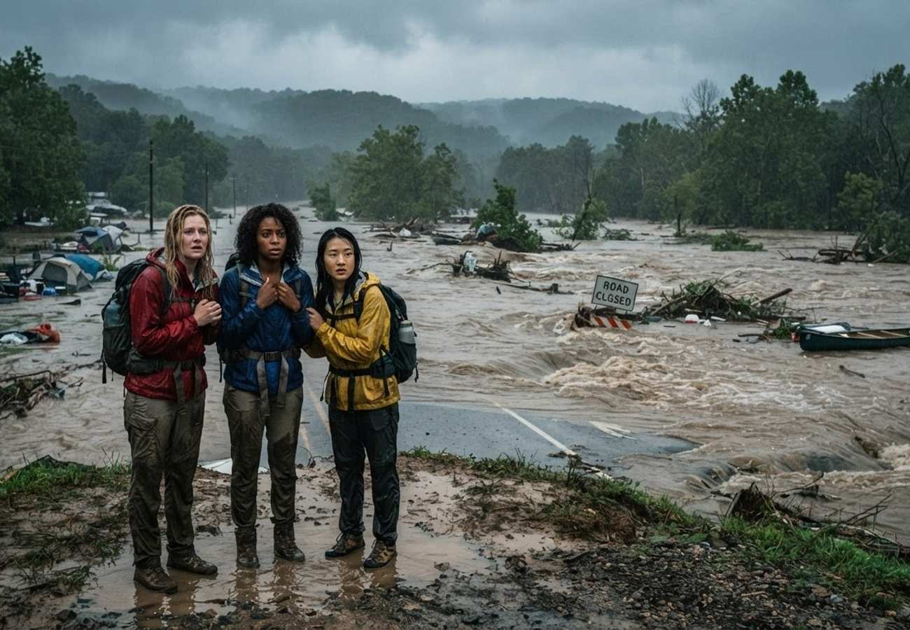
Image generated by AI
A rare meteorological anomaly in southeastern Missouri has triggered a Flash Flood Emergency, forcing dozens of campers into desperate survival situations as the Black River breached critical levels.
The event, characterized by a slow-moving storm system stalling over Iron and Reynolds counties, transformed peaceful campsites into hazardous zones within hours. This incident serves as a primary case study for transit and outdoor logistics, demonstrating how quickly saturated topography can eliminate land-based evacuation routes.
The Hydrological Data: A 1-in-1,000-Year Event
Data from the National Weather Service (NWS) St. Louis indicates that the region experienced a concentrated deluge of 6 to 12 inches of rain. A monitoring station near Redmondville recorded a peak of 12.25 inches within a single 24-hour window.
Hydrologists have classified this as a 1-in-1,000-year flood event, meaning there is only a 0.1% probability of such an occurrence in any given year. The rapid rise of the Black River near Annapolis was the most critical factor for those on the ground; the river exceeded its 8-foot flood stage and peaked near 20 feet, more than doubling its safe depth in a matter of hours.
Rescue Logistics and Emergency Response
Official logs from the Reynolds County Sheriff’s Office and Central County 911 Dispatch highlight the extreme measures required for survival when standard exits were submerged. Sheriff Caleb McCoy reported that emergency crews rescued approximately 50 people, though the operation was hampered by violent currents.
The rescue effort faced significant equipment failure: four boats were knocked out of service due to punctures from floating debris, mechanical failures, and one capsizing incident that threw three first responders into the water.
Survival Locations Identified in Official Logs:
| Location | Survival Method / Refuge | Official Source |
|---|---|---|
| Lesterville Campgrounds | Tree canopy ascent | Central County 911 Dispatch |
| Black River Lodge | Facility rooftops | Reynolds County Emergency Coordinator |
| Iron County Outskirts | Mobile home and cabin roofs | Chief Deputy Jordan Otwell |
| Bearcat Getaway | High ground evacuation | Local Emergency Services |
Infrastructure Status and Transit Restrictions
The Missouri Department of Transportation (MoDOT) and the Missouri Department of Natural Resources implemented immediate closures of key assets to prevent further casualties.
Current Asset Status Table:
| Impacted Asset | Official Status | Impact on Travelers |
|---|---|---|
| Johnson’s Shut-Ins State Park | Inundated / Closed | High-risk zone; no access |
| Taum Sauk Mountain State Park | Inundated / Closed | Access roads blocked by runoff |
| Camp Taum Sauk (Private) | Secured / Roads Flooded | Roads impassable; occupants moved |
| Iron County Highways | Closed | MO 143, MO 21, MO 49, Routes C, F, K, N (under 5ft water) |
| Centerville Bridge | Closed | Black River Bridge overtopped by water |
For those displaced or stranded, the Lesterville R-IV School District has established a temporary emergency shelter within its main school building.
Traveler Logistics Guide: River-Corridor Safety
Navigating river-adjacent camping requires a shift in logistics from "convenience" to "survival readiness." Based on the 2026 Missouri event, travelers should implement the following protocols:
1. Digital Alert Integration Do not rely on general weather apps. Subscribe to NWS "Flash Flood Emergency" alerts specifically. A "Watch" indicates a possibility, but an "Emergency" indicates that catastrophic flooding is actively occurring.
2. Site Selection and Topography Mapping When booking campsites near the Black River or similar corridors, identify the nearest "high ground" point before pitching a tent. Do not assume the road you arrived on will remain passable.
3. The "Gear Abandonment" Rule In a rapid-rise scenario, the time spent packing a caravan or tent can be the difference between survival and entrapment. If water begins to encroach on the campsite, abandon non-essential gear immediately and move to a designated high-point.
4. Vehicle Transit Safety MoDOT guidelines emphasize that 12 inches of rushing water can sweep away a small vehicle. Never attempt to cross flooded roads, regardless of vehicle size, as the roadbed beneath the water may have been washed away.
Infrastructure Impact Assessment
This event underscores the vulnerability of regional transit networks in the Ozarks and southeastern Missouri. The simultaneous failure of multiple state highways (MO 143, MO 21, MO 49) and the overtopping of the Centerville Bridge demonstrate that traditional infrastructure is not designed for 1-in-1,000-year hydrological events.
The total closure of Johnson’s Shut-Ins and Taum Sauk Mountain State Parks indicates a significant temporary loss in regional tourism capacity and a need for revised runoff management in state park planning to ensure safer evacuation corridors for future visitors.
Prioritize altitude over assets when the water begins to rise.
Related Travel Guides
Disclaimer
This article is for informational and educational purposes only. It does not constitute legal, financial, or professional advice. While we strive to provide accurate and up-to-date information, travel policies, regulations, and conditions change rapidly. Always verify information with official sources before making travel decisions. Nomad Lawyer makes no representations about the accuracy, reliability, completeness, or suitability of the information provided. Readers should consult qualified professionals for advice specific to their circumstances. The views expressed in this article are those of the author and do not necessarily reflect the views of Nomad Lawyer.
Raushan Kumar
Founder & Lead Developer
Full-stack developer with 11+ years of experience and a passionate traveller. Raushan built Nomad Lawyer from the ground up with a vision to create the best travel and law experience on the web.
Learn more about our team →