
Beyond the Famous Shot: What Mexico's Most Photographed Landmarks Are Actually Hiding
Mexico's most photographed landmarks — Chichén Itzá, Tulum, Hierve el Agua, El Arco, and Peña de Bernal — are drawing millions of visitors in 2026, but the villages, cenotes, mezcal routes, marine ecosystems, and wine regions surrounding each site are reshaping how travelers are choosing to spend their time in the country.

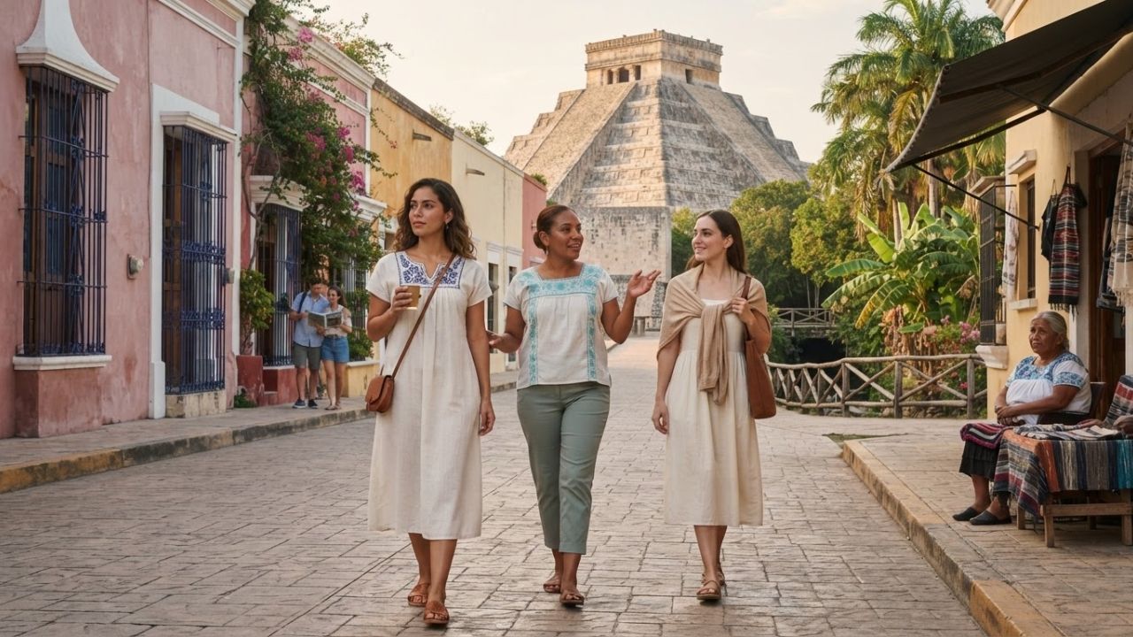
Image generated by AI
Five of Mexico's most photographed landmarks — Chichén Itzá, Hierve el Agua, Tulum, El Arco, and Peña de Bernal — are generating deeper regional itineraries in 2026, with travelers increasingly using iconic sites as entry points into Maya heritage corridors, mezcal-producing valleys, marine ecosystems, and wine country rather than treating them as single-stop photo opportunities.
The photograph brings travelers to the destination. What surrounds it can give them a reason to stay. Across Mexico's most iconic locations, a pattern is emerging: the famous image captures one moment, but the towns, cenotes, communities, and landscapes within reach of each landmark are where longer, richer journeys take shape.
Chichén Itzá and Valladolid: The Pyramid as Gateway Into Eastern Yucatán
The Pyramid of Kukulcán at Chichén Itzá is among the world's most immediately recognizable archaeological structures. The ancient Maya city extends far beyond its signature pyramid — the Great Ball Court, Temple of the Warriors, and Sacred Cenote are all part of the same archaeological zone — yet the instinct for many visitors remains to arrive, photograph, and depart.
The city of Valladolid, approximately 45 kilometres from Chichén Itzá, is shifting that pattern. Colourful streets, traditional neighbourhoods, a vibrant local food scene, and deep Maya cultural connections make Valladolid a compelling base for exploring eastern Yucatán rather than a secondary stop. The former Convent of San Bernardino de Siena and Cenote Zací — a striking open cenote within walking distance of the city centre — are among its most visited sites.
From Valladolid, travelers can continue northeast toward Ek Balam, a Maya archaeological site that draws far fewer crowds than Chichén Itzá but preserves some of the best-maintained stucco sculptural work in the Yucatán Peninsula. The effect of this reframing is direct: instead of a day trip to one pyramid, visitors are building multi-day itineraries across a historically dense corridor of Maya civilization.
Hierve el Agua Opens the Oaxacan Valleys to Mezcal, Weaving, and Ancient Sites
Hierve el Agua produces one of the most unusual landscapes in all of Mexico. Its mineral-rich formations — resembling frozen waterfalls — cascade dramatically over the mountains of Oaxaca, the product of calcium-saturated spring water depositing sediment over geological timescales. The site has earned a strong reputation as a photographic destination.
What many visitors miss is that Hierve el Agua sits within a Central Valley cultural corridor that connects some of Oaxaca's most important communities. The Caminos del Mezcal route passes through Santa María del Tule — home to one of the world's widest trees — Teotitlán del Valle, Tlacolula, Mitla, and Santiago Matatlán.
Each stop on that corridor carries its own identity. Teotitlán del Valle is recognized across Mexico for traditional textile weaving, with workshops where natural dyes and hand-operated looms produce rugs and blankets using techniques passed down across generations. Tlacolula's weekly market is one of the region's most authentic, drawing locals from surrounding villages for food, produce, and goods. Mitla contains some of the most geometrically sophisticated pre-Hispanic stone mosaic work in Mesoamerica. Santiago Matatlán — the self-declared world capital of mezcal — introduces travelers to agave cultivation and traditional distillation practices at the source.
Hierve el Agua, positioned at the end of this corridor, functions best not as a standalone destination but as the final stop on a valley journey that begins in Oaxaca city and moves through living communities where food, craft, and ancient heritage are inseparable.
Tulum's Caribbean Ruins Lead to Lagoons, Wildlife, and Protected Biosphere Territory
Tulum delivers the image that has defined Mexican coastal tourism for a generation: ancient Maya structures perched directly above turquoise Caribbean water. The archaeological zone at Tulum is among the most-visited in Mexico, and the combination of sea and ruins creates a scene that reproduces endlessly across travel media.
Travelers who exit the archaeological zone and return directly to the beach road, however, see only one layer of what the wider destination holds.
Parque del Jaguar has broadened the Tulum experience by integrating walking paths, cycle routes, and access to the natural landscape surrounding the ruins — positioning the destination as a place for extended time rather than a quick circuit around the archaeological site.
The Museo de la Costa Oriental provides historical and cultural context that the ruins alone cannot fully communicate. Its collections covering the history of the eastern Quintana Roo coast give travelers a framework for understanding the Maya presence across the Caribbean coastline.
Beyond the immediate Tulum area, the site of Muyil — located within the Sian Ka'an Biosphere Reserve — offers Maya ruins accessible by boat through a lagoon-and-canal system that moves through wetlands, mangroves, and tropical forest. Sian Ka'an, a UNESCO World Heritage Site, protects one of Mexico's most significant ecosystems: a 5,280-square-kilometre territory combining tropical forests, coastal lagoons, and a barrier reef section that supports jaguar, manatee, and hundreds of bird species.
Tulum's famous photograph shows ruins and sea. The destination behind it contains one of the country's most ecologically significant protected areas.
El Arco Marks the Start of Los Cabos' Marine Landscape, Not Its End
El Arco — the granite arch that rises from the water at Land's End on the southern tip of the Baja California Sur peninsula — has become the defining image of Los Cabos. Boat excursions carry visitors toward the formation to take the photograph that every visitor to the region recognizes before arriving.
The surrounding sea is the destination itself, not simply its backdrop. The waters around Land's End and along the Los Cabos coastline support an active marine tourism offering: kayaking, paddleboarding, snorkelling, and scuba diving are all established activities in the area. A sea lion colony around the rocky outcrops near El Arco makes close encounters with wildlife a realistic part of any boat trip. Between December and April, whale watching in the waters off Baja California Sur draws additional visitors, with grey whales and humpbacks regularly observed in the region.
Lover's Beach — accessible only by boat and wedged between the Pacific Ocean and the Sea of Cortez at the very tip of the peninsula — provides another stop in proximity to the arch. The contrast between the calm Gulf side and the Pacific surf on the other is a geographic experience unique to Land's End.
On land, Cabo San Lucas provides marina access, beaches, and an active hospitality and restaurant scene. Traveling northeast along the Los Cabos corridor toward San José del Cabo introduces a quieter historic town with art galleries, a weekend market, and a mission-era church at its center. El Arco, seen from this perspective, is not the final attraction. It is the visual marker that identifies where the marine landscape of southern Baja begins.
Peña de Bernal Anchors a Wine and Artisan Food Corridor Through Querétaro
Peña de Bernal rises above the Pueblo Mágico of Bernal in Querétaro state with an authority that dominates every view of the town. The monolith — one of the largest freestanding rock formations in the world — gives Bernal its identity and draws visitors in large numbers. The photograph from the town square, with the rock filling the sky behind the church, is the image that most travelers come to take.
Looking away from the Peña reveals a town of narrow stone streets, textile workshops, handicraft markets, and traditional food. Hiking trails and climbing routes on the rock itself attract active travelers who want to ascend rather than simply photograph.
The wider regional context adds an unexpected dimension. Bernal sits within Querétaro's Art, Cheese and Wine Route — a touring circuit connecting the Pueblo Mágico with active vineyards, artisan cheese producers, and the town of Tequisquiapan, known for its wine market and handcraft traditions. The state of Querétaro is among the most active wine-producing regions in central Mexico, a fact that surprises visitors who arrive expecting only the geological spectacle of the monolith.
According to Mexico's official tourism promotion body, VisitMéxico, the Querétaro wine corridor has been growing steadily as a travel product, with producers offering estate visits and tastings that connect travelers to a wine culture most do not associate with Mexico.
A trip that begins with one photograph of an enormous rock can end with a working understanding of Mexican viticulture and artisan food production — two of the country's fastest-growing travel draws.
What This Pattern Means for Travelers Planning a Mexico Visit in 2026
For anyone building a Mexico itinerary this year, the pattern across all five landmarks carries a practical message: each famous site is most rewarding when treated as a regional entry point rather than a destination with a defined end.
The distances involved are manageable. Valladolid is 45 kilometres from Chichén Itzá. The Caminos del Mezcal villages are a day's drive through the Oaxacan Central Valleys. Sian Ka'an's lagoons are accessible by road and boat from Tulum. San José del Cabo is a short drive from El Arco. Tequisquiapan is within easy reach of Bernal.
What changes is the trip's structure. Instead of building an itinerary around the photographs — with each landmark as a self-contained stop — travelers are increasingly choosing to base themselves in towns near the famous sites and move outward into the surrounding region. That approach produces longer stays, higher spending per trip, and a more varied experience than a single visit to a landmark allows.
From a practical standpoint, this also means Mexico's most visited destinations are developing supporting infrastructure — accommodation, guided experiences, transport, food, and cultural programming — in towns and areas that were previously considered secondary. Valladolid, Teotitlán del Valle, Tulum town, and San José del Cabo are all developing more mature tourism offerings that function independently of the landmarks that made their surrounding areas famous.
FAQ: Mexico's Iconic Landmarks and What Lies Beyond Them in 2026
What is near Chichén Itzá that's worth visiting? Valladolid, approximately 45 kilometres from Chichén Itzá, offers colourful streets, the Convent of San Bernardino de Siena, Cenote Zací in the city centre, and access to the Ek Balam archaeological site — making it an ideal base for exploring eastern Yucatán beyond the pyramid.
What can travelers do near Hierve el Agua in Oaxaca? The Caminos del Mezcal route connects Hierve el Agua with Teotitlán del Valle (traditional weaving), Tlacolula (local markets), Mitla (archaeological site), and Santiago Matatlán (agave and mezcal production). Travelers can combine the mineral formations with a full day or more in the Oaxacan Central Valleys.
Is there more to Tulum than the ruins? Parque del Jaguar, the Museo de la Costa Oriental, the Muyil archaeological site, and the Sian Ka'an Biosphere Reserve — a UNESCO World Heritage Site covering 5,280 square kilometres of tropical forests, lagoons, and reef ecosystems — all sit within reach of Tulum's archaeological zone.
What should travelers do beyond photographing El Arco in Los Cabos? The waters around Land's End support kayaking, paddleboarding, snorkelling, and diving. A sea lion colony inhabits the rocky outcrops near the arch, and whale watching operates seasonally from December through April. Lover's Beach and the historic town of San José del Cabo extend the destination well beyond the rock formation itself.
Related Travel Guides
Disclaimer
This article is for informational and educational purposes only. It does not constitute legal, financial, or professional advice. While we strive to provide accurate and up-to-date information, travel policies, regulations, and conditions change rapidly. Always verify information with official sources before making travel decisions. Nomad Lawyer makes no representations about the accuracy, reliability, completeness, or suitability of the information provided. Readers should consult qualified professionals for advice specific to their circumstances. The views expressed in this article are those of the author and do not necessarily reflect the views of Nomad Lawyer.
Preeti Gunjan
Contributor & Community Manager
A passionate traveller and community builder. Preeti helps grow the Nomad Lawyer community, fostering engagement and bringing the reader experience to life.
Learn more about our team →