
Lithuania Deploys ArcGIS GIS Mapping to Manage Tourism Pressure on UNESCO Curonian Spit in 2026
Lithuania is implementing a sophisticated ArcGIS Online GIS framework to monitor visitor flows and mitigate environmental degradation across the UNESCO-listed Curonian Spit.

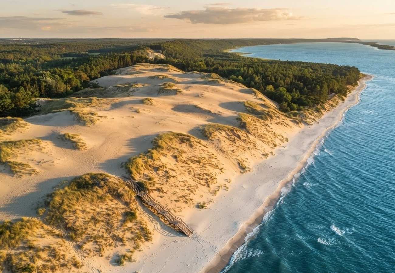
Image generated by AI
Lithuania is transitioning the Curonian Spit toward a rigorous, data-driven tourism management model in 2026 to protect its fragile UNESCO-listed ecosystem. By integrating ArcGIS Online mapping and centralized GIS databases, authorities in Neringa and Klaipėda are moving beyond simple attendance counts to analyze real-time spatial pressure on sensitive landscapes.
The shift comes as a response to significant visitor concentrations. In 2025, automatic counters recorded 315,092 visits across six primary monitored attractions, revealing a stark imbalance in how tourists distribute themselves across the narrow peninsula.
Strategic Shift Toward Geographic Intelligence in Neringa and Klaipėda
The technological evolution on the Curonian Spit has moved past basic digital utilities like SMS contributions or online entry payments. The current priority is the construction of a structured digital architecture designed to inform environmental policy.
Under the Curonian Spit National Park Administration’s 2026 Activity Plan, the park is mandated to execute comprehensive visitor monitoring, with all findings presented via an ArcGIS Online map. The administration has set a strict target to maintain 100% of this data as current, with full implementation slated for completion by the fourth quarter of 2026.
This transition transforms raw visitor numbers into geographic data. Rather than relying on annual totals, managers can now map movement patterns, compare peak usage periods, and align infrastructure decisions with the actual physical pressure exerted on the dunes, forests, and beaches. This is critical for a UNESCO-listed site where limited space creates constant friction between recreation and conservation.
National GIS Framework for Protected-Area Intelligence
The local efforts in the Curonian Spit are supported by a broader national mandate from the State Service for Protected Areas under Lithuania’s Ministry of Environment. A new national visitor-monitoring methodology now requires all protected-area data to be funneled into a centralized state database powered by ArcGIS Online.
This framework allows for the seamless combination of statistical totals and spatial mapping. To ensure the data is actionable, the methodology mandates updates at least once per month, depending on the volume of traffic.
To prevent "dirty data" from influencing policy, the state has implemented strict quality controls:
- Calibration: Automatic counters must undergo at least 30 hours of observation per season to ensure accuracy.
- Error Correction: Individual error coefficients are applied to mechanical and electronic counters.
- Unique Visitor Estimation: For linear attractions with a single entry and exit point, recorded movements are typically divided by two to account for the same individual entering and leaving the site.
Mapping Tourism Imbalances Across Six Key Sites
The necessity of this GIS-led approach is evident when examining the 2025 dataset. A January 2026 review of visitor flows showed that demand is heavily concentrated in a few "hotspots" rather than spread evenly across the park.
The following table details the distribution of the 315,092 recorded visits across the six monitored locations:
| Monitored Curonian Spit Attraction | Recorded 2025 Visits | Share of Six-Site Total |
|---|---|---|
| Parnidis Dune | 169,057 | 53.7% |
| Nagliai Nature Reserve educational trail | 70,252 | 22.3% |
| Cormorant and grey heron colony viewpoint | 40,516 | 12.9% |
| Vecekrugas Dune | 15,343 | 4.9% |
| Preila Dune | 13,603 | 4.3% |
| Avikalnis viewpoint | 6,321 | 2.0% |
| Total | 315,092 | 100% |
Data indicates that July and August are the peak months for traffic. It should be noted that the low figure for Avikalnis is partly due to technical failures; monitoring at that location only functioned from August through December.
The most striking finding is that Parnidis Dune alone attracted over half of all recorded visitors. Combined with the Nagliai Nature Reserve, these two sites accounted for approximately 76% of the total footfall. This disparity proves that while total visitor numbers may seem manageable, specific ecological zones are under extreme recreational pressure.
Operationalizing Data at Nagliai Nature Reserve
The Nagliai Nature Reserve serves as a primary example of how data translates into physical visitor controls. To prevent the destruction of sensitive sandy habitats, the park implemented a regulated visiting season starting April 17 and ending October 18, with hours adjusted based on the season.
To streamline management and discourage overcrowding, the site has adopted a cashless system. Adult admission is priced at €5, with a reduced rate of €2 for students and pensioners, payable only via bank card. While this is not yet a real-time "dynamic quota" system linked to the ArcGIS map, it represents the first phase of a smarter management chain: combining measured demand with regulated access and electronic payment.
Expanding Digital Interpretation and Behavioral Tools
Beyond monitoring, Lithuania is deploying technology to influence visitor behavior. The 2026 Activity Plan includes the rollout of multi-language audio guides (covering three languages) at the visitor center exhibition and the Nagliai Nature Reserve educational trail, with completion expected by the end of the year.
Furthermore, the national monitoring guidelines now prioritize digital surveys. QR codes are being installed at observation towers, nature schools, and along trails to collect data on visitor expectations and satisfaction. This allows the administration to understand not just where people are going, but why they are visiting and how they perceive the restrictions.
For the financial sustainability of these efforts, the park continues to utilize digital payment channels for its voluntary visitor ticket, which costs €1 for a single entry or €5 for a 30-day pass.
Why This Matters: The Impact on the Modern Traveler
For the visitor, the transition to a GIS-managed destination means that the "wild" experience of the Curonian Spit is becoming increasingly curated. The move toward digital surveys and audio guides suggests a future where visitors may be nudged in real-time toward less crowded areas to protect the environment.
From a logistical standpoint, the shift to mandatory card payments and regulated hours at sites like Nagliai means travelers can no longer rely on spontaneous, cash-based visits. The integration of ArcGIS Online suggests that in the near future, we may see public-facing "congestion maps" that allow tourists to avoid crowds, similar to how urban commuters track traffic.
Ultimately, this is a blueprint for how UNESCO sites can survive the "Instagram effect"—where a few specific viewpoints (like Parnidis Dune) bear the brunt of global tourism while the rest of the landscape remains underutilized. By turning footfall into spatial intelligence, Lithuania is attempting to save the landscape from the very people who come to admire it.
The Curonian Spit is evolving from a passive nature reserve into a digitally monitored ecosystem.
Related Travel Guides
Disclaimer
This article is for informational and educational purposes only. It does not constitute legal, financial, or professional advice. While we strive to provide accurate and up-to-date information, travel policies, regulations, and conditions change rapidly. Always verify information with official sources before making travel decisions. Nomad Lawyer makes no representations about the accuracy, reliability, completeness, or suitability of the information provided. Readers should consult qualified professionals for advice specific to their circumstances. The views expressed in this article are those of the author and do not necessarily reflect the views of Nomad Lawyer.
Raushan Kumar
Founder & Lead Developer
Full-stack developer with 11+ years of experience and a passionate traveller. Raushan built Nomad Lawyer from the ground up with a vision to create the best travel and law experience on the web.
Learn more about our team →