
Greece Integrates Archaeological Sites and Protected Zones into National Cadastre Mapping System to Advance Greece Cultural Heritage Protection and Streamline Travel Infrastructure: New Update
Greece launches a unified digital map integrating the Archaeological Cadastre with the National Cadastre, safeguarding cultural heritage and simplifying tourism investment.

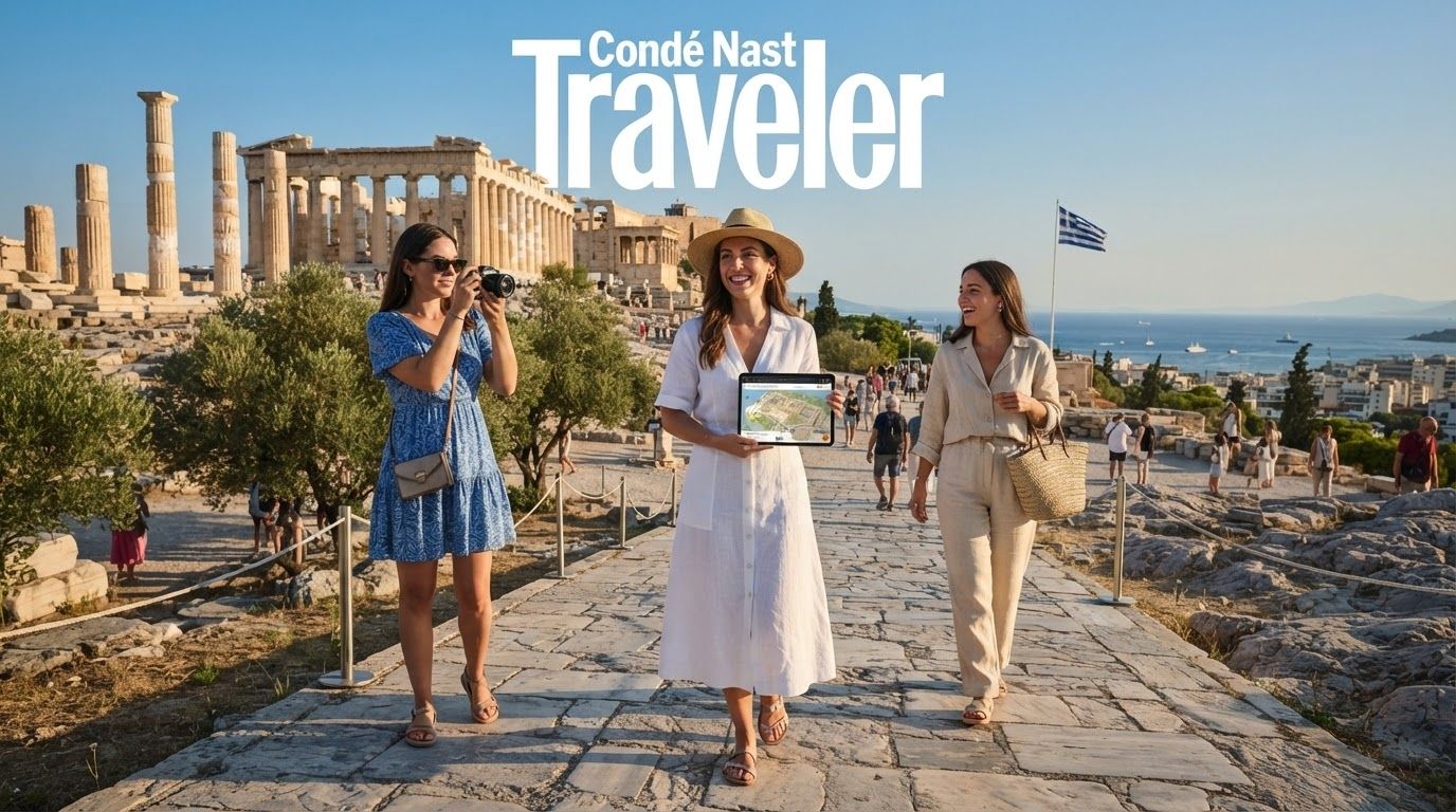
Image generated by AI
Published on July 16, 2026
Greece is launching a major digital initiative that integrates its ancient monuments, museums, and historical landmarks directly into the national land-registration database. This inter-ministerial program aims to elevate Greece cultural heritage protection to a highly accurate geospatial standard by linking archaeological records with property ownership datasets. The development will impact property buyers, developers, and hospitality investors, who will now be able to identify archaeological restrictions and protected zones early in the planning process.
:::info Quick Summary
- Unified National Map: The initiative integrates the Archaeological Cadastre into the geospatial framework of the Hellenic Cadastre, which currently covers 99% of the country.
- Massive Asset Registry: The system documents descriptive and geographic data for over 17,000 immovable monuments, thousands of historical sites, 844 protection zones, and 220 museums.
- Property Defenses: Using National Cadastre Code Numbers (KAEK), the Ministry of Culture will map its holdings to prevent encroachment and illegal occupation of public heritage land.
- Simplified Approvals: Planners, lawyers, and builders can access a unified system to verify building restrictions and zoning regulations before starting construction or purchasing parcels.
- Cloud Migration: In June 2026, the Hellenic Cadastre migrated its core databases and applications to the Greece Government Cloud to enhance system security and service availability. :::
Context and Background: The Goals of the Greece Cultural Heritage Protection Upgrade
To strengthen historical preservation and modernize public administration, Greece is establishing closer cooperation among three key organizations: the Ministry of Culture, the Ministry of Digital Governance and Artificial Intelligence, and the Hellenic Cadastre. Historically, archaeological databases, administrative registries, and property maps operated on separate systems, forcing officials to manually cross-reference files.
By placing cultural heritage records on the same geospatial foundation used for property registration, the government aims to advance Greece cultural heritage protection while resolving inconsistencies. This digital modernization ensures that public officials, surveyors, and private individuals can view clear boundaries showing where historic zones overlap with legally registered land parcels.
Event/Incident Details: The Three Pillars of the Geospatial Integration
The cooperative framework between the ministries is structured around three primary developmental pillars:
- Precision Mapping of Archaeological Sites: Using the Hellenic Cadastre’s orthophoto maps—highly accurate aerial photos corrected for scale and perspective—and KAEK property codes, the official Archaeological Cadastre portal will map historical zones directly to individual land parcels.
- Documenting Public Cultural Assets: Every property managed or owned by the Ministry of Culture will receive a corresponding KAEK identifier, establishing a secure record to defend public heritage lands against conflicting ownership claims or illegal encroachment.
- Zoning Boundary Standardisation: The initiative systematically maps the legal boundaries of monument surrounds and designated Protection Zones A and B, which are officially established through ministerial decrees in the Government Gazette and dictate building limits.
At present, the digital registry successfully hosts detailed descriptions and locations for 17,000 immovable monuments, thousands of archaeological locations, 844 protection zones, and 220 museums across Greece.
Risk/Impact: Regulatory Challenges and Operational Hurdles
While the system promises long-term efficiency, the transition phase presents several risks and structural challenges:
- Data Incompatibilities: Joint technical working groups must resolve conflicting data formats and differing mapping standards between separate historical registries.
- Strict Construction Scrutiny: Properties located inside or adjacent to Protection Zones A and B face rigid construction restrictions, and more visible boundaries mean immediate flagging of non-compliant projects.
- Administrative Approvals Still Mandatory: Although the digital system simplifies boundary checks, it does not bypass the legal requirement to obtain formal permits from cultural authorities before starting development.
What Authorities Are Saying: Institutional Alignment and cloud Modernization
According to joint announcements from the participating ministries, the project marks a significant shift for the Hellenic Cadastre as it transitions from a simple property registry into a multi-functional geospatial tool. Government officials highlighted that the transfer of all cadastral applications and databases to the Greece Government Cloud in June 2026 provides the secure, resilient infrastructure needed to support this integration.
Technical experts clarify that joint working groups will establish strict, unified data specifications. The goal is to create a dynamic, interconnected environment where property and historical records update automatically and remain consistent across all government departments.
Practical Traveler Advice: Guidance for Investors and Developers
- Check the Portal Before Land Acquisition: Investors looking to build boutique hotels, resorts, or transport infrastructure should consult the integrated cadastral map to identify any overlapping historical boundaries early.
- Identify Protection Zones A and B: Confirm the zoning status of any target plot, as these designations carry differing levels of restriction on construction, building height, and land use.
- Verify KAEK Identifiers: Ensure that any property transaction includes a verified National Cadastre Code Number to avoid boundary discrepancies or future encroachment claims by cultural authorities.
- Expect Detailed Bureaucratic Checks: Despite the streamlined mapping, budget extra time in development schedules for formal archaeological sign-offs when building near historical settlements.
Broader Context: Heritage Conservation in the Digital Era
The integration program represents a key step in Greece's cultural digital transformation. As one of the world's premier tourism destinations, Greece face the constant challenge of balancing modern economic growth with the preservation of its ancient landscape. By establishing a shared reference map where modern land ownership and antiquities co-exist, the state aims to protect its cultural resources while supporting responsible spatial planning.
What to Expect Next / Looking Ahead: Future Public Services
Moving forward, the ministries plan to design new user-friendly digital tools that make the Archaeological Cadastre more accessible to the general public. While a specific launch date for these new public services has not been announced, the technical integration process will continue as joint working groups align data formats. This digital alignment will pave the way for simplified building-permit procedures and more transparent property transfers across Greece.
Conclusion: Coordinating Modern Growth and Ancient Preservation
Greece’s transition to a single, unified map for land registration and historical preservation represents a landmark achievement in public administration. This upgrade to Greece cultural heritage protection ensures that the nation's ancient monuments are clearly defined and protected within modern property systems. By utilizing advanced geospatial technology and cloud-based services, Greece is successfully showing how modern land development and the defense of antiquities can work hand-in-hand.
FAQ: Frequently Asked Questions
What is the goal of the new Greece digital heritage integration?
The program aims to link the Archaeological Cadastre with the National Cadastre mapping system, creating a single geospatial database that displays monuments, historical sites, and protected zones alongside registered land parcels.
How does this project support Greece cultural heritage protection?
By associating monuments and protected zones with unique property identification codes (KAEK), the system helps cultural authorities protect historical sites, prevent encroachment on state property, and manage conservation efforts effectively.
What properties are currently registered in the Greek Archaeological Cadastre?
The database currently contains geospatial and descriptive records for over 17,000 immovable monuments, thousands of historical sites, 844 protection zones, and 220 museums.
How does the system affect property development and tourism investment?
The unified map allows developers and investors to identify archaeological restrictions and zoning limits early, reducing transaction uncertainties and helping streamline the processing of building permits near historic sites.
What technical upgrade took place in June 2026 to support this system?
In June 2026, the Hellenic Cadastre migrated all its systems, data, and applications to the Greece Government Cloud to improve security, operational resilience, and the availability of its services.
Related Travel Guides
- Tivoli Hotels Unveils Palazzo 1880 Lecce to Redefine Luxury Travel in Italy, Opening a Five-Star Baroque Cultural Retreat in Puglia: New Travel Alert
- MSC Cruises Expansion Drives Record Fleet Growth and New Caribbean Ports, Opening Alaska and Global Markets: Latest Update
- Asia Tourism Boom Reshapes Global Travel with Focus on Culinary Tourism, Local Spirits, and Authentic Culture, Urging Visitors to Respect Regional Customs: Everything You Need to Know
Disclaimer
This article is for informational and educational purposes only. It does not constitute legal, financial, or professional advice. While we strive to provide accurate and up-to-date information, travel policies, regulations, and conditions change rapidly. Always verify information with official sources before making travel decisions. Nomad Lawyer makes no representations about the accuracy, reliability, completeness, or suitability of the information provided. Readers should consult qualified professionals for advice specific to their circumstances. The views expressed in this article are those of the author and do not necessarily reflect the views of Nomad Lawyer.
Kunal K Choudhary
Co-Founder & Contributor
A passionate traveller and tech enthusiast. Kunal contributes to the vision and growth of Nomad Lawyer, bringing fresh perspectives and driving the community forward.
Learn more about our team →