The Colorado River Headwaters Byway Is One of the State's Prettiest Drives
Explore the 80-mile Colorado River Headwaters Byway through Grand Lake, Gore Canyon, and Hot Sulphur Springs. Plan your
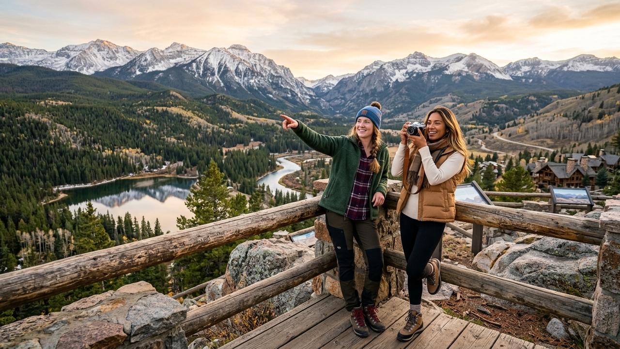
Image generated by AI
Colorado River Headwaters Byway Route Guide: 80-Mile National Scenic Drive Through Mountain Towns, Alpine Lakes, and Gore Canyon Features
GRAND LAKE, Colorado — Travelers are increasingly targeting the Colorado River Headwaters Byway, an 80-mile National Scenic Byway that cuts through Colorado's high country, linking alpine lakes, historic communities, and dramatic canyon overlooks. The route spans from Highway 34, located north of Grand Lake, to State Bridge, providing a comprehensive corridor for experiencing the headwaters of the Colorado River while accessing diverse outdoor recreation. Industry reports indicate the drive involves significant elevation changes and partially paved backroads, making it a premier destination for visitors seeking scenic beauty and adventure in towns such as Grand Lake, Granby, and Kremmling.
National Scenic Byway Designation and Route Overview
The distinction of "National Scenic Byway" represents a rigorous classification awarded by the U.S. Secretary of Transportation, a title held by only 13 routes within Colorado alongside the higher "All-American Roads" category. The Colorado River Headwaters Byway received this official designation in 2005, recognizing its exceptional cultural, scenic, and recreational value. The corridor follows the southward flow of the river, which originates at the Continental Divide within Rocky Mountain National Park. While the river is widely recognized for its whitewater rafting reputation, the byway offers a distinct ground-level perspective of the water source and the surrounding topography.
The route covers a total distance of 80 miles, connecting major population centers and recreational hubs across varying elevations. Without stopping, the drive requires between two and three hours to complete; however, the primary purpose of the scenic byway necessitates multiple stops to fully appreciate the landscape. The road traverses through Grand Lake, Granby, Hot Sulphur Springs, Parshall, and Kremmling, serving as a vital artery for regional tourism and local commerce.
Grand Lake Anchors the Western Terminus of the Byway
The journey begins in the northeast at Grand Lake, a waterfront community situated at an elevation of 8,369 feet on the shores of the eponymous body of water. Grand Lake is the largest natural lake in the state and serves as the western gateway to Rocky Mountain National Park, making it a strategic starting point for exploration. Sprague Lake, located in Grand Lake, marks a significant landmark at the route's origin. Visitors can spend one or two nights in the area to acclimate to the altitude and prepare for high-elevation activities.
The Grand Lake region offers extensive opportunities for fishing, canoeing, and rafting. Shadow Mountain Reservoir, which connects directly to Grand Lake, provides prime conditions for anglers and boaters. Lake Granby, located just outside the town of Granby, is another highly regarded destination for water-based recreation. Travelers often make a pit stop in Granby for dining or choose to extend their stay overnight to take advantage of favorable weather conditions for fishing. The concentration of water bodies in this sector underscores the area's importance as a hub for aquatic sports and scenic viewing.
Route Traverses Granby, Hot Sulphur Springs, and Kremmling
As the byway continues south, it passes through a series of mountain towns that offer unique amenities and access to natural resources. Granby acts as a central point where drivers can refuel and rest before proceeding toward the springs. The route then leads to Hot Sulphur Springs, a community named for its thermal resources. Here, travelers can pause their journey to relax in the pools at the Hot Sulphur Springs Resort and Spa, offering a distinct contrast to the rugged mountain environment.
Following Hot Sulphur Springs, the drive moves through Parshall and into Kremmling. Kremmling holds strategic importance due to its proximity to three major national forests: Routt, White River, and Arapaho. This access makes the town a popular base for hikers, anglers, and off-road enthusiasts seeking multi-use recreation. The presence of these national forests amplifies the byway's appeal, drawing visitors who wish to transition from scenic driving to backcountry exploration. The corridor effectively links these communities, creating a continuous loop of services and attractions that supports the regional economy.
Trough Road Delivers Gore Canyon Views Near State Bridge
After navigating through Kremmling, the route shifts onto Trough Road, which leads to the final destination at State Bridge. This segment of the byway presents more challenging driving conditions. The road is partially paved and features a series of hairpin turns that require careful navigation. Despite the rough surface, industry observers note that the payoff for drivers is substantial. The road climbs to Inspiration Point, a vantage point that provides jaw-dropping views of the Colorado River and the deep Gore Canyon.
State Bridge marks the completion of the Colorado River Headwaters Byway. The location offers direct access to the river, where visitors can rent paddleboards and spend time on the water. The river flows directly through the town, reinforcing the connection between the scenic drive and the aquatic experience. The contrast between the rough backroad conditions of Trough Road and the reward of the canyon views highlights the adventurous nature of this specific portion of the route.
Elevation Shifts and Seasonal Accessibility Define the Drive
The Colorado River Headwaters Byway is characterized by dramatic topographical changes. The route experiences a total elevation change of 1,700 feet, dropping and rising as it follows the river through the mountain terrain. This elevation profile contributes to the driving experience and the variety of views encountered along the 80-mile stretch. The significant altitude shifts also influence weather patterns and road conditions.
Due to winter weather in Colorado, the byway is best driven during the spring, summer, or early fall. Snow and ice can make travel hazardous during colder months, limiting accessibility. Officials advise travelers to monitor seasonal conditions closely and plan visits during the recommended windows to ensure safety and optimal visibility. The timing of the drive affects not only road accessibility but also the availability of water-based activities, which are dependent on snowmelt and temperature.
Economic and Tourism Impact of the Scenic Corridor
The byway plays a critical role in the regional economy by channeling tourism through multiple municipalities. The steady influx of visitors supports local businesses in Grand Lake, Granby, Hot Sulphur Springs, and Kremmling, which rely on revenue from lodging, dining, fishing charters, and retail. The National Scenic Byway designation encourages the preservation of the natural landscape while promoting sustainable tourism practices that balance access with conservation.
Infrastructure maintenance remains a priority for local authorities. The partially paved sections, such as Trough Road, require careful upkeep to manage wear while protecting the environment. The synergy between the byway and the nearby national forests creates a multi-use recreation zone that attracts a diverse demographic of outdoor enthusiasts. This combination of scenic driving, water sports, and forest access ensures the corridor's continued relevance as a cornerstone of Colorado's tourism infrastructure.
Future Outlook for the Colorado River Headwaters Byway
The Colorado River Headwaters Byway remains a vital link for visitors exploring the headwaters of the Colorado River and the western side of Rocky Mountain National Park. As tourism demand evolves, focus is likely to remain on maintaining the rugged character of the route while enhancing visitor facilities at key points like Sprague Lake and State Bridge. The corridor's unique mix of alpine lakes, historic towns, and canyon overlooks ensures its status as a premier scenic drive. Travelers are encouraged to plan visits during the spring, summer, or early fall, allowing them to safely navigate the 80-mile route and fully experience the natural grandeur of the region.
Related Travel Guides
-
Aeroflot Moscow Baku Flight SU1854: Emergency Landing at Sheremetyevo
-
2027 Club Winter Sale Fuels Global Travel Deal Surge in March 2026
Disclaimer: All information is obtained from reliable flight tracking and news sources and is subject to change.

Preeti Gunjan
Contributor & Community Manager
A passionate traveller and community builder. Preeti helps grow the Nomad Lawyer community, fostering engagement and bringing the reader experience to life.
Learn more about our team →