
Baja California Establishes Standardised Hiking Trails for Adventure Tourism
Baja California is developing a network of 20 standardised hiking trails to support outdoor recreation and environmental protection.
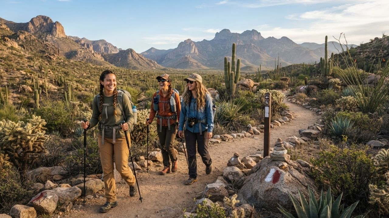
Image generated by AI
Developing a network of 20 standardised hiking routes with unified state identity systems, Baja California is structuring its outdoor tourism sector to protect fragile desert and mountain ecosystems.
The Core Transit Update
Regional overland transit corridors and pedestrian routes in northwest Mexico are integrating under a unified recreation framework. Baja California's tourism authorities have introduced a structured system to mark, equip, and maintain tourist trails.
The network includes routes such as Nawapa N’Piy Waamp, Mis Tiós, Mat Kiñush – Tierra Bonita, Mat Kuatey – Cerro Grande, El Pacífico, Parque Metropolitano, and La Rumorosa. By updating the Manual of Identity for the System and Equipment of Official State Trails, the state establishes uniform criteria for signage and difficulty ratings, helping channel visitor traffic away from sensitive habitats to designated public paths.
Hiking Trails & Management Standards
Planning a backcountry trek in Mexico requires verifying route markers and understanding trail parameters. The following tables outline selected standardised hiking routes and detail the state management standards.
| Stated Hiking Route Name | Principal Terrain / Location | Difficulty Rating / Traveler Level | Primary Safety & Signage Status |
|---|---|---|---|
| Mat Kuatey – Cerro Grande | Highland geological peak | Intermediate to advanced physical prep | Standardised state markers installed |
| La Rumorosa Route | Mountain pass cliffs | Advanced route planning | High-wind signage and guide recommended |
| Parque Metropolitano | Peri-urban valley | Beginner-friendly trail | Standardised route signage complete |
| El Pacífico | Coastal cliffside | Intermediate hikers | Path marked to prevent habitat erosion |
| Mat Kiñush – Tierra Bonita | Desert scrub terrain | Beginner to intermediate | Water supply indicators installed |
| Nawapa N’Piy Waamp | Mountain ridge path | Technical / Advanced hikers | Registered guide system advised |
Selected standardised hiking routes in Baja California's 20-trail network.
| Trail Management Standard | Stated Operational Requirement | Strategic Environmental / Safety Role |
|---|---|---|
| Manual of Identity | Consistent markers & equipment rules | Standardises info across all municipal zones |
| Habitat Channeling | Hikers must remain on marked paths | Minimizes disturbance to desert wildlife |
| Guide Certification | Registered through Mexico's tourism system | Ensures professional navigation on remote ridges |
| Visitor Resources | Official state trail registry database | Helps travelers plan routes by difficulty |
Baja California trail standardisation and safety criteria.
Traveler Logistics Guide
From a ground-level perspective, the best way to navigate this is to download the route maps from the official Baja California tourism portal's standardized trails section before you leave municipal centers, as mobile coverage is highly irregular in the canyons and desert valleys. Checking real-time weather conditions is recommended.
To plan your outdoor adventure:
- Allow Safe Transit Windows: Backcountry trails are distant from city hubs. Allow extra driving time when traveling to trailheads near La Rumorosa or Cerro Grande.
- Observe Mandatory Gear Rules: Always pack at least four liters of drinking water, energy-rich food, sunscreen, first-aid equipment, a headlamp, and a fully charged backup battery.
- Hire Certified Guides: For challenging technical trails like Nawapa N’Piy Waamp, hire a guide officially registered with Mexico’s federal tourism system (SECTUR) to ensure safe navigation.
- Observe Leave No Trace Codes: Keep all waste with you. Do not collect rocks, native flora, or archaeological materials; respect the fragile desert environment.
Infrastructure Impact Assessment
The development of standardised state trailheads and the training of certified regional guides protect remote rural communities from economic isolation.
By directing traveler spending to local transport shuttles, countryside restaurants, and certified guide services near the trail networks, the outdoor program supports employment, funds trail maintenance, and spreads the tourism footprint away from urban coastal cities.
Related Travel Guides
Disclaimer
This article is for informational and educational purposes only. It does not constitute legal, financial, or professional advice. While we strive to provide accurate and up-to-date information, travel policies, regulations, and conditions change rapidly. Always verify information with official sources before making travel decisions. Nomad Lawyer makes no representations about the accuracy, reliability, completeness, or suitability of the information provided. Readers should consult qualified professionals for advice specific to their circumstances. The views expressed in this article are those of the author and do not necessarily reflect the views of Nomad Lawyer.