
10 Best Adirondacks and New England Road Trips Reddit Travelers Recommend in 2026
Explore 10 spectacular road trips connecting New York's Adirondacks and New England curated by Reddit travelers in 2026, featuring alpine notches, glacial lakes, and mountain byways.

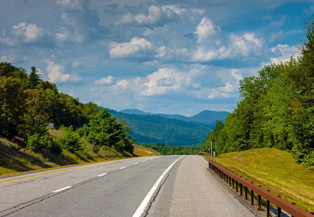
Scenic highway heading north into the vast wilderness of the Adirondack High Peaks
Bridging the six-million-acre granite wilderness of upstate New York's Adirondack Park with the emerald notches and coastal highlands of New England, the northeastern corridor offers some of North America's most rewarding touring routes. Spanning ancient boreal forests, glacial mountain notches, historic car ferries, and historic 19th-century mountain villages, this vast region allows road-trippers to link rugged mountain peaks with rolling farm valleys in a single continuous journey. By stepping away from high-speed interstates and linking historic state routes, motorists can experience the profound geological transition between the Appalachian mountain chain and the ancient Canadian Shield.
Reddit travel forums like r/roadtrip, r/Adirondacks, and r/NewEngland emphasize that the real secret to mastering this trans-regional drive lies in thoughtful route pacing. Experienced travelers recommend trading rigid daily schedules for flexible drives that include historical cable-car ferries across Lake Champlain, scenic toll summit ascents, and unpaved mountain gaps.
Here are the 10 best Adirondacks and New England road trip routes recommended by community travelers for the 2026 travel season.
Adirondacks and New England Road Trip Route Comparison
| Route & Region | Key Corridors & Ferry Connections | Distance & Pacing | Standout Landscape Highlight | Best Season & Travel Advice |
|---|---|---|---|---|
| 1. High Peaks to Champlain Traverse (NY & VT) | NY-73 to Essex Ferry & VT-7 | 120 miles (2–3 Days) | Cascade Pass cliffs & Keene Valley granite summits | Late June – Mid Oct; book Lake Placid lodging early for summer weekends |
| 2. Whiteface Mountain Summit Climb (NY) | NY-86 to NY-431 Memorial Highway | 45 miles (1 Day) | 4,867-ft alpine summit & Lake Placid aerial views | Mid-May – Early Oct; check toll summit operating hours before driving up |
| 3. Lake Champlain Scenic Circuit (NY & VT) | NY-22 / VT-22A & Charlotte Ferry | 145 miles (2 Days) | 120-mile freshwater inland sea & lakeside apple orchards | June – Late Oct; ride the Charlotte-Essex ferry during sunset for golden water reflections |
| 4. Green Mountain Spine Crossing (VT) | VT-125 Middlebury Gap & VT-100 | 95 miles (1–2 Days) | 2,149-ft mountain notch & mossy Texas Falls | Late July – Mid Oct; lower your gears on steep eastern notch descents |
| 5. The Mohawk Trail & Berkshires (MA & VT) | MA-2 & US-7 Historic Corridor | 115 miles (2 Days) | Iconic Hairpin Turn & Deerfield River forested gorge | May – Late Oct; visit Shelburne Falls Bridge of Flowers in morning light |
| 6. White Mountains Notch Run (NH) | US-3 Franconia Notch & NH-112 Kancamagus | 85 miles (1–2 Days) | Towering Cannon Cliff & Kancamagus Pass foliage | Late June – Mid Oct; depart Lincoln before 8:30 AM on autumn weekends |
| 7. Central Adirondack Lake Chain (NY) | NY-28 Old Forge to Long Lake | 110 miles (2 Days) | Blue Mountain Lake & untouched boreal waterways | June – Early Oct; stop at the Adirondack Experience Museum on Blue Mountain |
| 8. Olympic Trail & Saranac Loop (NY) | NY-3 & NY-86 Historic Olympic Byway | 90 miles (1–2 Days) | Lower Saranac Lake islands & High Falls Gorge | Late May – Late Oct; rent canoes at Saranac Lake for midday water detours |
| 9. Lakes to Locks Historical Route (NY & VT) | NY-9N Lake George to Ticonderoga | 80 miles (1–2 Days) | Tongue Mountain narrows & historic Fort Ticonderoga | June – Mid Oct; navigate tight shore curves along Lake George with caution |
| 10. Rangeley Lakes & Western Maine Loop (ME) | ME-17 Height of Land & ME-4 | 130 miles (2–3 Days) | Sweeping Height of Land overlook & Mooselookmeguntic Lake | July – Mid Oct; scan roadside marshes for feeding moose during dawn and dusk |
1. High Peaks to Lake Champlain Traverse (New York Route 73 to Vermont)
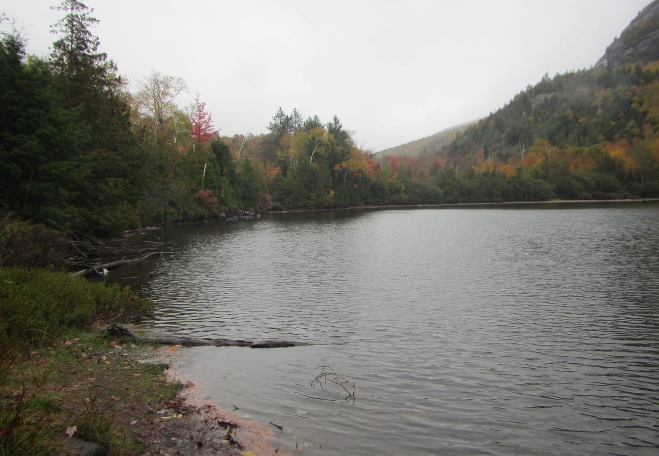 Keene Valley nestled beneath the towering granite summits of the High Peaks along Route 73
Originating off Interstate 87 near Underwood and sweeping northwest into the heart of the High Peaks Wilderness, New York Route 73 is universally celebrated on Reddit as one of the most majestic mountain corridors in the eastern United States. The highway threads between towering vertical granite walls flanking the Upper and Lower Cascade Lakes, carving past roadside waterfalls, narrow rock-climbing crags, and sweeping vistas of Keene Valley.
After soaking in the alpine atmosphere of Lake Placid—host of the 1932 and 1980 Winter Olympic Games—turn eastward along Route 9N toward the historic hamlet of Essex. Here, board the year-round Lake Champlain Ferry, which carries vehicles across open waters directly into Charlotte, Vermont. The 20-minute crossing offers uninterrupted views of New York's High Peaks receding behind you while Vermont's Green Mountains rise directly ahead, creating an unforgettable boundary-crossing between the two great mountain ranges.
2. Whiteface Mountain Veterans Memorial Highway (New York Route 431)
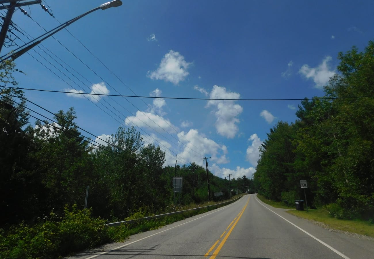 The engineered asphalt turns of Route 431 ascending toward the stone summit castle on Whiteface Mountain
Branching north from Wilmington along Route 86, the Whiteface Mountain Veterans Memorial Highway (NY Route 431) climbs 2,300 vertical feet over five engineered miles to an elevation of 4,612 feet. Dedicated in 1935 by Franklin D. Roosevelt to honor fallen soldiers of World War I, this historic toll road winds through evergreen boreal forest before opening into subalpine alpine tundra.
The road terminates at a parking turnout beside the historic stone Castle built from native anorthosite rock. From the terminus, motorists can either ride a 424-foot elevator carved directly through the mountain's solid granite core or hike a narrow ridge trail up the final 267 feet to the 4,867-foot summit. On clear atmospheric days, summit observers can see across the entire Champlain Valley into Vermont, north across the Saint Lawrence River into Montreal, Canada, and west across dozens of shimmering Adirondack lakes.
3. Lake Champlain Scenic Byway & Ferry Circuit (New York & Vermont)
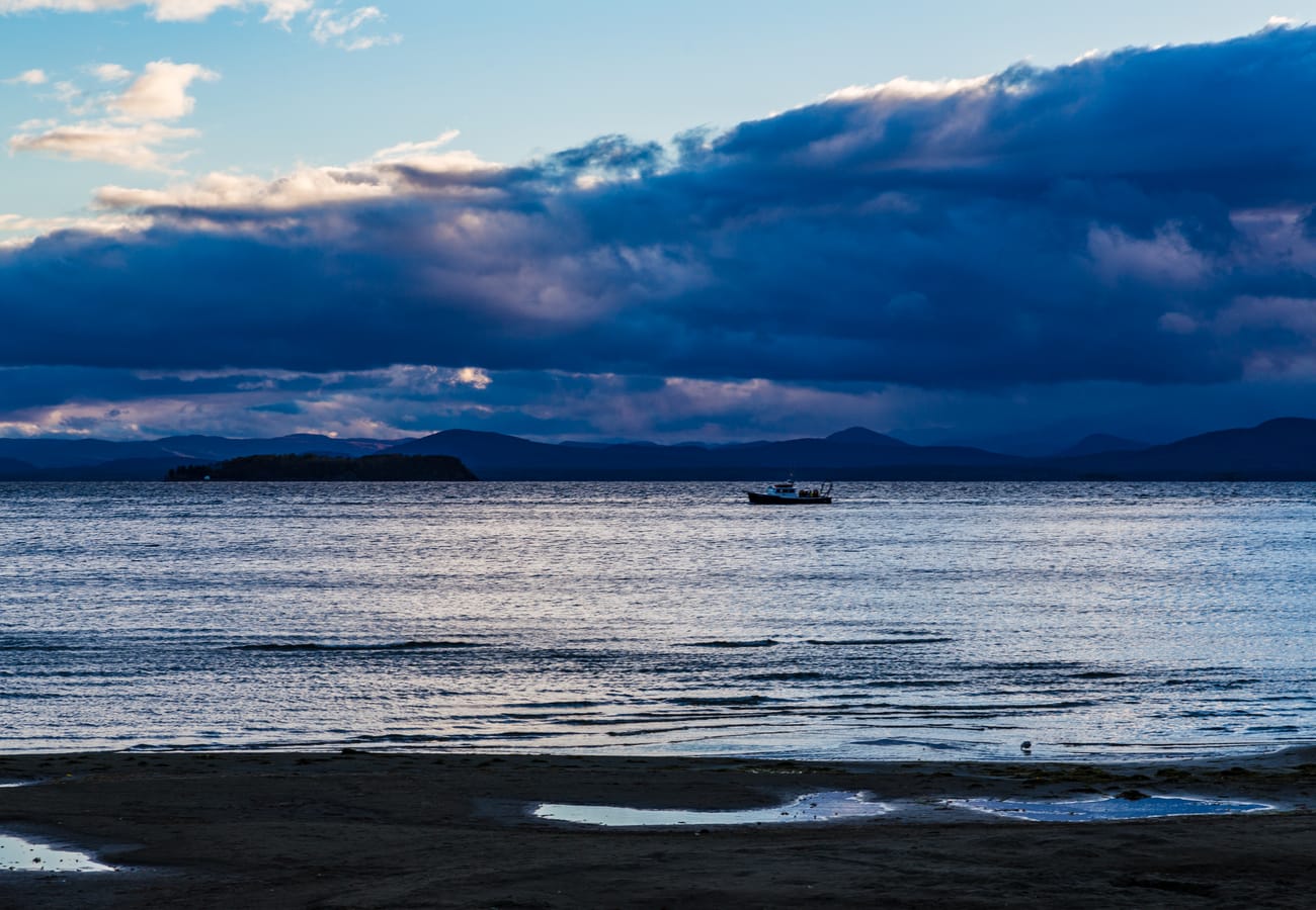 Broad waters of Lake Champlain framed by distant mountains on the Vermont and New York border
Lake Champlain serves as the grand natural boundary separating upstate New York from western Vermont, spanning over 120 miles from Whitehall north into Quebec. Rather than driving around the ends of the lake, community road-trippers recommend crafting a circuit that pairs lakeside country highways with scenic ferry runs operated by the Lake Champlain Transportation Company.
Start along New York's Route 22 through fertile Champlain Valley farmland, stopping at historic Crown Point State Historic Site where 18th-century French and British fortress ruins overlook the narrowest point of the lake. Cross the modern Lake Champlain Bridge into Chimney Point, Vermont, and trace Route 22A and Route 7 northward through Vergennes and Shelburne. This gentle drive highlights working dairy homesteads, craft cideries, and sweeping vistas across blue water toward the Adirondack skyline.
4. Green Mountain Spine & Middlebury Gap (Vermont Route 125 & Route 100)
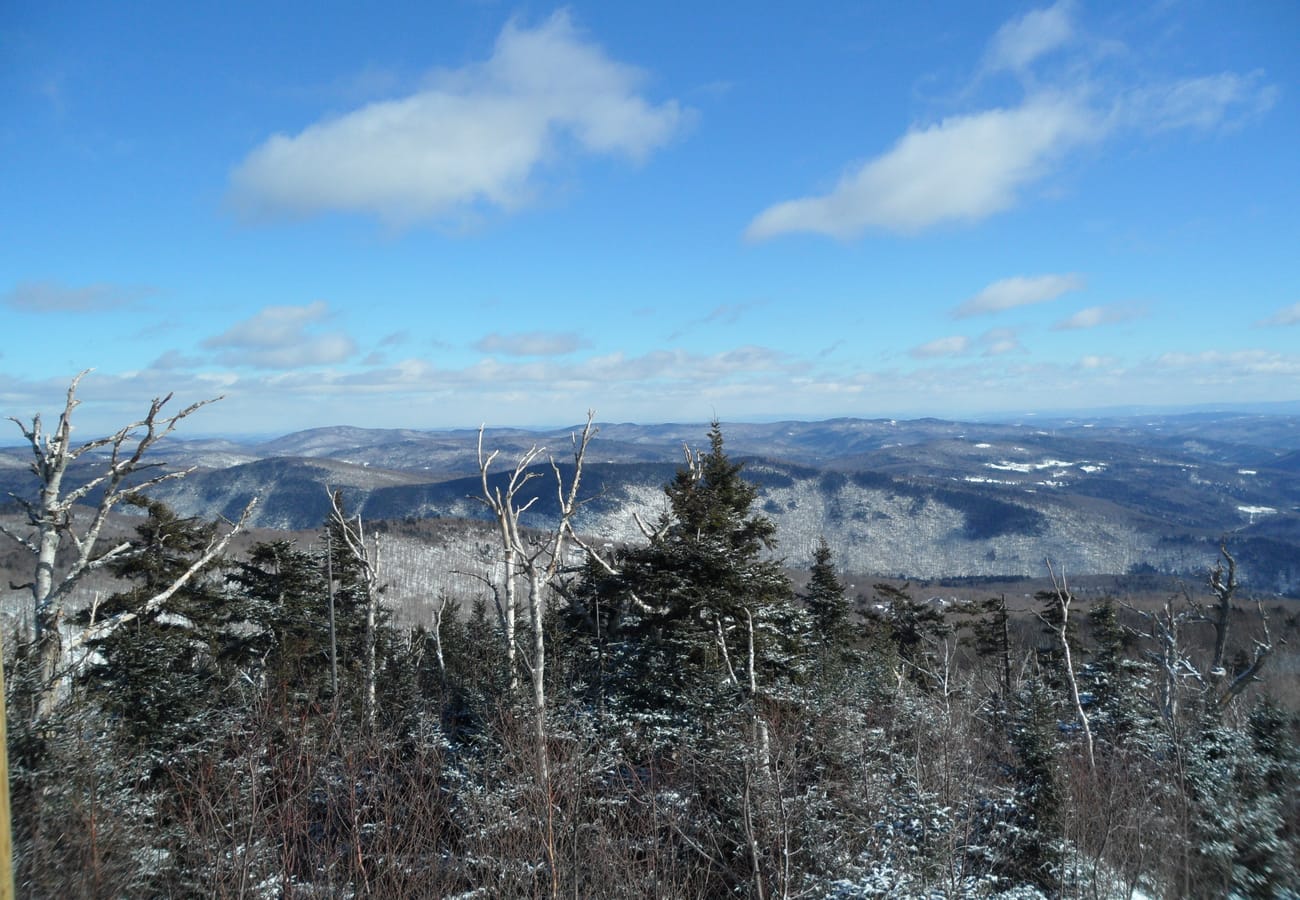 Panoramic rolling ridges across the Green Mountains along the scenic Vermont Route 100 corridor
After traversing Lake Champlain into Middlebury, journey east along Vermont Route 125 through Middlebury Gap (2,149 ft) to connect with Vermont's legendary Route 100. The highway weaves through the Green Mountain National Forest, climbing steadily past the historic Bread Loaf campus of Middlebury College and the Robert Frost Interpretive Trail where the poet penned many of his classic works.
Near the pass crest, pull over at Texas Falls Recreation Area, where glacial meltwater carved deep swirling potholes and chutes through ancient metamorphic schist rock. Dropping down into Hancock, the road links directly with Route 100, celebrated as the "Skiers' Highway." Running south toward Killington and Woodstock, Route 100 features quintessential Vermont scenes: red wooden barns, covered timber bridges, and crystal-clear mountain streams flowing beside unhurried rural blacktop.
5. The Mohawk Trail & The Berkshires Corridor (Massachusetts Route 2)
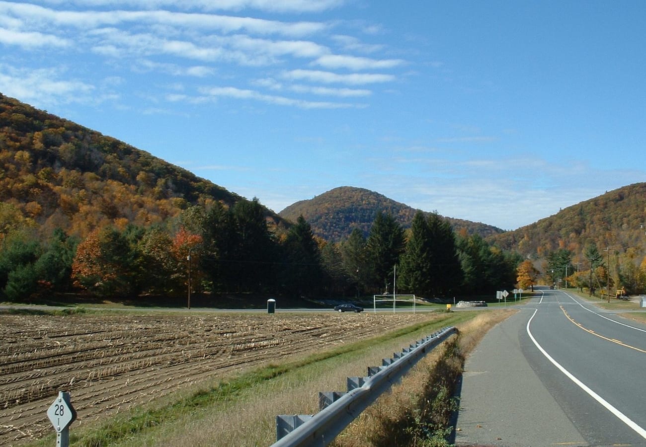 Scenic curves along the historic Mohawk Trail passing through the Berkshire foothills in Massachusetts
Originally blazed as an indigenous footpath connecting the Hudson and Connecticut river valleys, Massachusetts Route 2—known as the Mohawk Trail—became America's first officially designated scenic automobile byway in 1914. Running from Williamstown in the Berkshire Hills eastward through North Adams and Charlemont, this highway provides the ideal southern link between the Adirondack foothills and southern New England.
The route's definitive engineering marvel is the Hairpin Turn near the crest of Hoosac Mountain, offering panoramic multi-state views across Massachusetts, Vermont, and southern New York. Continuing east along the Deerfield River, drivers pass rushing whitewater rapids and historic sites like Shelburne Falls, where the community-tended Bridge of Flowers spans a repurposed trolley aqueduct bursting with seasonal blooms.
6. Franconia Notch & The Kancamagus Highway (New Hampshire Route 112)
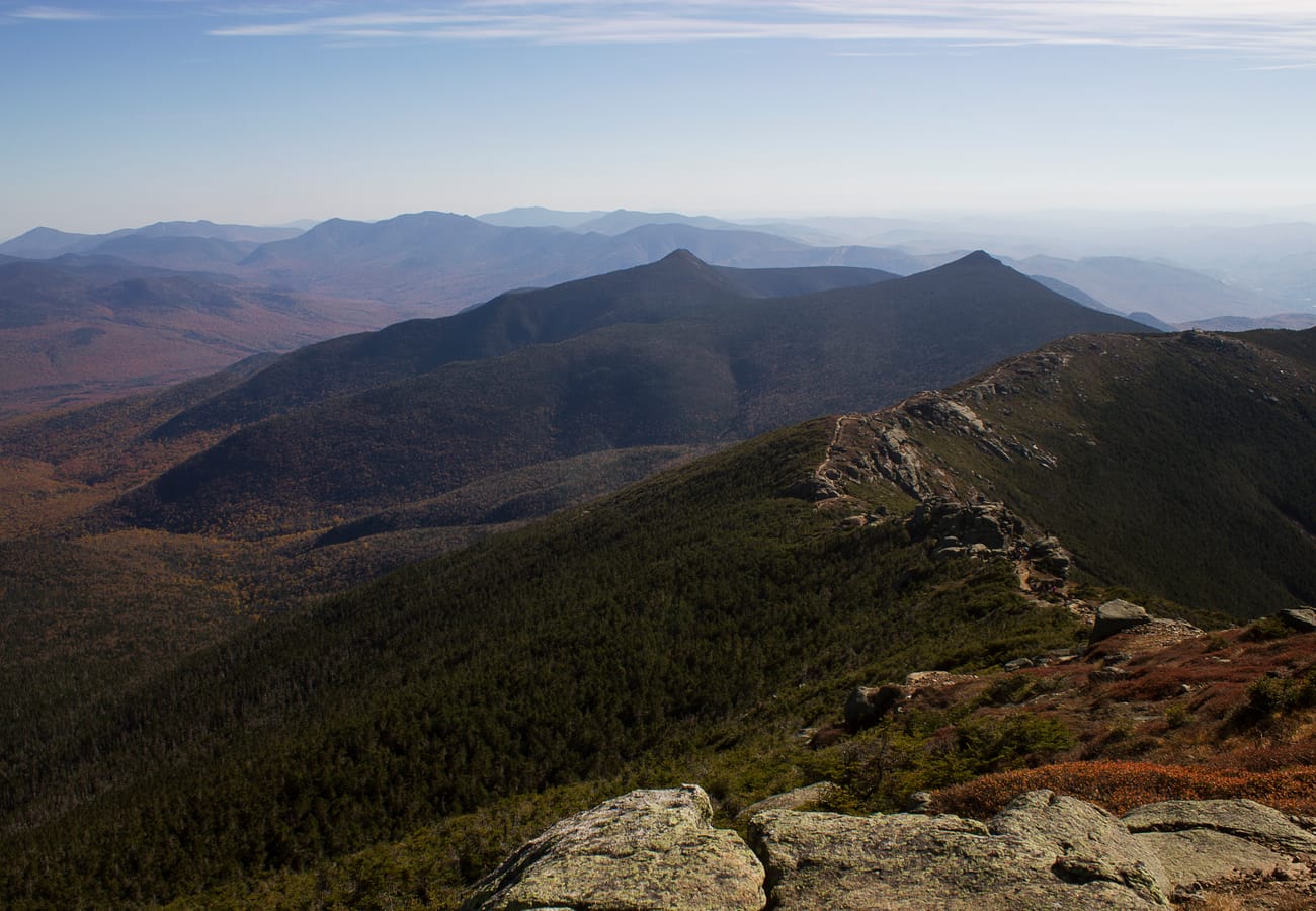 The towering granite ramparts of Franconia Notch State Park in New Hampshire's White Mountains
For travelers continuing eastbound into New Hampshire, linking the Adirondacks with the White Mountains provides an unmatched contrast of mountain architectures. Entering Franconia Notch State Park along US-3, drivers pass beneath the sheer 1,000-foot vertical granite face of Cannon Cliff, one of the most formidable big-wall rock faces in eastern North America.
From Lincoln, embark on the legendary Kancamagus Highway (NH Route 112). Climbing 34.5 miles through the heart of the White Mountain National Forest to an elevation of nearly 3,000 feet, this road is free from commercial signs, gas stations, and fast-food chains. Stops along the swift Swift River like Rocky Gorge, Lower Falls, and Sugar Hill Overlook showcase pristine subalpine landscapes that Reddit road-trippers consistently rank among the top scenic drives on the continent.
7. Central Adirondack Trail (New York Route 28 to Blue Mountain Lake)
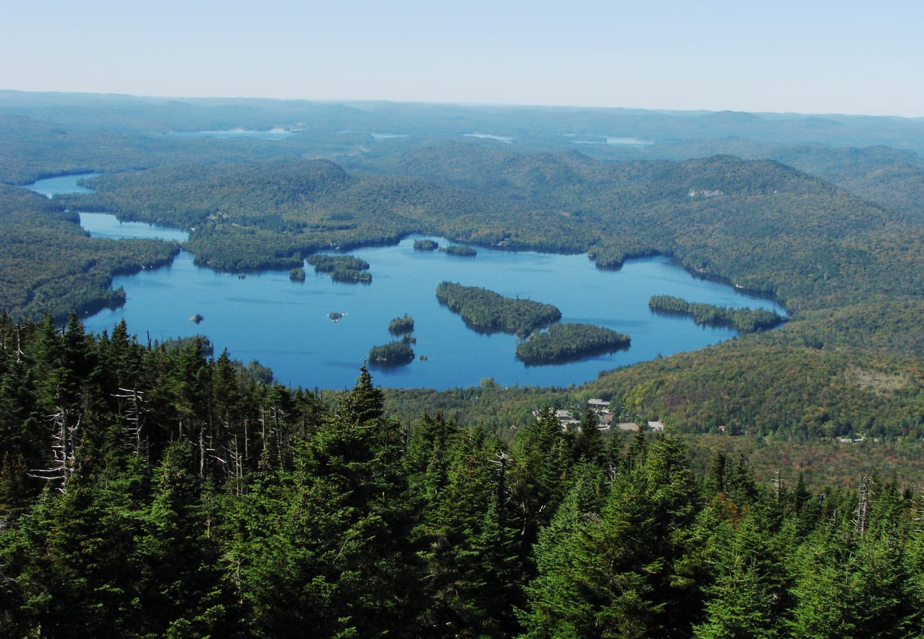 Tranquil sapphire waters and pristine wilderness pine forests lining Blue Mountain Lake on Route 28
Stretching 140 miles across central New York through the southern and western sectors of Adirondack Park, Route 28 provides a completely different visual rhythm than the sharp granite crags of the High Peaks. Passing through woodsy hubs like Old Forge, Inlet, and Raquette Lake, this byway winds through endless chains of interconnected glacial lakes, quiet pine bogs, and historic 19th-century Great Camps.
The centerpiece of the drive is Blue Mountain Lake, where deep cobalt waters reflect towering mountain silhouettes. Perched high above the lake is the Adirondack Experience (The Museum on Blue Mountain Lake), a world-class 121-acre open-air cultural museum showcasing historic guideboats, rustic Adirondack furniture, and locomotive logging engines. Heading east from Blue Mountain Lake, the highway leads through North Creek before meeting the Hudson River headwaters.
8. The Olympic Trail & Lower Saranac Lake (New York Route 3 & Route 86)
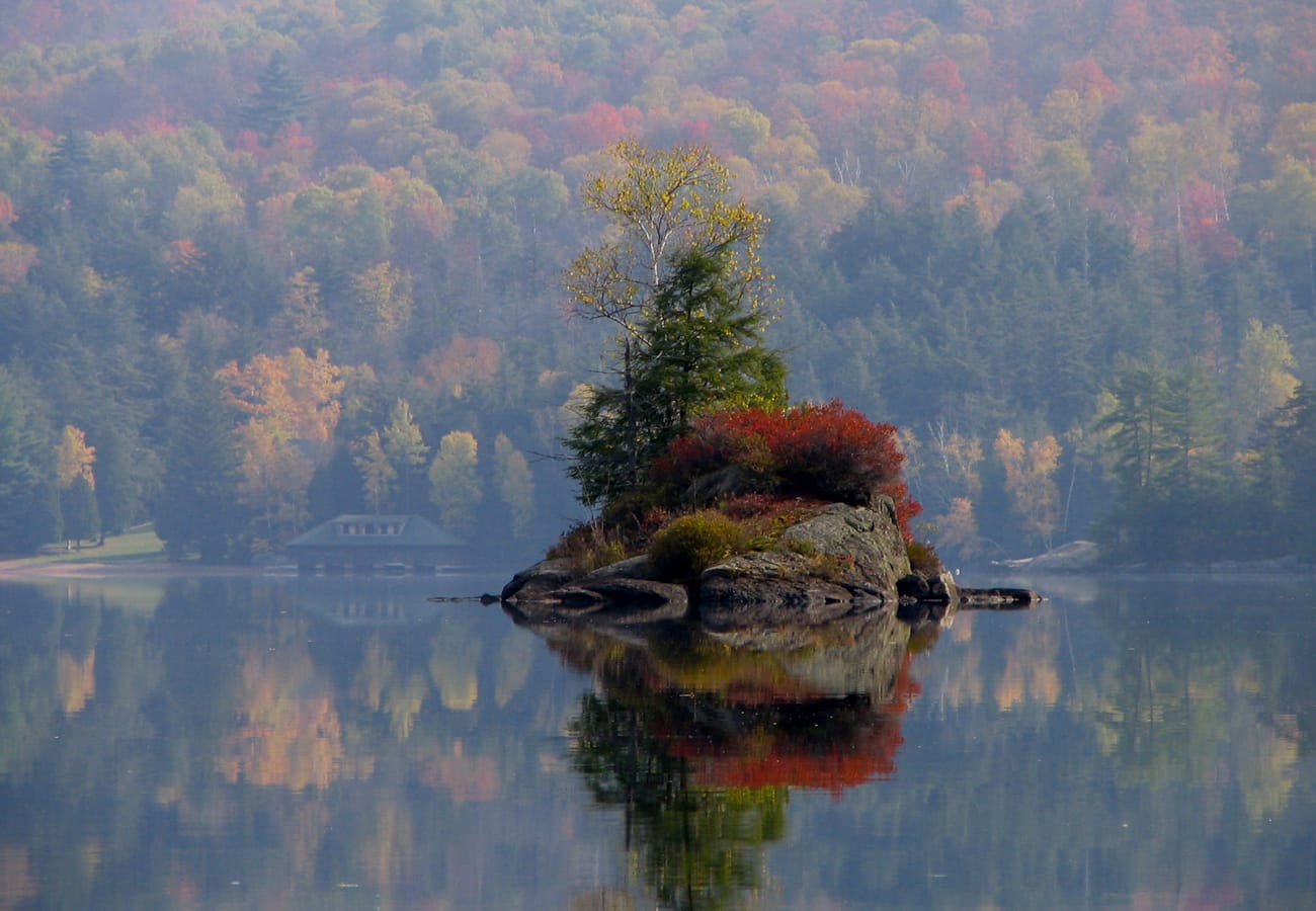 Dense evergreen islands dotting the calm wilderness surface of Lower Saranac Lake
Connecting Lake Ontario in western New York with Lake Champlain on the eastern border, the Olympic Byway follows State Routes 3 and 86 through the iconic lake country surrounding Saranac Lake and Tupper Lake. This northern boreal landscape was historically famous for fresh pine-scented air and sanatorium retreats, evolving into a haven for modern wilderness paddlers and scenic motorists.
Drive the winding stretch of Route 86 past High Falls Gorge, where the West Branch of the Ausable River cascades over billion-year-old rock shelves in a dramatic gorge. Continue past the tranquil coves of Lower and Middle Saranac Lakes, where dozens of pristine, primitive island campsites can be seen across the water. In Tupper Lake, stop at The Wild Center to stroll along the elevated Wild Walk—a boardwalk system that takes visitors through the forest canopy above the Adirondack floor.
9. Lakes to Locks Passage & Lake George (New York Route 9N)
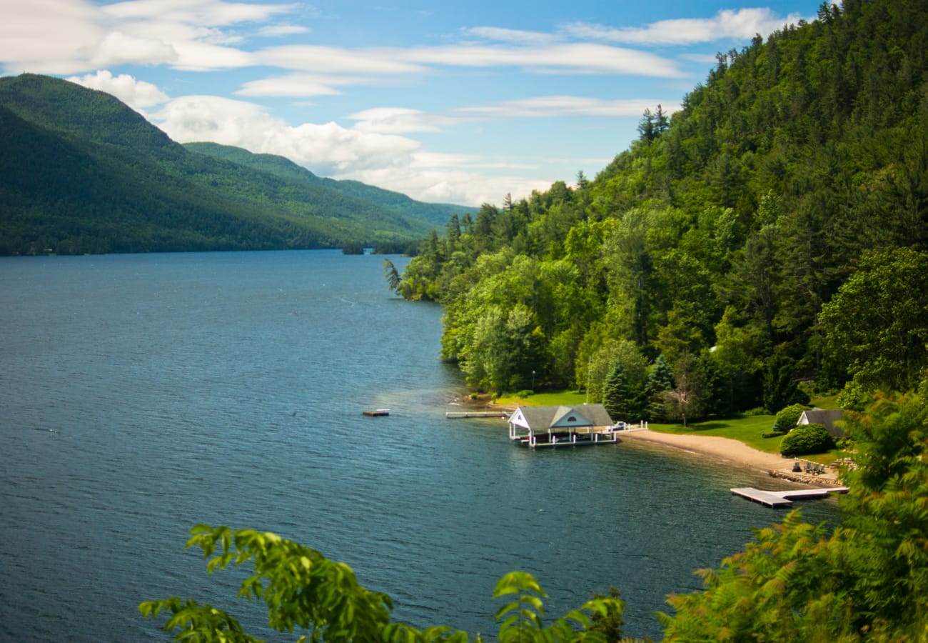 Expansive vistas over the shimmering blue waters of Lake George framed by Adirondack ridges
Known as "The Great Northeast Journey," the Lakes to Locks Passage follows the interconnected waterway corridors of the upper Hudson River, Lake George, and the Champlain Canal. Driving Route 9N northward from Lake George village to Ticonderoga offers some of the most dramatic waterside blacktop in New York, clinging to steep mountain shoulders dropping straight into the deep blue lake.
Stop at the scenic overlook above Sabbath Day Point, where the narrows of Lake George reveal dozens of emerald islands framed by the towering cliffs of Tongue Mountain. At the northern terminus in Ticonderoga, explore Fort Ticonderoga, the restored 18th-century star-shaped stone fortress that guarded the strategic portage between Lake George and Lake Champlain during the French and Indian War and the American Revolution.
10. Rangeley Lakes Scenic Byway & Height of Land (Maine Route 17)
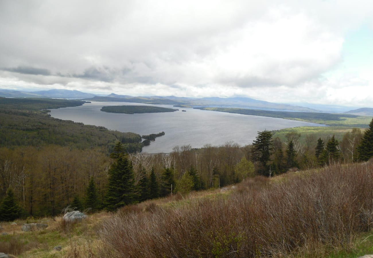 Expansive vistas across Mooselookmeguntic Lake from the iconic Height of Land overlook in western Maine
For intrepid road-trippers embarking on the ultimate grand northeast circuit from the Adirondacks across northern Vermont and New Hampshire into Maine, the Rangeley Lakes National Scenic Byway (Maine Route 17) is the ultimate grand finale. Departing US Route 2 at Mexico and climbing north through Byron and Coos Canyon, this remote highway leads straight into Maine’s high western wilderness.
The crowning jewel of the route is Height of Land, perched high on the western shoulder of Spruce Mountain. This roadside stone overlook offers an unobstructed, jaw-dropping panoramic view across Mooselookmeguntic and Upper Richardson lakes, with unbroken boreal evergreen forests rolling seamlessly toward the distant White Mountains on the New Hampshire border. It is a scene of pure, unblemished wilderness that perfectly encapsulates the enduring spirit of northern touring.
Essential Travel Advice for Northeast Mountain Road Trippers
- Manage Driving Paces on Two-Lane Roads: Mountain notch highways like Smugglers' Notch (VT-108), Middlebury Gap (VT-125), and Cascade Pass (NY-73) rarely permit speeds exceeding 35 to 45 mph. Budget extra time to navigate tight hairpins and stop at scenic pull-offs.
- Confirm Seasonal Road Openings: Higher elevation summit roads and gap passes—including Whiteface Mountain Memorial Highway (NY-431) and Mount Washington Auto Road (NH-16)—close seasonally between late October and mid-May depending on early snowfall. Always verify gate status before planning a drive.
- Integrate Lake Champlain Ferry Crossings: Using ferries like the Charlotte-Essex run or Grand Isle-Plattsburgh crossing saves hours of highway driving while offering panoramic water-level perspectives of the surrounding mountain ranges.
- Monitor Official Regional Resources: Road conditions, state park access, and seasonal updates change rapidly across three states. Check updates via I LOVE NY Tourism, Vermont Vacation Byways, and Visit New Hampshire before setting out.
Frequently Asked Questions
What is the best month to drive through the Adirondacks and New England?
Late September through mid-October is the undisputed pinnacle season for fall foliage, when sugar maples, paper birches, and aspens turn vibrant crimson, amber, and gold. For warm summer lake swimming, uncrowded mountain hiking, and open toll summit roads, July and August offer ideal road conditions.
How do I cross from the Adirondacks into Vermont with my vehicle?
Motorists can either drive across toll-free highway bridges (such as the Lake Champlain Bridge at Crown Point / Chimney Point or the Rouses Point bridge in the north) or board vehicle ferries operated by the Lake Champlain Transportation Company connecting Essex to Charlotte, Plattsburgh to Grand Isle, or Port Kent to Burlington.
Are there toll roads in the Adirondacks or New England mountains?
While most state byways are toll-free, certain landmark summit routes are fee-based historic scenic drives, including the Whiteface Mountain Veterans Memorial Highway in New York, the Mount Washington Auto Road in New Hampshire, and the Mount Equinox Skyline Drive in Vermont.
Can large RVs or trailers drive through Adirondack and New England mountain passes?
Standard passenger cars, SUVs, and minivans easily manage most corridors. However, recreational vehicles, tour buses, and vehicles towing trailers face legal restrictions or steep gradients on narrow mountain gaps like Vermont's Smugglers' Notch (VT-108) and tight hairpins on Massachusetts' Mohawk Trail (MA-2).
From ancient Adirondack granite ridges mirrored in still mountain lakes to misty New England notches where the winding road beckons ever onward, this trans-regional circuit remains the definitive road trip of the American Northeast.
Related Travel Guides
- 10 Best Maine, Vermont and New Hampshire Scenic Drives Reddit Travelers Recommend in 2026
- 10 Best New England Fall Foliage Road Trips Reddit Travelers Recommend in 2026
- 10 Best Blue Ridge Parkway and Great Smoky Mountains Road Trips Reddit Travelers Recommend in 2026
- 10 Best Rocky Mountain Road Trips Reddit Travelers Recommend for 2026
Disclaimer
This article is for informational and educational purposes only. It does not constitute legal, financial, or professional advice. While we strive to provide accurate and up-to-date information, travel policies, regulations, and conditions change rapidly. Always verify information with official sources before making travel decisions. Nomad Lawyer makes no representations about the accuracy, reliability, completeness, or suitability of the information provided. Readers should consult qualified professionals for advice specific to their circumstances. The views expressed in this article are those of the author and do not necessarily reflect the views of Nomad Lawyer.
Raushan Kumar
Founder & Lead Developer
Full-stack developer with 11+ years of experience and a passionate traveller. Raushan built Nomad Lawyer from the ground up with a vision to create the best travel and law experience on the web.
Learn more about our team →