Vermont and Northern New York Severe Weather Alert 2026: Thunderstorms and 60 MPH Winds Expected
A severe weather system is moving through Vermont and northern New York, bringing thunderstorms, damaging winds up to 60 mph, and heavy rain that will disrupt travel and outdoor activities.
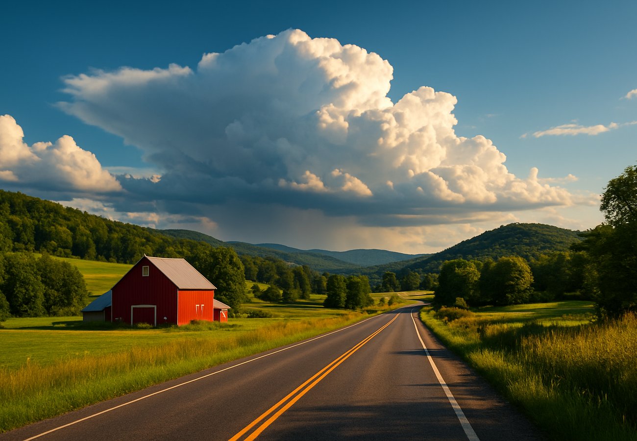
Image generated by AI
Quick Summary
- Weather System: Severe thunderstorms, gusty winds, and heavy rainfall are hitting Vermont and northern New York through Wednesday night.
- Wind Hazards: Damaging winds of up to 60 mph and gusts between 30–50 mph are expected, creating risks for fallen trees and power outages.
- Rainfall Accumulation: Widespread totals of 0.5 to 1.5 inches of rain are forecast, leading to slippery roads and potential rock slides in mountainous areas.
- Key Regions: Significant impacts are projected for the Adirondack Mountains, Lake Champlain, Stowe, and the Green Mountains.
- Travel Advice: Motorists should avoid non-essential travel during peak afternoon and evening storm hours; hikers are advised to postpone all mountain activities.
Travelers and residents in Vermont and northern New York are urged to exercise extreme caution this week as a powerful storm system sweeps across the region. Starting Tuesday afternoon and continuing through Wednesday night, May 6, 2026, the area is under a severe weather alert characterized by frequent lightning, hail, and damaging wind gusts reaching 60 mph. These conditions are expected to significantly degrade driving visibility and create logistical hazards, particularly on rural and mountain passes where debris and pooling water are likely. National Weather Service (NWS) data indicates that while the risk of major flooding remains low, the combined impact of high winds and steady downpours will likely cause localized power outages and render popular hiking trails in the Adirondacks and Green Mountains unsafe. As the system moves through, travelers are encouraged to pivot to indoor attractions to avoid the peak intensity of the storms before cooler, drier air stabilizes the region later in the week.
Vermont & Northern NY Severe Weather Alert: Key Forecast Metrics May 2026
The following table details the intensity and projected impact of the current weather system.
| Weather Element | Forecast Intensity | Primary Impact Areas | Duration |
|---|---|---|---|
| Max Wind Gusts | 60 MPH (Damaging) | Northern NY & Central Vermont | Peak Tues Afternoon |
| Steady Rainfall | 0.5 – 1.5 Inches | Widespread (Mountainous focus) | Tues Night – Wednesday |
| Severe Risks | Frequent Lightning & Hail | Lake Champlain, Adirondacks | Intermittent Peaks |
| Sustained Winds | 30 – 50 MPH | Rural & High-Altitude Zones | Through Wednesday |
| Flood Risk | Low | Low-lying pooling | Wednesday AM |
| Temperature | Below Average Post-Storm | Regional | Wednesday Night onwards |
Severe Thunderstorms: 60 MPH Winds and Hail Risk
A line of intense thunderstorms is moving through the northern tier:
- Wind Damage: Gusts reaching 60 mph have the potential to down power lines and large tree branches, especially in the central Vermont corridor.
- Hail Impact: Occasional hailstorms are forecast, which may cause minor property damage and create suddenly slick conditions on Interstate 89 and local routes.
- Visibility: Rapidly deteriorating conditions and frequent lightning will make driving treacherous during the peak storm hours of Tuesday afternoon.
Heavy Rainfall: Navigating 1.5 Inches of Accumulation
The storm system will transition into a period of steady, heavy rain:
- Mountain Hazards: Rainfall accumulations up to 1.5 inches increase the risk of rock slides and slippery terrain in Stowe and the Green Mountains.
- Road Safety: Travelers should be wary of hydroplaning and pooling water on rural mountain roads where drainage may be slower.
- Trail Closures: Most high-altitude hiking trails in the Adirondacks are considered unsafe until the system clears and ground conditions stabilize.
Regional Impact: Adirondacks, Lake Champlain, and Stowe
The geography of the region creates specific risks for travelers:
- Adirondack Mountains: High winds are particularly dangerous in densely forested areas; campers and hikers should seek sturdy shelter.
- Lake Champlain: Boaters are advised to stay off the water as sudden gusts and lightning strikes pose a significant threat to small craft.
- Stowe Area: Popular outdoor destinations should expect reduced visibility and a temporary suspension of outdoor festivals or guided tours.
Safety Protocol: Managing Power Outages and Road Hazards
DHS and local authorities recommend the following precautions:
- Delay Travel: Avoid non-essential road travel during the late afternoon and evening when storm intensity is at its highest.
- Emergency Power: Keep mobile devices charged and have flashlights ready, as rural Vermont is susceptible to wind-induced power outages.
- Check Road Conditions: Monitor local DOT reports for road closures caused by fallen trees or debris before beginning any journey.
Indoor Alternatives: Shifting Itineraries during Peak Storm Hours
For travelers currently in the region, shifting focus to indoor attractions is recommended:
- Museums: The Bennington Museum in Vermont and the Adirondack Museum offer safe, cultural alternatives during heavy downpours.
- Local Breweries: Vermont’s renowned craft brewery scene provides excellent indoor options to wait out the thunderstorms.
- Call Ahead: Always verify operating hours, as some venues may adjust schedules due to local power disruptions.
Forecast Outlook: When the Storms Will Clear
The weather pattern is expected to shift significantly by the end of the week:
- Wednesday Night: The primary storm system will exit the region, leading to a stabilization of atmospheric conditions.
- Cooler Conditions: Temperatures will drop below the seasonal average following the rain, requiring travelers to pack extra layers for the weekend.
- Weekend Outlook: Expect occasional light showers, but the severe threat will have passed, making outdoor activities like sightseeing and festival attendance viable again.
FAQ: Vermont & Northern NY Storm Alert 2026
Is it safe to drive to Stowe right now? Travel is possible but not recommended during peak storm hours (Tuesday afternoon/evening) due to 60 mph winds and heavy rain. Check local road reports before departing.
Will there be flooding in Lake Champlain? While flood risks are categorized as low by the NWS, localized pooling of water on low-lying roads is expected on Wednesday morning.
Are the hiking trails in the Green Mountains open? Most trails remain open, but state authorities strongly advise against hiking during this alert due to slippery conditions and the risk of falling branches.
Related Travel Guides
- Vermont Mountain Safety: A Guide for Hikers and Campers
- Top Indoor Attractions in Northern New York 2026
- Stowe, Vermont: A Seasonal Travel Planner
Disclaimer: Weather forecasts are provided by the National Weather Service. Travelers are urged to monitor real-time radar and local emergency alerts for the most accurate and up-to-date safety information.

Kunal K Choudhary
Co-Founder & Contributor
A passionate traveller and tech enthusiast. Kunal contributes to the vision and growth of Nomad Lawyer, bringing fresh perspectives and driving the community forward.
Learn more about our team →