
New Mexico Flood Crisis 2026: San Juan River Surges and Road Closures Impact US Southwest Travel
Severe flooding across New Mexico, Colorado, and Utah has disrupted critical transport links and forced thousands of evacuations, creating significant travel risks across the US Southwest in late 2026.

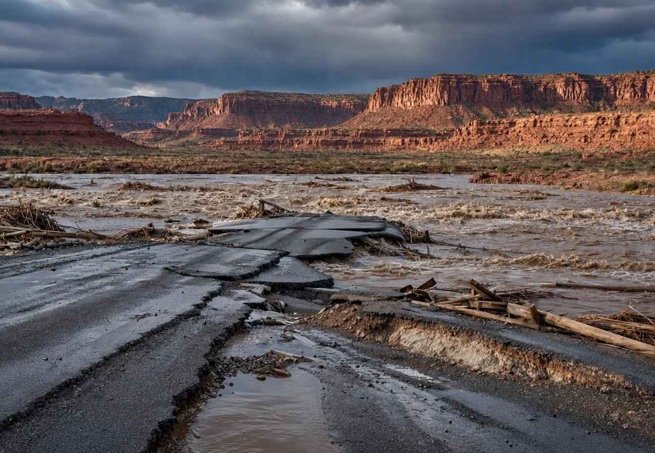
Image generated by AI
The Rio Puerco near Bernardo recently hit water levels not seen since July 1944, proving that even normally dry channels in the Southwest can transform into deadly torrents without warning. This sudden hydrological shift has paralyzed portions of New Mexico and sent ripples of instability into Colorado and Utah, turning a seasonal weather pattern into a regional emergency.
The 2026 Southwest Flood Emergency
The current crisis began on 22 October 2026, when a series of relentless storms saturated the Four Corners region. This wasn't a single event but a cumulative disaster; repeated downpours hit soil that was already soaked, meaning new rain had nowhere to go but into the river systems. The San Juan, Animas, and Rio Chama rivers became the primary conduits for this runoff, carrying floodwaters far downstream into areas where the skies had already cleared.
For the modern traveler, this creates a dangerous illusion. A sunny day in Farmington or Shiprock does not mean the roads are safe. The water moves as a wave, and the instability of riverbanks persists long after the clouds vanish.
Critical Water Levels and Infrastructure Impact
The scale of the disaster is best understood through the river gauges. In Farmington, the San Juan River peaked at 14.07 feet, significantly surpassing the 12-foot major flood threshold. Further west in Shiprock, the river hit 16 feet before the sheer force of the water destroyed the monitoring equipment, leaving officials uncertain of the actual peak.
The impact on infrastructure is severe. In San Juan County alone, crews are currently inspecting a network of approximately 750 miles of county roads. The danger is not just the water on the asphalt, but the structural integrity of the crossings.
Regional Flood Data and Road Status (October 2026)
| Location/Entity | Peak Level / Status | Flood Threshold | Current Impact |
|---|---|---|---|
| San Juan River (Farmington) | 14.07 feet | 12 feet | Major flooding; transport links threatened |
| San Juan River (Shiprock) | 16 feet (Gauge failed) | N/A | Monitoring equipment destroyed |
| Rio Puerco (Bernardo) | 24.3 feet | 19.5 feet | Highest levels since July 1944 |
| Rio Chama (Chamita) | 6.7 feet | 6 feet | Bank erosion; threat to low-lying property |
| CR 5500 Bridge | Closed | N/A | Awaiting NMDOT inspection |
| CR 6675 (APS/Goldens) | Closed | N/A | Awaiting NMDOT inspection |
Visitor Insider Tips
If you are planning to transit through the US Southwest or visit New Mexico during this recovery period, generic GPS apps will likely fail you.
- Avoid "Shortcut" Instincts: Do not attempt to bypass official barriers. In San Juan County, roads may look dry, but the foundations of bridges like CR 5500 and CR 6675 are potentially compromised.
- Check Official Portals: Before departing, verify road status via the New Mexico Department of Transportation (NMDOT) or the National Weather Service (NWS).
- Timing Your Visit: Avoid the river basins in Rio Arriba and San Juan counties until the NMDOT clears the secondary road networks.
- Local Hubs: If you need a base, stay away from the immediate banks of the San Juan and Rio Chama. Be aware that community hubs like McGee Park remain restricted; all events and riding activities are cancelled until 1 December.
- Transport Hack: If you must travel near Bernardo, be extremely cautious of the old Highway 60 bridge. Once the Rio Puerco hits 24 feet, this bridge is typically overtopped, which can lead to sudden detours onto Interstate 25.
Cultural and Environmental Context
This crisis highlights the precarious balance of tourism and environment in the high desert. The Southwest is accustomed to "flash" events, but the 2026 floods are different due to the duration of the saturation. The estimated impact—affecting 160,000 residents and potentially damaging 18,000 homes in San Juan County—shows how vulnerable rural infrastructure is to extreme weather.
The interaction between tourism and local recovery is currently strained. With 30 swift-water rescue operations conducted by 26 October, emergency services are stretched thin. When visitors ignore road closures or attempt to photograph swollen rivers, they risk diverting critical rescue resources away from displaced families. Furthermore, the erosion along the Rio Chama is destroying not just roads, but essential rural infrastructure like septic tanks and wells, which will take months to remediate.
FAQ: Visiting New Mexico 2026
Is it safe to drive through San Juan County right now? Only on primary highways. Many county roads and specific bridges (CR 5500 and CR 6675) are closed. Always check NMDOT for real-time closures before entering rural areas.
Are the national parks in the Southwest affected? While the focus is on New Mexico, rising waters in Colorado and Utah along the San Juan River have created dangerous conditions. Check the National Park Service (NPS) for specific trail or road closures.
How do I know if a road is safe if it isn't raining? You cannot judge safety by the current weather. Floodwaters travel downstream; a sunny area can still be hit by a surge from upstream. Trust official barriers over visual cues.
What should I do if I encounter a flooded road? Turn around immediately. Do not attempt to drive through moving water, as the road surface underneath may have been washed away, creating a lethal trap.
Stay alert, respect the barriers, and let the water recede before venturing off the beaten path.
Related Travel Guides
Disclaimer
This article is for informational and educational purposes only. It does not constitute legal, financial, or professional advice. While we strive to provide accurate and up-to-date information, travel policies, regulations, and conditions change rapidly. Always verify information with official sources before making travel decisions. Nomad Lawyer makes no representations about the accuracy, reliability, completeness, or suitability of the information provided. Readers should consult qualified professionals for advice specific to their circumstances. The views expressed in this article are those of the author and do not necessarily reflect the views of Nomad Lawyer.
Raushan Kumar
Founder & Lead Developer
Full-stack developer with 11+ years of experience and a passionate traveller. Raushan built Nomad Lawyer from the ground up with a vision to create the best travel and law experience on the web.
Learn more about our team →