
7 Dangerous Zion National Park Hikes Beyond Angels Landing: High-Risk Trails and Safety Warnings for 2026
Beyond the famous Angels Landing, Zion National Park contains several high-risk trails where flash floods and cliff edges pose significant dangers to hikers in 2026.

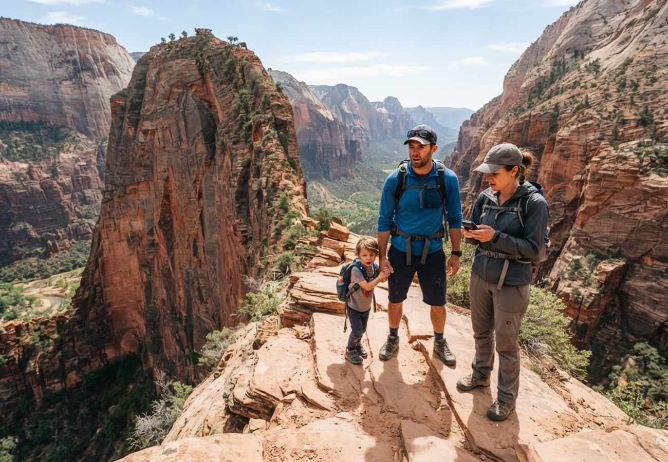
Image generated by AI
[Springdale, Utah] — While Angels Landing remains the most notorious trail in Zion National Park, industry reports and National Park Service (NPS) data indicate that several other routes pose equal or greater risks to visitors. Recent incidents, including a fatality on Angels Landing in April despite the current lottery system, highlight that strict regulations cannot entirely eliminate the inherent dangers of the Utah desert.
Zion is frequently identified as one of the most hazardous national parks in the United States. This reputation stems from a combination of 1,000-foot precipices, unstable sandstone formations, and narrow slot canyons that are susceptible to sudden, lethal flash floods. For those seeking high-adrenaline experiences, officials warn that technical skill and strict adherence to NPS guidelines are mandatory to avoid becoming part of the park's injury and fatality statistics.
Hidden Canyon Rockfall Risks and Height Hazards
The Hidden Canyon trail is often compared to Angels Landing due to its vertigo-inducing nature. The path consists of narrow, slick sandstone corridors positioned against steep canyon walls. To assist hikers, chains are bolted directly into the rock, yet the NPS explicitly warns that this route is unsuitable for individuals with a fear of heights.
Currently, Hidden Canyon is closed to the public following a significant rockfall event. Industry observers note that the unstable sandstone in this region frequently shears off, creating a constant hazard for those below. Furthermore, the desert heat can cause the stone to crumble, while summer rainstorms render the surfaces dangerously slippery.
| Trail Detail | Hidden Canyon via East Rim Trail |
|---|---|
| Distance | 2.5 miles |
| Difficulty | Hard |
| Average Hike Time | ~2.5 hours |
| Permit Required? | No |
| Most Recent Fatality | 1990 |
While no deaths have been recorded on this specific trail since 1990, rescue operations remain frequent. A notable incident occurred in 2018 when a major rockslide trapped nine hikers, necessitating an emergency extraction.
Observation Point Elevation and Cliff Edges
Many visitors mistakenly believe Angels Landing is the highest peak in the park. In reality, Observation Point reaches an elevation of nearly 7,000 feet, significantly surpassing the 5,790 feet of Angels Landing. This elevation provides unparalleled views of Zion Canyon, but the summit lacks safety railings or barriers.
The primary danger at Observation Point is the unprotected cliff edge. Reports indicate that sandstone becomes unsteady and slick following the rainstorms common during the summer months. This instability has led to multiple fatal falls over the years as hikers venture too close to the edge for photographs.
| Trail Detail | Observation Point via East Mesa Trail |
|---|---|
| Distance | 7.0 miles |
| Difficulty | Hard |
| Average Hike Time | ~3.5 hours |
| Permit Required? | No |
| Most Recent Fatality | 1997 |
The Subway Technical Canyoning Requirements
The Subway is a technical slot canyon carved by a tributary of the Virgin River. Unlike standard hiking trails, this route requires advanced route-finding skills and is strictly regulated by an NPS permit system to limit traffic.
Hikers generally choose between two methods: the "bottom-up" approach for traditional hikers or the "top-down" route, which requires canyoneering expertise and rappelling gear. Regardless of the chosen path, the greatest threat is the potential for flash floods, which can fill the narrow canyon in minutes, leaving hikers with no escape route.
| Trail Detail | The Subway |
|---|---|
| Distance | 7.2 miles |
| Difficulty | Hard |
| Average Hike Time | Varies by route |
| Permit Required? | Yes |
| Most Recent Fatality | 2013 |
Keyhole Canyon and the Danger of Flash Flooding
Despite a short round-trip distance of less than one mile, Keyhole Canyon is one of the most technically demanding areas in the park. Many hikers underestimate the trail, but it requires specialized canyoneering equipment and skills.
The environment is characterized by waist-high water that can be freezing in winter or stagnant during the summer. Because the trail involves significant rock scrambling and climbing, it is poorly marked, leading many travelers to become lost in the desert.
The most catastrophic event in this area occurred on September 14, 2015, when a flash flood killed seven friends, known as the "Keyhole Seven." This disaster underscores the lethal nature of Zion's slot canyons.
| Trail Detail | Keyhole Canyon Loop |
|---|---|
| Distance | 0.7 miles |
| Difficulty | Hard |
| Average Hike Time | ~1.5 hours |
| Permit Required? | Yes (if using gear) |
| Most Recent Fatality | 2015 |
Emerald Pools Fall Hazards
The Upper and Lower Emerald Pools are among the park's most visited attractions, but the Upper Emerald Pools trail presents a specific danger: the intersection of elevation and water.
While the drops here are not as extreme as those on Angels Landing, a 100-foot fall is often fatal. NPS records indicate that the Emerald Pools area has seen more fall-related deaths than any other location in the park except for Angels Landing.
| Trail Detail | Emerald Pools Trail |
|---|---|
| Distance | 3.0 miles |
| Difficulty | Moderate |
| Average Hike Time | ~1.5 hours |
| Permit Required? | No |
| Most Recent Fatality | 2021 |
Why This Matters: The Evolution of Park Safety
The data from Zion National Park reveals a critical trend in outdoor recreation: the "celebrity" status of certain trails, like Angels Landing, often obscures the risks of less-famous routes. When the NPS implements lottery systems or permits for one area, hikers may inadvertently migrate toward "unregulated" trails that are actually more dangerous due to a lack of infrastructure or technical requirements.
The high fatality rate in slot canyons like Keyhole Canyon demonstrates that distance is not a metric for safety. A sub-one-mile hike can be more lethal than a ten-mile trek if the environment is prone to flash flooding. For the aviation and travel industry, this highlights the necessity of integrating real-time environmental alerts into tourist advisories. As more travelers seek "off-the-beaten-path" experiences in 2026, the gap between hiker ability and trail difficulty continues to widen, making professional gear and certified guides essential for survival in the Utah backcountry.
Safety in Zion is not determined by the length of the trail, but by the volatility of the terrain.
Related Travel Guides
Disclaimer
This article is for informational and educational purposes only. It does not constitute legal, financial, or professional advice. While we strive to provide accurate and up-to-date information, travel policies, regulations, and conditions change rapidly. Always verify information with official sources before making travel decisions. Nomad Lawyer makes no representations about the accuracy, reliability, completeness, or suitability of the information provided. Readers should consult qualified professionals for advice specific to their circumstances. The views expressed in this article are those of the author and do not necessarily reflect the views of Nomad Lawyer.
Kunal K Choudhary
Co-Founder & Contributor
A passionate traveller and tech enthusiast. Kunal contributes to the vision and growth of Nomad Lawyer, bringing fresh perspectives and driving the community forward.
Learn more about our team →