
Colorado Fire Shuts Highway 140 Near Yosemite as Evacuations Expand in 2026
Burning 250 acres at 0% containment in Mariposa County, the Colorado Fire shuts Highway 140 near Yosemite, prompting mandatory evacuations across zones 546, 548, and 549.

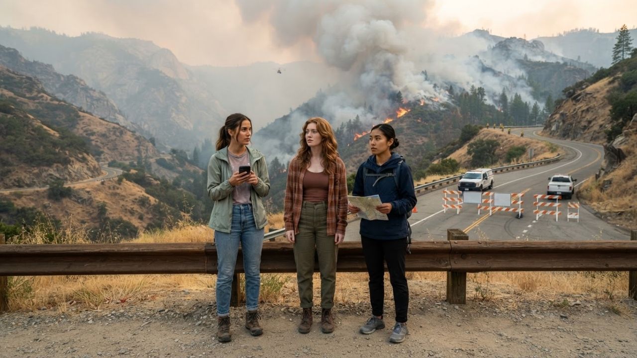
Image generated by AI
Igniting after a highway collision in Mariposa County, the Colorado Fire has expanded to approximately 250 acres at 0% containment, forcing the immediate closure of Highway 140 between Briceburg and the Bug Hostel and triggering mandatory evacuations along Yosemite National Park's western gateway.
The Local Trend: Wildfire Highway Closures Disrupting National Park Gateways
A fast-moving mountain wildfire has disrupted one of the most critical approach corridors into Yosemite National Park. Originating at approximately 1:26 PM on September 1, 2026, near the intersection of Highway 140 and Colorado Road in Mariposa County, the Colorado Fire has grown rapidly from an initial spot fire to 171 acres and subsequently to 250 acres.
Driven by dry timber and steep canyon gradients, the blaze is running upslope with zero percent containment, threatening approximately 45 residential and commercial structures. CAL FIRE and local emergency services have closed Highway 140—the primary all-weather western entrance route to Yosemite Valley—between Briceburg and the Bug Hostel, as well as Rancheria Creek Road, rerouting thousands of holiday travelers and tour operators to alternate mountain passes.
Emergency Evacuation Orders and Firefighting Deployment
CAL FIRE and the Mariposa County Sheriff’s Office have enacted emergency life-safety protocols across the Merced River corridor:
- Mandatory Evacuation Zones: Immediate evacuation orders are in effect for Mariposa zones 546, 548, and 549, encompassing Rancheria Creek Road, Briceburg campgrounds, and the Octagon area. Evacuation warnings cover Colorado Road between Highway 140 and Rancheria Creek.
- Disaster Relief Center: Displaced residents and stranded travelers have been directed to New Life Calvary Chapel in Mariposa, which is providing temporary shelter and small animal accommodations.
- Suppression Resources on Scene: CAL FIRE has deployed 126 firefighters, 14 fire engines, 4 air-attack helicopters, 2 bulldozers, 3 hand crews, and 3 water tenders battling difficult upslope fire behavior.
- Origin Investigation: Preliminary reports indicate the ignition followed a vehicular collision involving a cement mixer truck and an unoccupied small tour bus whose driver escaped uninjured.
Colorado Fire Incident Status and Yosemite Transit Parameters
| Incident Parameter | Official Specification / Status | Traveler Operational Context |
|---|---|---|
| Incident Name & Location | Colorado Fire, Mariposa County, CA | Highway 140 & Colorado Road junction |
| Ignition Time & Date | ~1:26 PM on September 1, 2026 | Vehicle collision origin under investigation |
| Current Fire Acreage | Approximately 250 Acres | 0% Containment; active upslope spotting |
| Structures Threatened | 45 Structures in fire path | No confirmed property losses reported |
| Active Highway Closure | Highway 140 (Briceburg to Bug Hostel) | Closed to all civilian vehicle traffic |
| Mandatory Evacuation Zones | Mariposa County Zones 546, 548, 549 | Immediate evacuation enforced |
| Evacuation Shelter | New Life Calvary Chapel, Mariposa | Emergency human and pet sheltering |
| Firefighting Personnel | 126 Crew members & 4 helicopters | 14 engines, 2 dozers, 3 hand crews, 3 tenders |
Navigating Yosemite National Park Access During Highway 140 Closure
Yosemite National Park remains open to visitors despite western corridor disruptions:
- Open Alternate Routes: Travelers heading into Yosemite Valley can utilize Highway 120 West / Big Oak Flat Road (from Oakdale/San Francisco Bay Area) or Highway 41 / Wawona Road (from Fresno and Southern California). Both northern and southern access routes, as well as interior Yosemite Valley roads, remain accessible.
- Yosemite Hospitality Continuity: Properties located outside mandatory evacuation zones in Oakhurst, Fish Camp, Groveland, and Yosemite West continue operating; travelers with reservations at Briceburg or El Portal properties should contact hosts directly for rescheduling.
Destination Specialist Local Insider Tips
Travelers currently in the Central Sierra or planning road trips to Yosemite can protect their safety and itinerary with these essential tips:
- Verify Caltrans QuickMap Before Driving: Do not rely on standard GPS navigation apps, which often lag behind emergency roadblock updates; consult the official Caltrans QuickMap mobile app (quickmap.dot.ca.gov) for real-time highway closures.
- Check Yosemite National Park Webcams and Air Quality: Monitor air quality via PurpleAir and view real-time smoke plumes across Yosemite Valley using official National Park Service webcams at nps.gov/yose before booking outdoor hikes.
- Enter via Highway 41 Through Wawona: If traveling from Los Angeles or Central Valley airports, route through Highway 41 north of Fresno to access the Mariposa Grove of Giant Sequoias and Tunnel View without entering fire-affected zones.
- Respect Emergency Evacuation Perimeters: Never attempt to bypass California Highway Patrol roadblocks to reach closed trailheads or backcountry camps in the Merced River canyon.
- Keep Vehicle Fuel Tanks at Least Half-Full: Mountain detours around Highway 140 add significant driving mileage and elevation climb through remote stretches with sparse service stations.
Future Outlook
While the Colorado Fire demonstrates how localized wildfire incidents can immediately disrupt primary tourist routes, coordinated multi-agency responses ensure that traveler safety and alternative park access are maintained. By monitoring official CAL FIRE updates and remaining flexible with mountain transit routes, visitors can safely navigate California's iconic national park gateways.
Related Travel Guides
Disclaimer
This article is for informational and educational purposes only. It does not constitute legal, financial, or professional advice. While we strive to provide accurate and up-to-date information, travel policies, regulations, and conditions change rapidly. Always verify information with official sources before making travel decisions. Nomad Lawyer makes no representations about the accuracy, reliability, completeness, or suitability of the information provided. Readers should consult qualified professionals for advice specific to their circumstances. The views expressed in this article are those of the author and do not necessarily reflect the views of Nomad Lawyer.
Preeti Gunjan
Contributor & Community Manager
A passionate traveller and community builder. Preeti helps grow the Nomad Lawyer community, fostering engagement and bringing the reader experience to life.
Learn more about our team →